Elk Lick Township near Springs in Somerset County, Pennsylvania — The American Northeast (Mid-Atlantic)
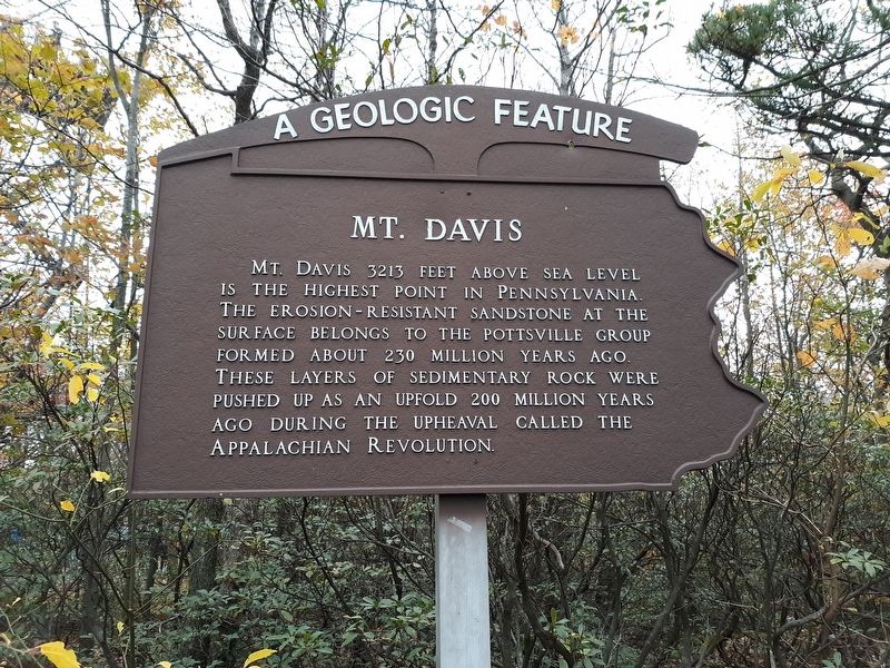
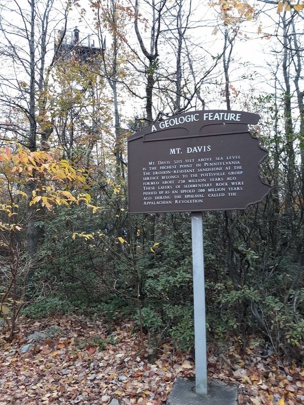
Mount Davis
A Geologic Feature
Topics. This historical marker is listed in this topic list: Natural Features.
Location. 39° 47.15′ N, 79° 10.617′ W. Marker is near Springs, Pennsylvania, in Somerset County. It is in Elk Lick Township. Marker is on South Wolf Rock Road. Touch for map. Marker is at or near this postal address: S Wolf Rock Rd, Salisbury PA 15558, United States of America. Touch for directions.
Other nearby markers. At least 8 other markers are within walking distance of this marker. Mt. Davis (a few steps from this marker); You are now standing more than fifty feet above the Highest Point (within shouting distance of this marker); John Nelson Davis (within shouting distance of this marker); Industry On Negro Mountain (within shouting distance of this marker); Tar Kiln (within shouting distance of this marker); The Wild Child (within shouting distance of this marker); Baughman Rocks (within shouting distance of this marker); a different marker also named Baughman Rocks (approx. 0.7 miles away). Touch for a list and map of all markers in Springs.
Credits. This page was last revised on February 7, 2023. It was originally submitted on December 29, 2020, by Craig Doda of Napoleon, Ohio. This page has been viewed 246 times since then and 21 times this year. Photos: 1, 2. submitted on December 29, 2020, by Craig Doda of Napoleon, Ohio. • Bill Pfingsten was the editor who published this page.

