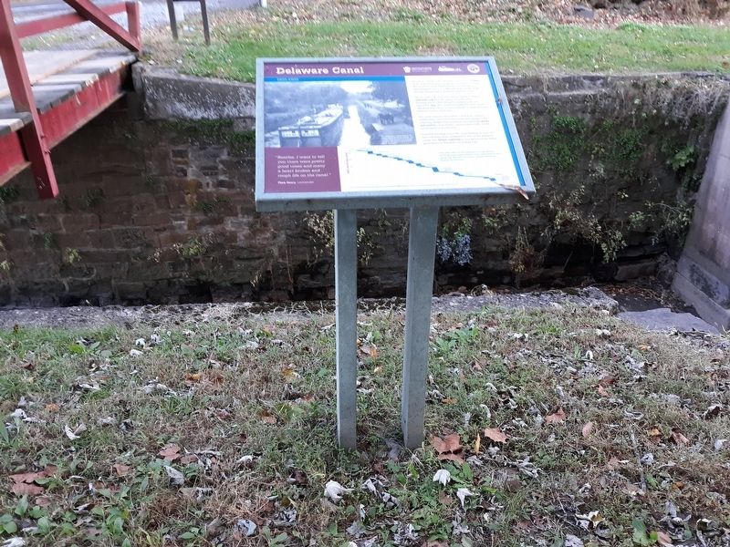
Delaware Canal
1831-1932
| — | Delaware Canal Lock 20 State Park | — |

Flora Henry, Locktender
Shouts of "Gid-Up” echo along the canal. Pairs of mules strain at their harnesses to get the canal boats moving. The sound of conch shell horns alert locktenders to approaching boats. It is 4 AM, still dark, yet the work day has already begun along the Delaware Canal.
The 60-mile-long canal was built to reliably transport anthracite coal from the mines of northeastern Pennsylvania to cities along the eastern seaboard. Opened in 1831, the canal had twenty-four locks (water elevators) that raised or lowered boats on their journeys between Easton and Bristol.
The canal shaped communities. Canal boat captains, muletenders, and locktenders made their living on the waterway. Neighboring businesses. provided the goods and services canal workers needed while traffic on the canal fueled local enterprise.
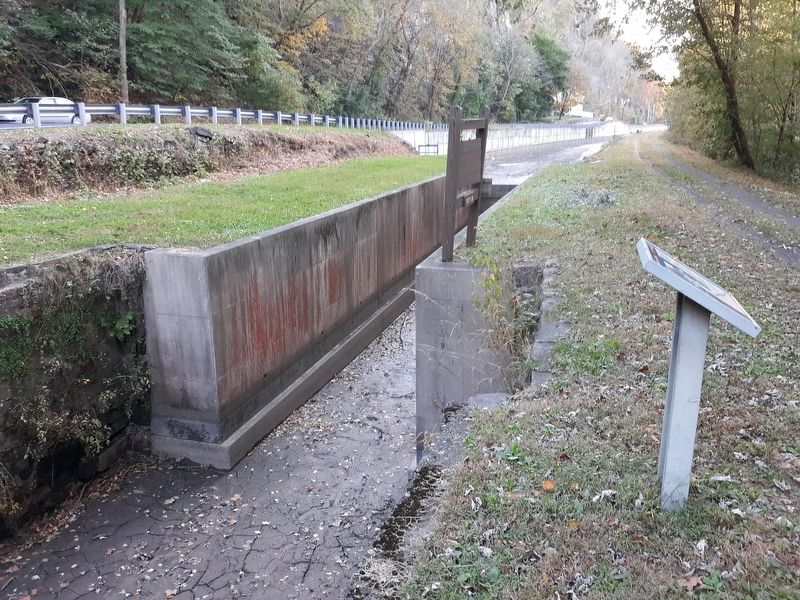
This side view of the Delaware Canal shows the locks that were used to raise and lower boats along the 165-foot elevation change between Easton and Bristol.
An
this page online
Topics and series. This historical marker is listed in this topic list: Waterways & Vessels. In addition, it is included in the Delaware Canal (AKA Delaware Division of the Pennsylvania Canal) series list. A significant historical year for this entry is 1831.
Location. 40° 33.733′ N, 75° 9.817′ W. Marker is in Upper Black Eddy, Pennsylvania, in Bucks County. It is on River Road (Pennsylvania Route 32), on the left when traveling east. Touch for map. Marker is in this post office area: Upper Black Eddy PA 18972, United States of America. Touch for directions.

Regionally, this marker is in Southeast Pennsylvania and in Greater Philadelphia. It is also in the American Northeast and in the Mid-Atlantic. Globally, it is in North America, the Western Hemisphere, the Western World, and the Anglosphere. Historically, it finds itself in what was once the Haudenosaunee (Iroquois) Confederacy, New Netherland, and one of the original Thirteen Colonies.
Other nearby markers. At least
Credits. This page was last revised on December 31, 2020. It was originally submitted on December 30, 2020, by Craig Doda of Napoleon, Ohio. This page has been viewed 233 times since then and 19 times this year. Photos: 1, 2, 3. submitted on December 30, 2020, by Craig Doda of Napoleon, Ohio. • Bill Pfingsten was the editor who published this page.
