Spanning History
| — | Kinzua Bridge State Park | — |
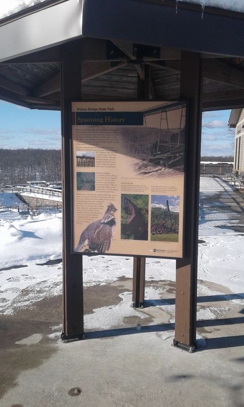
An active railroad bridge until June 1959, the Kinzua Viaduct was declared a National Engineering Landmark in 1977. Between 1987 and 2002, excursion trains crossed the viaduct. In 2002, inspection revealed extensive rust and damage from lateral winds, and the bridge was closed to both trains and pedestrians.
Winds of change
On Monday, July 21, 2003, an
F1 tornado with wind speeds
between 71 and 112 miles
per hour struck the side of
the Kinzua Viaduct. The iron
anchor bolts failed, and the
tornado tore 11 of the viaduct's
20 towers from their bases.
Within days of the tornado's assault on the bridge, nature began to respond to the effects of the wind. Areas that were once shaded by the forest quickly became nurseries for young plants that once competed for sunshine. Fallen trees became shelter for a variety of creatures such as insects, mice, chipmunks, and songbirds. New food sources for wildlife became available, attracting squirrels, grouse, turkey, deer, and bear. Nature's continuing efforts to erase the scars of the tornado can be seen throughout the park.
Enjoying the park
Since 1970, 339-acre Kinzua Bridge State Park has offered visitors access to not only a spectacular man-made landmark, but to natural treasures as well. Watch hawks ride ridgeline thermals.
Picnic in the shade and listen for songbirds in the forest canopy. Return as autumn foliage peaks,
this page online
Topics. This historical marker is listed in these topic lists: Bridges & Viaducts • Disasters • Parks & Recreational Areas. A significant historical month for this entry is June 1959.
Location. 41° 45.567′ N, 78° 35.233′ W. Marker is in Mount Jewett, Pennsylvania, in McKean County. It is on Viaduct Road, on the left when traveling north. Touch for map. Marker is in this post office area: Mount Jewett PA 16740, United States of America. Touch for directions.

Regionally, this marker is in Northwestern Pennsylvania and specifically in the Pennsylvania Wilds. It is also in the American Northeast, in the Mid-Atlantic, in Appalachia, and specifically in Northern Appalachia. Globally, it is in North America, the Western Hemisphere, the Western World, and the Anglosphere. Historically, it finds itself in what was once the Haudenosaunee (Iroquois) Confederacy and also one of the original Thirteen Colonies.
Other nearby markers. At least 8 other markers are within 8 miles of this marker, measured as the crow flies: Kinzua Viaduct (within shouting distance of this marker); Sites to See (within shouting distance of this marker); Commerce to Collapse (within shouting distance of this marker); Kinzua Bridge (about 400 feet away, measured in a direct line); Forces of Nature (about 400 feet away); Nebo Lutheran Chapel and Cemetery (approx. 4.4 miles away); Great Events in Smethport History (approx. 7.9 miles away); a different marker also named Great Events in Smethport History (approx. 7.9 miles away). Touch for a list and map of all markers in Mount Jewett.
Credits. This page was last revised on December 31, 2020. It was originally submitted on December 30, 2020, by Craig Doda of Napoleon, Ohio. This page has been viewed 255 times since then and 22 times this year. Photo 1. submitted on December 30, 2020, by Craig Doda of Napoleon, Ohio. • Bill Pfingsten was the editor who published this page.
