Farmington Hills in Oakland County, Michigan — The American Midwest (Great Lakes)
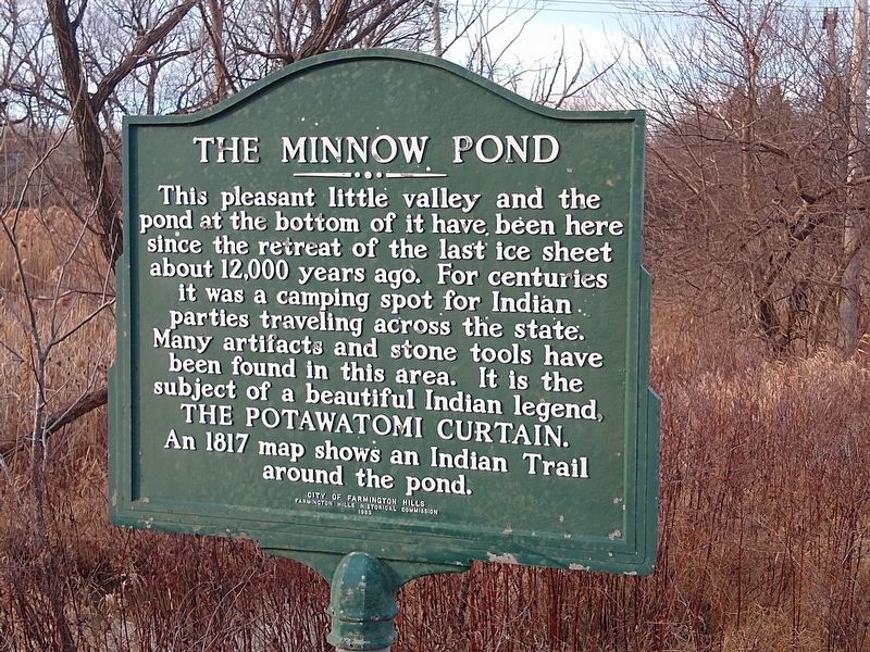
The Minnow Pond
Erected 1983 by City of Farmington Hills, Farmington Hills Historical Commission.
Topics. This historical marker is listed in these topic lists: Environment • Native Americans. A significant historical year for this entry is 1817.
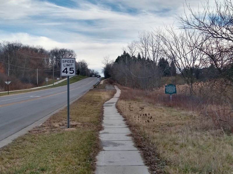
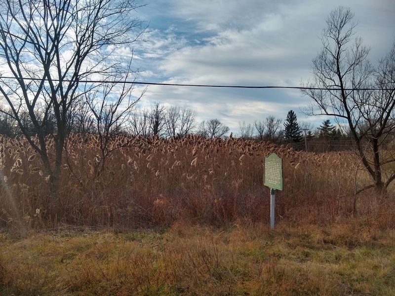
Location. 42° 31.595′ N, 83° 25.085′ W. Marker is in Farmington Hills, Michigan, in Oakland County. Marker is at the intersection of West Fourteen Mile Road and Halsted Road, on the right when traveling east on West Fourteen Mile Road. Touch for map. Marker is in this post office area: Farmington MI 48331, United States of America. Touch for directions.
Other nearby markers. At least 8 other markers are within 2 miles of this marker, measured as the crow flies. Theron Murray House (approx. 0.3 miles away); Addis Emmett Green House (approx. 0.4 miles away); Eber Durham House (approx. 1.2 miles away); John Garfield House (approx. 1.3 miles away); Boorn-Halsted House (approx. 1.7 miles away); North Farmington (approx. 2 miles away); Hamilton Jones House (approx. 2 miles away); West Farmington Cemetery (approx. 2 miles away). Touch for a list and map of all markers in Farmington Hills.
Credits. This page was last revised on December 30, 2020. It was originally submitted on December 30, 2020, by Joel Seewald of Madison Heights, Michigan. This page has been viewed 483 times since then and 100 times this year. Photos: 1, 2, 3. submitted on December 30, 2020, by Joel Seewald of Madison Heights, Michigan.


