Near Ellis Grove in Randolph County, Illinois — The American Midwest (Great Lakes)
Kaskaskia Island
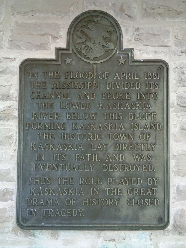
Photographed by Jason Voigt, November 30, 2020
1. Kaskaskia Island Marker
Topics. This historical marker is listed in these topic lists: Disasters • Waterways & Vessels. A significant historical year for this entry is 1881.
Location. 37° 58.131′ N, 89° 54.64′ W. Marker is near Ellis Grove, Illinois, in Randolph County. It can be reached from Park Road half a mile Shawneetown Trail (County Route 3). Marker is located at Fort Kaskaskia State Historic Site, at the shelter and Mississippi River overlook. Touch for map. Marker is at or near this postal address: 4372 Park Rd, Ellis Grove IL 62241, United States of America. Touch for directions.

Regionally, this marker is in Southern Illinois — Little Egypt. It is also in the American Midwest, in the Corn Belt, and in the Great River Road Region. Globally, it is in North America, the Western Hemisphere, the Western World,
this page online
Other nearby markers. At least 8 other markers are within walking distance of this marker: Lewis and Clark in Illinois (a few steps from this marker); Kaskaskia Village (a few steps from this marker); Fort Kaskaskia Shelter (a few steps from this marker); Dedicated in Memory of George Rogers Clark (a few steps from this marker); Garrison Hill Cemetery (about 700 feet away, measured in a direct line); Site of Fort Kaskaskia (approx. 0.4 miles away); Looking For a Few Good Men (approx. 0.4 miles away); Reily Lake (approx. half a mile away). Touch for a list and map of all markers in Ellis Grove.
Another marker is no longer nearby. Beaver Island (was a few steps from this marker but has been confirmed missing).
Also see . . . Kaskaskia, Illinois on Wikipedia. Wiki page provides lots of history about the once, thriving city and state capital of Illinois. Today, it is unincorporated and no more than twenty people live on the island. Two historic
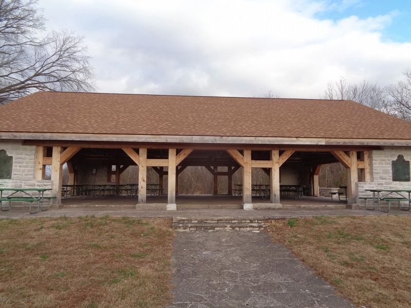
Photographed by Jason Voigt, November 30, 2020
2. Kaskaskia Island Marker
Marker is on the left, mounted on the shelter - facing the Mississippi River.
Credits. This page was last revised on December 31, 2020. It was originally submitted on December 31, 2020, by Jason Voigt of Glen Carbon, Illinois. This page has been viewed 399 times since then and 32 times this year. Photos: 1, 2. submitted on December 31, 2020, by Jason Voigt of Glen Carbon, Illinois.
