Yarnall in Carson County, Texas — The American South (West South Central)
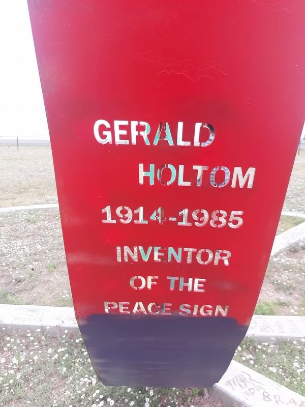
Gerald Holtom
| — | Peace Field | — |
Photographed by Craig Doda, May 11, 2020
1. Gerald Holtom Marker
1914-1985
Inventor of the Peace Sign
Topics. This historical marker is listed in these topic lists: Charity & Public Work • Civil Rights.
Location. 35° 13.283′ N, 101° 33.533′ W. Marker is in Yarnall, Texas, in Carson County. It is on I-40 Frontage Road, on the right when traveling west. The marker is on the grounds of the Peace Field. Touch for map. Marker is in this post office area: Groom TX 79039, United States of America. Touch for directions.

Regionally, this marker is on the Texas Panhandle. It is also on the American Great Plains and specifically on the Southern Plains. Globally, it is in North America, a Gulf of Mexico state, the Western Hemisphere, the Western World, and the Anglosphere. Historically, it finds itself in what was once New Spain, the Comanchería, the Dust Bowl, the Republic of Texas, and one of the Confederate States of America.
Other nearby markers. At least 8 other markers are within 9 miles of this marker, measured as the crow flies: Did You Know - Americans Killed During (within shouting distance of this marker); Town of Washburn
this page online
Photographed by Craig Doda, May 11, 2020
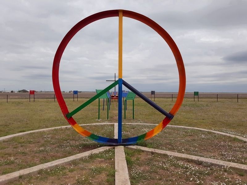
2. The Peace Sign and the Gerald Holtom Marker
Photographed by Craig Doda, May 11, 2020
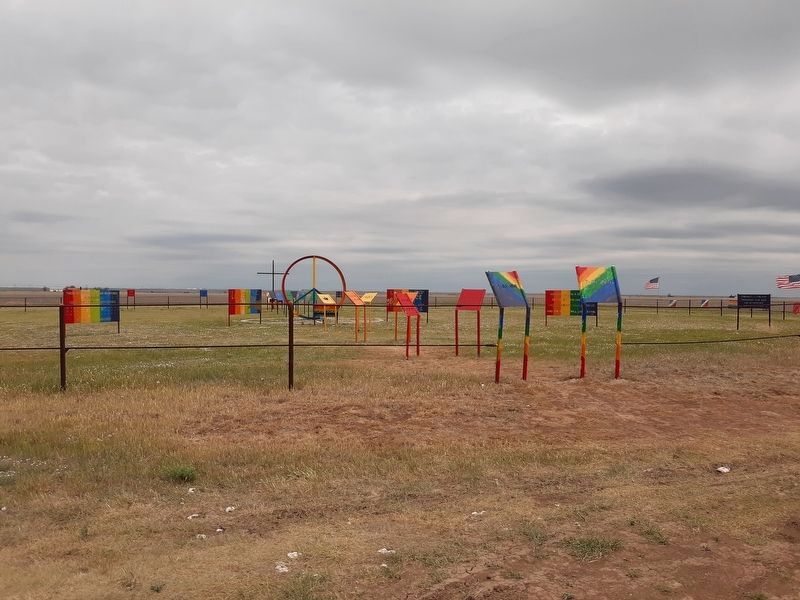
3. The Peace Field
Credits. This page was last revised on January 3, 2021. It was originally submitted on January 1, 2021, by Craig Doda of Napoleon, Ohio. This page has been viewed 367 times since then and 16 times this year. Photos: 1, 2, 3. submitted on January 1, 2021, by Craig Doda of Napoleon, Ohio. • J. Makali Bruton was the editor who published this page.
