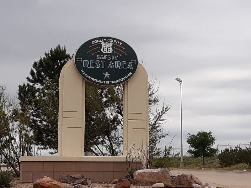
Howardwick in Donley County, Texas — The American South (West South Central)
"The Naming Of Route 66"
— Donley County Historic Route 66 Safety Rest Area —
Route 66 was pieced together from rural dirt roads, farm-to-market roads, and by connecting U.S. highways 25, 31, 52, 60, 62 and 150. The name was assigned on November 11, 1926 when state politicians discovered, after a heated debate, that the number 66 had not yet been used. Route 66 was in operation for over 50 years until the highway was officially decommissioned in 1985.
Topics. This historical marker is listed in this topic list: Roads & Vehicles. A significant historical date for this entry is November 11, 1926.
Location. 35° 10.733′ N, 100° 49.85′ W. Marker is in Howardwick, Texas, in Donley County. Marker is on U.S. Route 66 (Interstate 40), on the right when traveling east. The marker is on the grounds of the Donley County Historic Route 66 Safety Rest Area. Touch for map. Marker is in this post office area: Clarendon TX 79226, United States of America. Touch for directions.
Other nearby markers. At least 8 other markers are within walking distance of this marker. "Gateway To The Southwest" (within shouting distance of this marker); "The Dust Bowl Days" (within shouting distance of this marker); "The Convertible And The Open Road" (within shouting distance of this marker); "A Cultural Calamity" (within shouting distance of this marker); "Transportation History" (within shouting distance of this marker); "East-West Connection" (within shouting distance of this marker); "The Beginning" (within shouting distance of this marker); "Wartime Impact" (within shouting distance of this marker). Touch for a list and map of all markers in Howardwick.
Credits. This page was last revised on January 3, 2021. It was originally submitted on January 1, 2021, by Craig Doda of Napoleon, Ohio. This page has been viewed 150 times since then and 9 times this year. Photos: 1, 2. submitted on January 1, 2021, by Craig Doda of Napoleon, Ohio. • J. Makali Bruton was the editor who published this page.

