Green Hills in Nashville in Davidson County, Tennessee — The American South (East South Central)
Natchez Trace
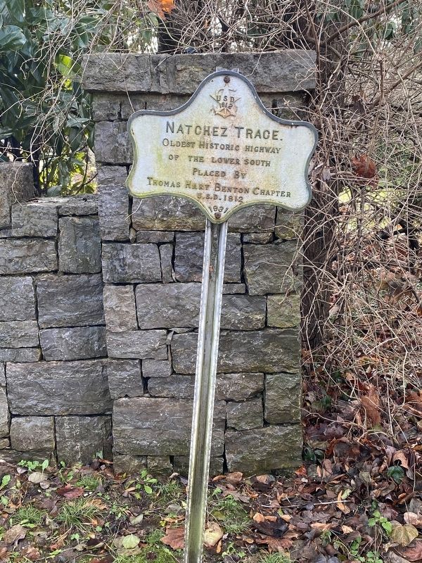
Photographed by Darren Jefferson Clay, January 1, 2021
1. Natchez Trace
Erected 1931 by Thomas Hart Benton Chapter USD 1812.
Topics and series. This historical marker is listed in this topic list: Roads & Vehicles. In addition, it is included in the United States Daughters of 1812, National Society series list.
Location. 36° 7.134′ N, 86° 49.297′ W. Marker is in Nashville, Tennessee, in Davidson County. It is in Green Hills. It is at the intersection of Golf Club Lane and New Natchez Trace, on the left when traveling west on Golf Club Lane. Touch for map. Marker is at or near this postal address: 2323 Golf Club Ln, Nashville TN 37215, United States of America. Touch for directions.

Regionally, this marker is in Middle Tennessee. It is also in the American South and specifically in the Upper South. Globally, it is in North America, the Western Hemisphere, the Western World, and the Anglosphere. Historically, it finds itself in what was once the territory of the Mississippian Culture, one of the Confederate States of America, and the Antebellum South.
Other nearby markers. At least
this page online
Another marker is no longer nearby. Battle of Nashville (was approx. 0.8 miles away but has been confirmed missing).
Also see . . . Natchez Trace Parkway. A Drive through 10,000 Years of History. The Natchez Trace Parkway is a 444-mile recreational road and scenic drive through three states. It roughly follows the "Old Natchez Trace" a historic travel corridor used by American Indians, "Kaintucks," European settlers, slave traders, soldiers, and future presidents. Today, people can enjoy not only a scenic drive but also hiking, biking, horseback riding, and camping along the parkway.
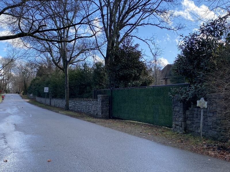
Photographed by Darren Jefferson Clay, January 1, 2021
2. Natchez Trace
Credits. This page was last revised on February 7, 2023. It was originally submitted on January 2, 2021, by Darren Jefferson Clay of Duluth, Georgia. This page has been viewed 400 times since then and 51 times this year. Photos: 1, 2. submitted on January 2, 2021, by Darren Jefferson Clay of Duluth, Georgia. • Devry Becker Jones was the editor who published this page.
