Howardwick in Donley County, Texas — The American South (West South Central)
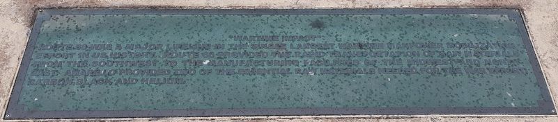
"Wartime Impact"
| — | Donley County Historic Route 66 Safety Rest Area | — |
Photographed by Craig Doda, May 11, 2020
1. "Wartime Impact" Marker
Route 66 was a major lifeline in the single largest wartime manpower mobilization effort in US history. Route 66 provided the rapid transportation of raw materials from the Southwest to the manufacturing facilities of the Midwest and Northeast. Amarillo provided two of the essential raw materials needed for the war efforts, carbon black and helium.
Topics. This historical marker is listed in these topic lists: Roads & Vehicles • War, World II.
Location. 35° 10.728′ N, 100° 49.801′ W. Marker is in Howardwick, Texas, in Donley County. It is on U.S. Route 66 (Interstate 40), on the right when traveling east. The marker is on the grounds of the Donley County Historic Route 66 Safety Rest Area. Touch for map. Marker is in this post office area: Clarendon TX 79226, United States of America. Touch for directions.

Regionally, this marker is on the Texas Panhandle. It is also on the American Great Plains and specifically on the Southern Plains. Globally, it is in North America, a Gulf of Mexico state, the Western Hemisphere, the Western World, and the Anglosphere.
this page online
Other nearby markers. At least 8 other markers are within walking distance of this marker: "The Bunion Derby" (here, next to this marker); "Crossing The Native American Nations" (a few steps from this marker); "The Dust Bowl Days" (within shouting distance of this marker); "Transportation History" (within shouting distance of this marker); "The Convertible And The Open Road" (within shouting distance of this marker); "A Cultural Calamity" (within shouting distance of this marker); "East-West Connection" (within shouting distance of this marker); "The Beginning" (within shouting distance of this marker). Touch for a list and map of all markers in Howardwick.
Photographed by Craig Doda, May 11, 2020
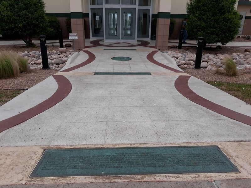
2. "Wartime Impact" Marker, in the distance
Photographed by Craig Doda, May 11, 2020
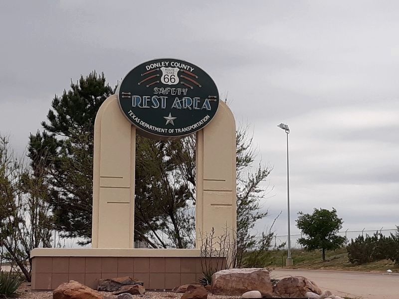
3. Donley County Historic Route 66 Safety Rest Area Sign
Credits. This page was last revised on January 3, 2021. It was originally submitted on January 2, 2021, by Craig Doda of Napoleon, Ohio. This page has been viewed 246 times since then and 12 times this year. Photos: 1, 2, 3. submitted on January 2, 2021, by Craig Doda of Napoleon, Ohio. • J. Makali Bruton was the editor who published this page.
