Welcome To Menard
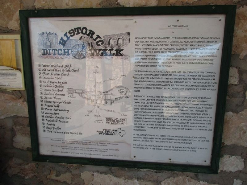
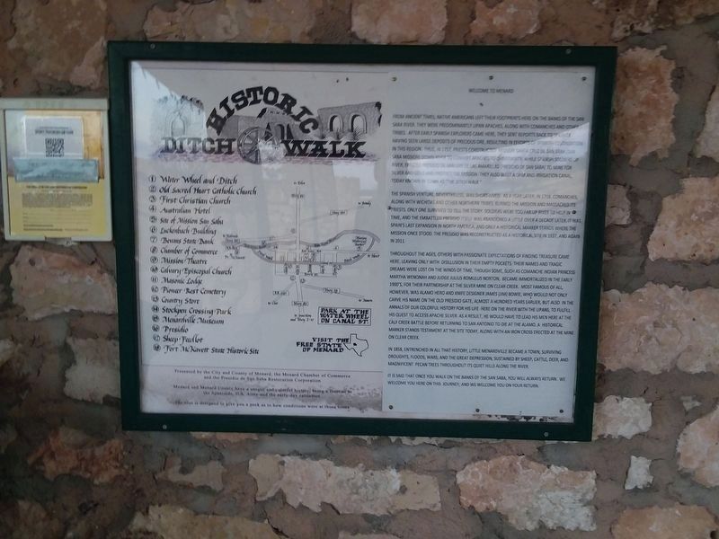
From ancient times, Native Americans left their footprints here on the banks of the San Saba River. They were predominantly Lipan Apaches, along with Comanches and other tribes. After early Spanish explorers came here, they sent reports back to Spain of having seen large deposits of precious ore, resulting in efforts of Spanish colonization in this region. Thus, in 1757, priests construct Mission Santa Cruz de San Saba (San Saba Mission) down river to convert Apaches to Christianity, while Spanish soldiers up river, erected Presidio de San Luis de Las Amarillas (Presidio de San Saba) to mine for silver and gold and protect the mission they also built a dam and irrigation canal, today known in town as the "Ditch Walk."
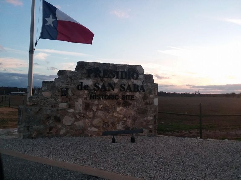
The Spanish venture, nevertheless, was short-lived, as a year later in 1758, Comanches, along with Wichitas and other northern tribes, burned the mission and massacred its priests. Only one survived to tell the story. Soldiers were too far up river to help in time, and the embattled Presidio itself was abandoned a little over a decade later. It was Spain's last expansion in North America, and only a historical marker stands where the mission once stood. The Presidio was reconstructed as a historical site in 1937, and again in 2011.
Throughout the ages, others with passionate expectations of finding
treasure came here, leaving only with disillusion in their empty pockets. Their names and tragic dreams were lost on the winds of time, though some, such as Comanche Indian princess Martha Wenonah and Judge Julius Romulus Norton, became immortalized in the early 1900's, for their partnership at the silver mine on Clear Creek. Most famous of all, however, was Alamo hero and knife designer James (Jim) Bowie, who would not only carve his name on the old Presidio gate, almost a hundred years earlier, but also in the annals of our colorful history for his life here on the river with the Lipans, to fulfill his quest to access Apache silver. As a result, he would have to lead his men here at the Calf Creek Battle before returning to San Antonio to die at the Alamo. A historical marker stands testament at the site today, along with an iron cross erected at the mine on Clear Creek.In 1858, entrenched in all that history, Little Menardville became a town, surviving droughts, floods, wars, and the great depression, sustained by sheep, cattle, deer, and magnificent pecan trees throughout its quiet hills along the river.
It is said that once you walk on the banks of the San Saba, you will always return we
welcome you here on this journey, and we welcome you on your return.
Topics. This historical marker is listed in these topic lists: Colonial Era
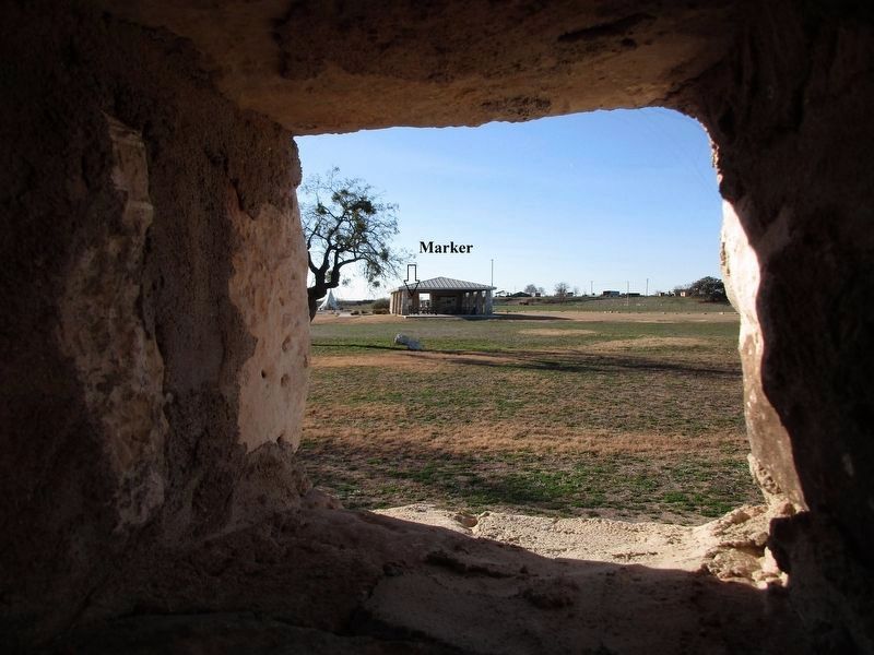
Location. 30° 55.367′ N, 99° 48.167′ W. Marker is in Menard, Texas, in Menard County. Marker is on Presidio Road, on the left when traveling south. The marker is on the grounds of the Presidio de San Saba County Park. Touch for map. Marker is in this post office area: Menard TX 76859, United States of America. Touch for directions.
Other nearby markers. At least 8 other markers are within walking distance of this marker. Turning Point for Spain in Texas (here, next to this marker); Presidio de San Sabá (within shouting distance of this marker); NW Bastion (within shouting distance of this marker); VIP Quarters (about 300 feet away, measured in a direct line); Livestock Corral (about 300 feet away); Restoration and Reconstruction (about 400 feet away); Real Presidio de San Saba (about 400 feet away); Plaza (about 500 feet away). Touch for a list and map of all markers in Menard.
Credits. This page was last revised on January 8, 2024. It was originally submitted on January 3, 2021, by Craig Doda of Napoleon, Ohio. This page has been viewed 236 times since then and 34 times this year. Photos: 1. submitted on January 8, 2024, by Jeff Leichsenring of Garland, Texas. 2, 3. submitted on January 3, 2021, by Craig Doda of Napoleon, Ohio. 4. submitted on January 8, 2024, by Jeff Leichsenring of Garland, Texas. • J. Makali Bruton was the editor who published this page.


