Before the Wagons
The bluffs as a landmark and lookout
— Scotts Bluff National Monument, National Park Service, U.S. Department of the Interior —
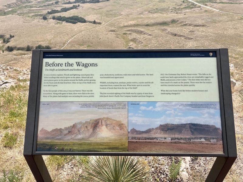
It was a treeless expanse. Floods and lightning caused grass fires killed seedlings that tried to grow on the prairie around the bluffs, perfect grazing for the bison and elk that lived here. Only on top of the bluffs were trees able to grow.
To the first people of this area, it was not barren. There was life everywhere. Along with game to hunt, there were fish in the river. Many of the plants had multiple uses including the yucca, prickly pear, chokecherry, sunflower, wild onion, and wild licorice. The land was bountiful and appreciated.
Wildlife, including bear, antelope, prairie wolves, coyotes, and the all-important bison, roamed the area. What better spot to scout the location of herds than from the top of the bluff?
The first recorded sighting of the bluffs was a party of men from John Jacob Astor’s Pacific Fur Company headed east from Oregon in 1812. On Christmas Day, Robert Stewart wrote: “The hills on the south have lately approached the river, are remarkably rugged and Bluffy, and possess a few Cedars.” The first white men did not leave much of a mark on the prairie. There were few fur traders and they traveled across the plains quickly.
What did your home look like before modern houses and landscaping changed it?
[Captions:]
Circa 1837: In 1837 Alfred Jacob Miller
traveled to the fur trade rendezvous in Wyoming and stopped to sketch
Scotts Bluff. Later he turned the sketch into a watercolor painting.
Modern Day: Modern day Scotts Bluff from the same angle as the Miller painting. The
photo shows how the plains around the bluff have changed, but the bluff is
remarkably similar to what the first white men
Erected by National Park Service, U.S. Department of the Interior.
Topics. This historical marker is listed in these topic lists: Environment • Industry & Commerce • Parks & Recreational Areas • Settlements & Settlers. A significant historical year for this entry is 1812.
Location. 41° 50.09′ N, 103° 41.978′ W. Marker is near Gering, Nebraska, in Scotts Bluff County. Marker can be reached from Old Oregon Road (County Road K) 3 miles west of Meadowlark Boulevard, on the right when traveling west. Touch for map. Marker is at or near this postal address: 190276 Old Oregon Road, Gering NE 69341, United States of America. Touch for directions.
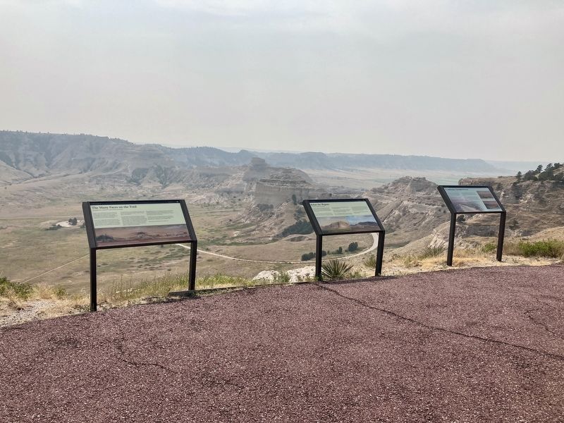
Other nearby markers. At least 8 other markers are within walking distance of this marker. The Many Faces of the Trail (here, next to this marker); A Landscape Changed Forever (here, next to this marker); Remnant Highlands (within shouting distance of this marker); A Landmark for the Ages (approx. 0.2 miles away); Saddle Rock Trail
Credits. This page was last revised on January 6, 2021. It was originally submitted on January 5, 2021, by Connor Olson of Kewaskum, Wisconsin. This page has been viewed 153 times since then and 14 times this year. Photos: 1, 2. submitted on January 5, 2021, by Connor Olson of Kewaskum, Wisconsin. • Devry Becker Jones was the editor who published this page.

