Greenville in Hunt County, Texas — The American South (West South Central)
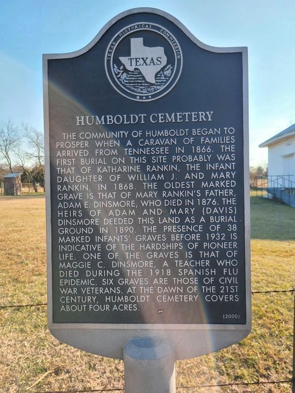
Humboldt Cemetery
The community of Humboldt began to prosper when a caravan of families arrived from Tennessee in 1866. The first burial on this site probably was that of Katharine Rankin, the infant daughter of William J. and Mary Rankin, in 1868. The oldest marked grave is that of Mary Rankin's father, Adam E. Dinsmore, who died in 1876. The heirs of Adam and Mary (Davis) Dinsmore deeded this land as a burial ground in 1890. The presence of 38 marked infants' graves before 1932 is indicative of the hardships of pioneer life. One of the graves is that of Maggie C. Dinsmore, a teacher who died during the 1918 Spanish flu epidemic. Six graves are those of Civil War veterans. At the dawn of the 21st century, Humboldt Cemetery covers about four acres.
Erected 2000 by Texas Historical Commission. (Marker Number 11682.)
Topics. This historical marker is listed in this topic list: Cemeteries & Burial Sites. A significant historical year for this entry is 1866.
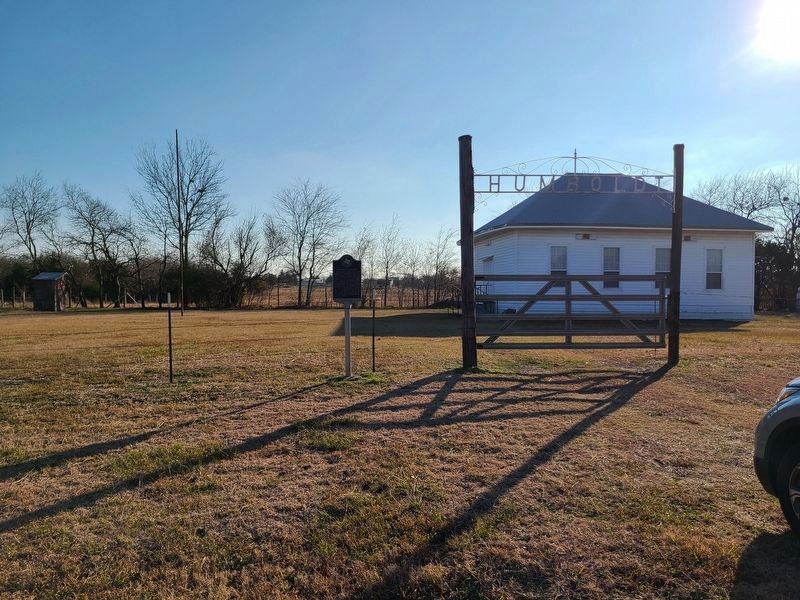
Location. 33° 10.734′ N, 95° 59.224′ W. Marker is in Greenville, Texas, in Hunt County. Marker is at the intersection of Farm to Market Road 2736 and Highway 4110, on the right when traveling east on Farm to Market Road 2736. Touch for map. Marker is in this post office area: Greenville TX 75401, United States of America. Touch for directions.
Other nearby markers. At least 8 other markers are within 7 miles of this marker, measured as the crow flies. Shady Grove Community (approx. 3.3 miles away); Centennial of Methodism in Commerce (approx. 6.2 miles away); East Texas State University (approx. 6.4 miles away); President’s House (approx. 6˝ miles away); Birthplace of Maj. Gen. Claire L. Chennault (approx. 6.8 miles away); Site of Commerce Churches (approx. 6.8 miles away); John T. Knight (approx. 6.9 miles away); First Presbyterian Church of Commerce (approx. 6.9 miles away).
Credits. This page was last revised on January 10, 2021. It was originally submitted on January 9, 2021, by Jesse Nelsen of Farmersville, Texas. This page has been viewed 189 times since then and 23 times this year. Photos: 1, 2. submitted on January 9, 2021, by Jesse Nelsen of Farmersville, Texas. • J. Makali Bruton was the editor who published this page.

