Pillory
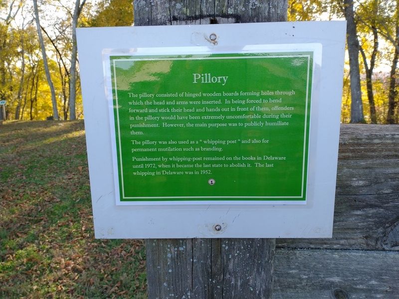
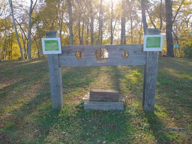
The pillory consisted of hinged wooden boards forming holes through which the head and arms were inserted. In being forced to bed forward and stick their head and hands out in front of them, offenders in the pillory would have been extremely uncomfortable during their punishment. However, the main purpose was to publicly humiliate them.
The pillory was also used as a "whipping post" and also for permanent mutilation such as branding.
Punishment by whipping-post remained on the books in Delaware until 1972, when it became the last state to abolish it. The last whipping in Delaware was in 1952.
Topics. This historical marker is listed in these topic lists: Forts and Castles • Law Enforcement. A significant historical year for this entry is 1972.
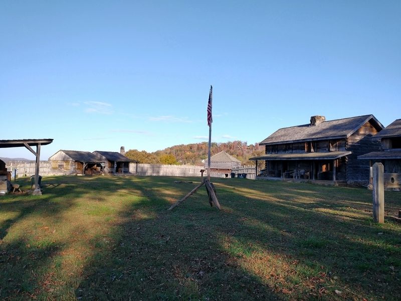
Location. 35° 51.642′ N, 84° 31.758′ W. Marker is in Kingston, Tennessee, in Roane County. Marker can be reached from South Kentucky Street (State Highway 58) north of Shannon Place, on the left when traveling north. Marker is located within Fort Southwest Point. Touch for map. Marker is at or near this postal address: 1226 S Kentucky St, Kingston TN 37763, United States of America. Touch for directions.
Other nearby markers. At least 8 other markers are within walking distance of this marker. Command and Administrative Building #3 (here, next to this marker); Court Martial of Private Abraham Setts (here, next to this marker); Soldier’s Barracks w/ Cellar #14
Credits. This page was last revised on January 12, 2021. It was originally submitted on January 10, 2021, by Tom Bosse of Jefferson City, Tennessee. This page has been viewed 139 times since then and 12 times this year. Photos: 1, 2, 3. submitted on January 10, 2021, by Tom Bosse of Jefferson City, Tennessee. • Devry Becker Jones was the editor who published this page.


