
Rosebud in Rosebud County, Montana — The American West (Mountains)
Rosebud
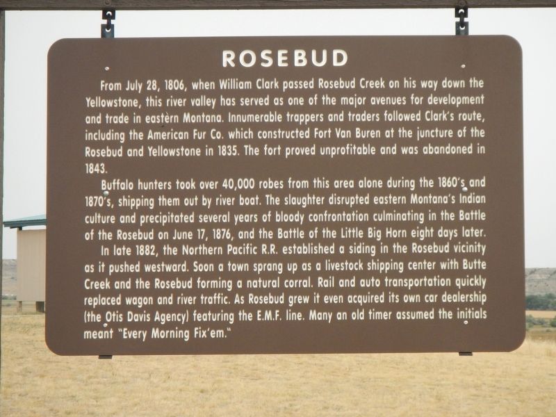
Photographed by Barry Swackhamer, September 13, 2020
1. Rosebud Marker
Buffalo hunters took over 40,000 robes from this area alone during the 1860's and 1870's, shipping them out by riverboat. The slaughter disrupted eastern Montana's Indian culture and precipitated several years of bloody confrontation culminating in the Battle of the Rosebud on June 17, 1876, and the Battle of the Little Big Horn eight days later.
In late 1882, the Northern Pacific R.R. established a siding in the Rosebud vicinity as it pushed westward. Soon a town sprang up as a livestock shipping center with Butte Creek and the Rosebud forming a natural corral. Rails and auto transportation quickly replaced wagon and river traffic. As Rosebud grew it even acquired its own car dealership (the Otis
this page online
Erected by Montana Department of Transportation.
Topics. This historical marker is listed in these topic lists: Exploration • Industry & Commerce • Wars, US Indian. A significant historical date for this entry is June 17, 1876.
Location. 46° 16.156′ N, 106° 18.369′ W. Marker is in Rosebud, Montana, in Rosebud County. It can be reached from Interstate 94 at milepost 117 near Graveyard Creek Road, on the right when traveling west. The marker is located at the Hathaway Rest Area Westbound. Touch for map. Marker is in this post office area: Rosebud MT 59347, United States of America. Touch for directions.

Regionally, this marker is in Southeast Montana, in Custer Country and in the Powder River Basin. It is also in the American Mountain West, in the Lewis & Clark Corridor, on the prairies, on the Great Plains, and specifically on the Northern Plains. Globally, it is in North America, the Western Hemisphere, the Western World, and the Anglosphere. Historically, it finds itself in what was once Rupert’s Land and
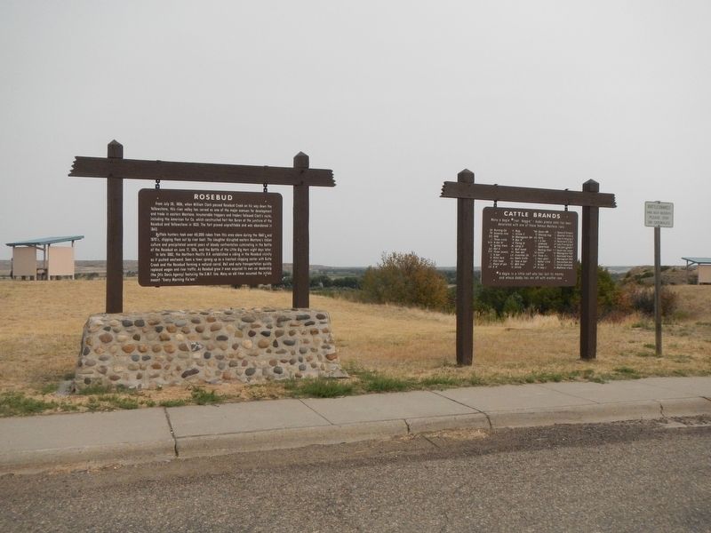
Photographed by Barry Swackhamer, September 13, 2020
2. Rosebud Marker
Marker on the left.
Other nearby markers. At least 8 other markers are within 9 miles of this marker, measured as the crow flies: Cattle Brands (here, next to this marker); Join the Voyage of Discovery (within shouting distance of this marker); The Hell Creek Formation (within shouting distance of this marker); The Miles City Air Force Station (approx. 1.4 miles away); Scouting South of the Yellowstone (approx. 5.8 miles away); St. Philip's Episcopal Church (approx. 6.4 miles away); The Seventh Passes in Review (approx. 6.6 miles away); Rosebud Creek (approx. 8.1 miles away). Touch for a list and map of all markers in Rosebud.
Credits. This page was last revised on January 10, 2021. It was originally submitted on January 10, 2021, by Barry Swackhamer of Brentwood, California. This page has been viewed 702 times since then and 88 times this year. Photos: 1, 2. submitted on January 10, 2021, by Barry Swackhamer of Brentwood, California.
