
Near Hathaway in Rosebud County, Montana — The American West (Mountains)
The Miles City Air Force Station
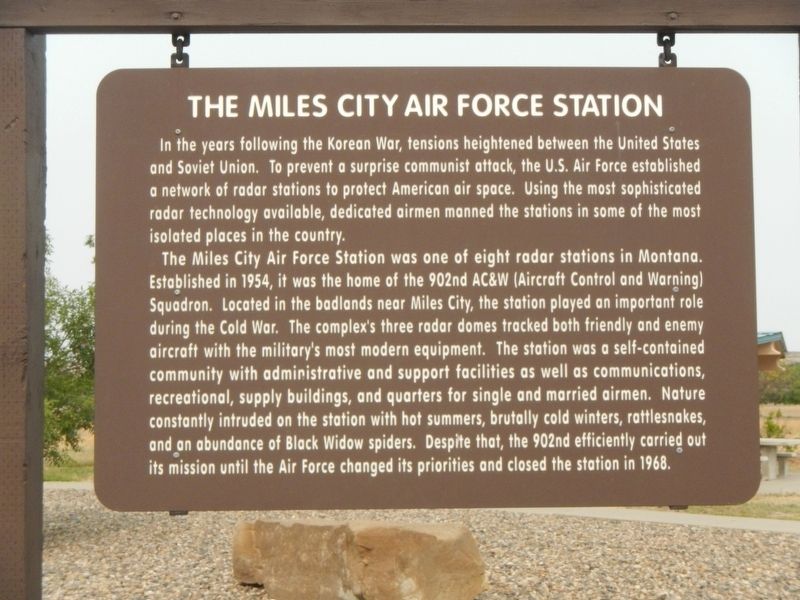
Photographed by Barry Swackhamer, September 13, 2020
1. The Miles City Air Force Station Marker
The Miles City Air Force Station was one of eight radar stations in Montana. Established in 1954, it was the home of the 902nd AC&W (Aircraft Control and Warning) Squadron. Located in the badlands near Miles City, the station played an important role during the Cold War. The complex's three radar domes tracked both friendly and enemy aircraft with the military's most modern equipment. The station was a self-contained community with administrative and support facilities as well as communications, recreational, supply buildings, and quarters for single and married airmen. Nature constantly intruded on the station with hot summers, brutally cold winters, rattlesnakes, and an abundance of Black Widow spiders. Despite that, the 902nd efficiently carried
this page online
Erected by Montana Department of Transportation.
Topics. This historical marker is listed in this topic list: War, Cold. A significant historical year for this entry is 1954.
Location. 46° 15.672′ N, 106° 16.752′ W. Marker is near Hathaway, Montana, in Rosebud County. It can be reached from Interstate 94 at milepost 117 near Graveyard Creek Road, on the right when traveling east. The marker is located at the Hathaway Rest Area Eastbound. Touch for map. Marker is in this post office area: Hathaway MT 59333, United States of America. Touch for directions.

Regionally, this marker is in Southeast Montana, in Custer Country and in the Powder River Basin. It is also in the American Mountain West, in the Lewis & Clark Corridor, on the prairies, on the Great Plains, and specifically on the Northern Plains. Globally, it is in North America, the Western Hemisphere, the Western World, and the Anglosphere. Historically, it finds itself in what was once Rupert’s Land and also the Louisiana Purchase.
Other nearby markers. At least 8 other
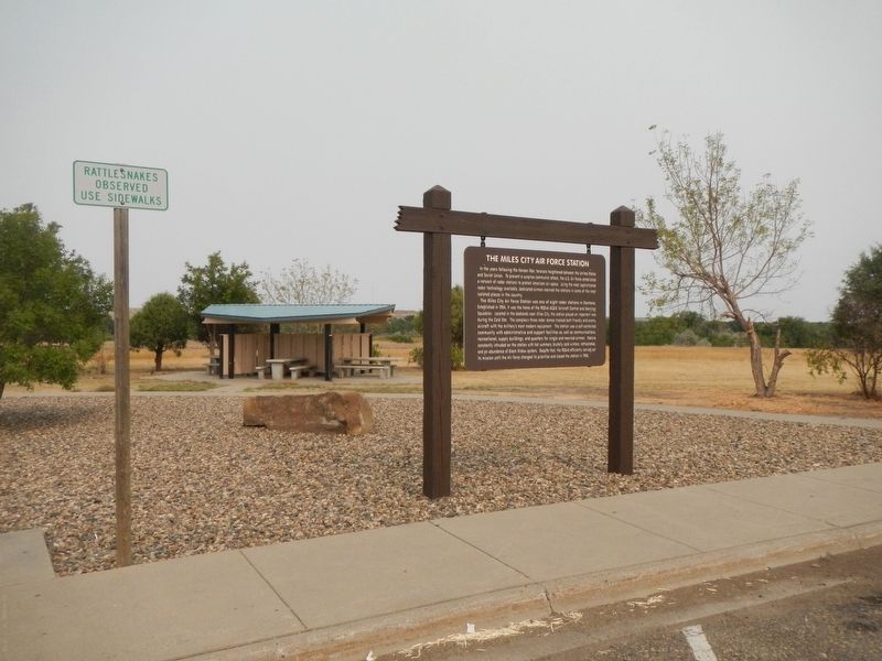
Photographed by Barry Swackhamer, September 13, 2020
2. The Miles City Air Force Station Marker
Credits. This page was last revised on May 3, 2023. It was originally submitted on January 12, 2021, by Barry Swackhamer of Brentwood, California. This page has been viewed 1,588 times since then and 187 times this year. Photos: 1, 2. submitted on January 12, 2021, by Barry Swackhamer of Brentwood, California.
