West Columbia in Brazoria County, Texas — The American South (West South Central)
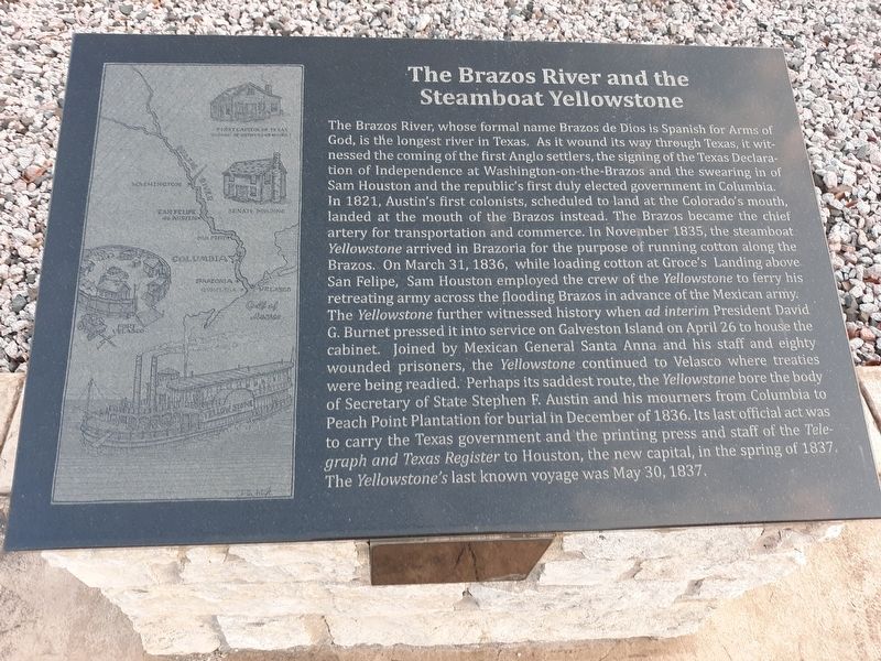
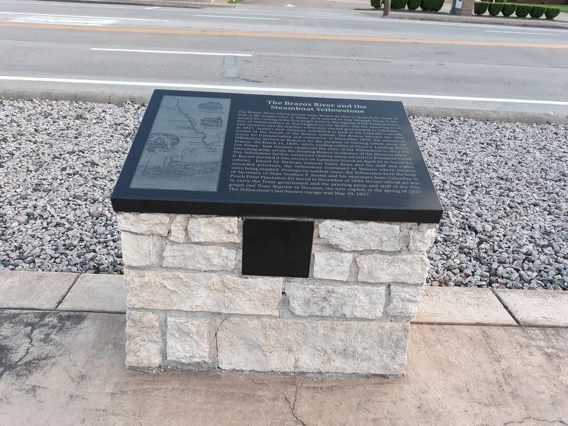
The Brazos River and the Steamboat Yellowstone
The Brazos River, whose formal name Brazos de Dios is Spanish for Arms of God, is the longest river in Texas. As it wound its way through Texas, it witnessed the coming of the first Anglo settlers, the signing of the Texas Declaration of Independence at Washington-on-the-Brazos and the swearing in of Sam Houston and the republic's first duly elected government in Columbia. In 1821, Austin's first colonists, scheduled to land at the Colorado's mouth, landed at the mouth of the Brazos instead. The Brazos became the chief artery for transportation and commerce. In November 1835, the steamboat. Yellowstone arrived in Brazoria for the purpose of running cotton along the Brazos. On March 31, 1836, while loading cotton at Groce's Landing above San Felipe, Sam Houston employed the crew of the Yellowstone to ferry his retreating army across the flooding Brazos in advance of the Mexican army. The Yellowstone further witnessed history when ad interim President David G. Burnet pressed it into service on Galveston Island on April 26 to house the cabinet. Joined by Mexican General Santa Anna and his staff and eighty wounded prisoners, the Yellowstone continued to Velasco where treaties were being readied. Perhaps its saddest route, the Yellowstone bore the body of Secretary of State Stephen F. Austin and his mourners from Columbia to Peach Point Plantation for burial in December of 1836. Its last official act was to carry the Texas government and the printing press and staff of the Telegraph and Texas Register to Houston, the new capital, in the spring of 1837. The Yellowstone's last known voyage was May 30, 1837.
Topics. This historical marker is listed in these topic lists: War, Texas Independence • Waterways & Vessels. A significant historical date for this entry is March 31, 1836.
Location. 29° 8.672′ N, 95° 38.828′ W. Marker is in West Columbia, Texas, in Brazoria County. Marker is on East Brazos Avenue (State Highway 35) west of North 16th Street, on the right when traveling west. Touch for map. Marker is in this post office area: West Columbia TX 77486, United States of America. Touch for directions.
Other nearby markers. At least 8 other markers are within walking distance of this marker. Columbia in 1836 (here, next to this marker); Stephen Fuller Austin (here, next to this marker); Masons of the Republic of Texas (here, next to this marker); From Republic to Statehood (a few steps from this marker); The Capitol Oak (a few steps from this marker); Religion in the New Capital (a few steps from this marker); Accomplishments of the First Congress (within shouting distance of this marker); Telegraph and Texas Register (within shouting distance of this marker). Touch for a list and map of all markers in West Columbia.
Credits. This page was last revised on January 16, 2021. It was originally submitted on January 13, 2021, by Craig Doda of Napoleon, Ohio. This page has been viewed 371 times since then and 47 times this year. Photos: 1, 2, 3, 4. submitted on January 13, 2021, by Craig Doda of Napoleon, Ohio. • J. Makali Bruton was the editor who published this page.


