Near Ekalaka in Carter County, Montana — The American West (Mountains)
A River Ran Through It
Inscription.
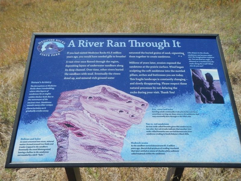
If you had visited Medicine Rocks 61.5 million years ago, you would have needed gills to breathe!
A vast river once flowed through the regions, depositing layers of underwater sandbars along its deep channel. Over tine, other rivers buried the sandbars with mud. Eventually the rivers dried up, and mineral-rich ground water saturated the buried gains of sand, cementing them together to create sandstone.
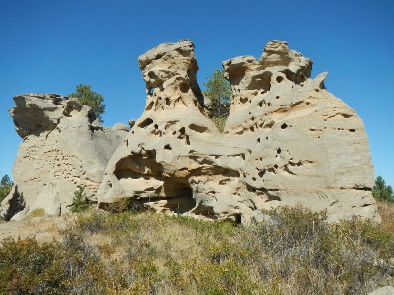
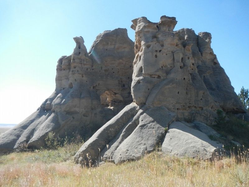
Millions of years later, erosion exposed the sandstone at the prairie surface. Wind began sculpting the soft sandstone into the mottled pillars, arches and buttresses you see today. This fragile landscape is constantly changing - and slowly disappearing. Please respect these natural processes by not defacing the rocks during your visit. Thank You!
Nature's Artistry
The formations at Medicine Rocks show cross bedding, where thin layers of sandstone lie at angles within thicker beds due to the movement of the ancient river. Sandstone reveals many other unique characteristics as it gradually erodes away.
Hollows and halos
As sand cemented into stone, mineral matter formed around tree limbs and trunks trapped in the sandbars. Eventually the wood disintegrated, leaving a hollow in the sandstone surrounded by a dark "halo."
Pits, caves and holes
Swirling winds continually erode pits in the rock faces, sometimes carving out deep caves in the sandstone that may eventually bore through to the other side.
Tan vs. red sandstone
An iron oxide called limonite gives this sandstone its tan color, but red streaks indicate that another iron oxide called hematite was carried downstream from sandstone eroding in South Dakota's Black Hills.
Mudrock seams
As the sandbars moved downstream 61.5 million years ago, they picked up pieces of eroding riverbank that later settled as seams of chunky white sediment called mudrock within the sandstone.
Erected by Medicine Rocks State Park.
Topics. This historical marker is listed in this topic list: Natural Features.
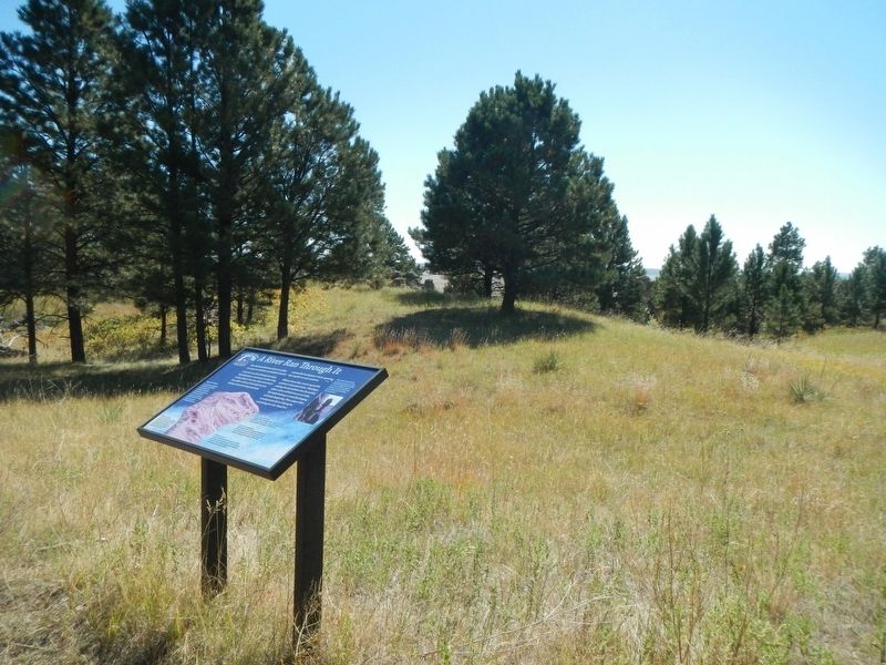
Location. 46° 2.496′ N, 104° 28.04′ W. Marker is near Ekalaka, Montana, in Carter County. Marker can be reached from Park Entrance Road near State Highway 7. The marker is on the Dalton Trail in Medicine Rocks State Park. Touch for map. Marker is in this post office area: Ekalaka MT 59324, United States of America. Touch for directions.
Other nearby markers. At least 7 other markers are within 12 miles of this marker, measured as the crow flies. Home on the Range (about 700 feet away, measured in a direct line); Prairie Island (approx. 0.4 miles away); Inyan Oka-lo-ka / Medicine Rocks State Park (approx. half a mile away); A Fantastically Beautiful Place: The Medicine Rocks (approx. half a mile away); Inyan-oka-la-ka (approx. 0.6 miles away); Ekalaka (approx. 10.1 miles away); First National Bank of Ekalaka / Rickard Hardware Building (approx. 11.2 miles away).
Credits. This page was last revised on January 13, 2021. It was originally submitted on January 13, 2021, by Barry Swackhamer of Brentwood, California. This page has been viewed 106 times since then and 8 times this year. Photos: 1, 2, 3, 4. submitted on January 13, 2021, by Barry Swackhamer of Brentwood, California.


