Near Calvert in Robertson County, Texas — The American South (West South Central)
Site of Harvey Massacre
(One Mile West)
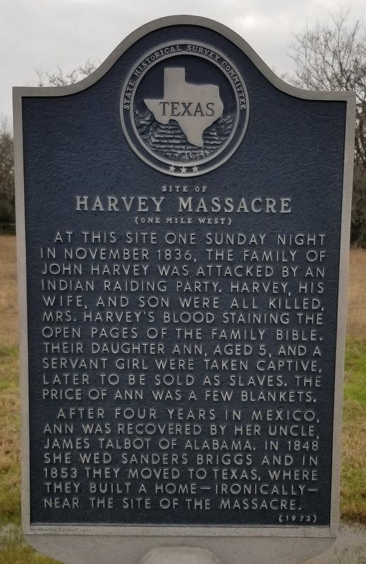
Photographed by James Hulse, January 8, 2021
1. Site of Harvey Massacre Marker
At this site one Sunday night in November 1836, the family of John Harvey was attacked by an Indian raiding party. Harvey, his wife, and son were all killed, Mrs. Harvey's blood staining the open pages of the family Bible. Their daughter Ann, aged 5, and a servant girl were taken captive, later to be sold as slaves. The price of Ann was a few blankets.
After four years in Mexico, Ann was recovered by her uncle, James Talbot of Alabama. In 1848 she wed Sanders Briggs and in 1853 they moved to Texas, where they built a home - ironically - near the site of the massacre.
Erected 1972 by State Historical Survey Committee. (Marker Number 10918.)
Topics. This historical marker is listed in these topic lists: Settlements & Settlers • Wars, US Indian. A significant historical month for this entry is November 1836.
Location. 31° 2.861′ N, 96° 42.663′ W. Marker is near Calvert, Texas, in Robertson County. It is on State Highway 6 one mile north of South Tidwell Prairie Road, on the left when traveling north. Touch for map. Marker is in this post office area: Calvert TX 77837, United States of America. Touch for directions.

Regionally, this marker is in the Prairies & Lakes Region. It is also in the American South. Globally, it is in North America, a Gulf of Mexico state, the Western Hemisphere, the Western World, and the Anglosphere. Historically, it finds itself in what was once New Spain, the Republic of Texas, one of the Confederate States of America, and the Antebellum South.
Other nearby markers. At least 8 other markers are within 6 miles of this marker, measured as the crow flies: Site of Extinct Town of Hammond (approx. 3.3 miles away); Sterling Cemetery (approx. 4.4 miles away); St. Paul United Methodist Church (approx. 5 miles away); First Presbyterian Church (approx. 5.1 miles away); The Barton Home
this page online
Also see . . . Texas-Indian War. The Comanche were known as fierce warriors, with a reputation for looting, burning, murdering, and kidnapping as far south as Mexico City. When Sul Ross rescued Cynthia Ann Parker at Pease River, he observed that this event would be felt in every family in Texas, as every one had lost someone in the Indian Wars. Source: Wikipedia (Submitted on January 14, 2021, by James Hulse of Medina, Texas.)
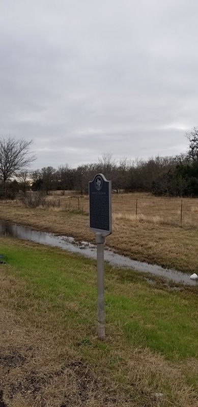
Photographed by James Hulse, January 8, 2021
2. Site of Harvey Massacre Marker
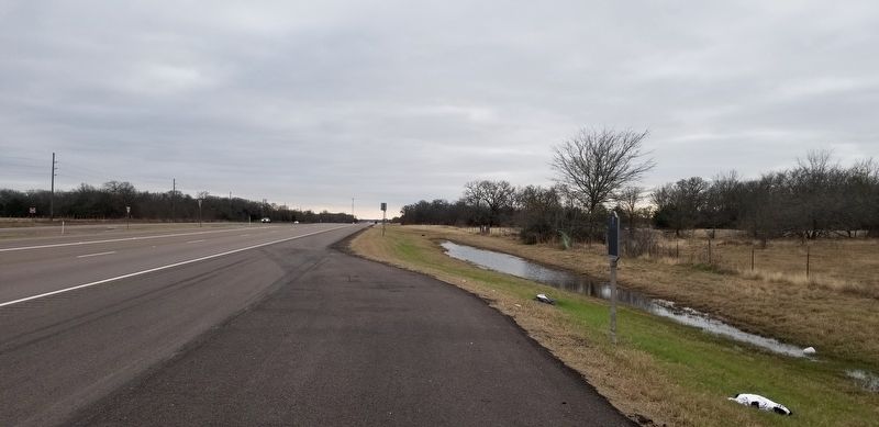
Photographed by James Hulse, January 8, 2021
3. The view of the Site of Harvey Massacre Marker from the road
Credits. This page was last revised on January 14, 2021. It was originally submitted on January 14, 2021, by James Hulse of Medina, Texas. This page has been viewed 7,937 times since then and 763 times this year. Photos: 1, 2, 3. submitted on January 14, 2021, by James Hulse of Medina, Texas. • J. Makali Bruton was the editor who published this page.
