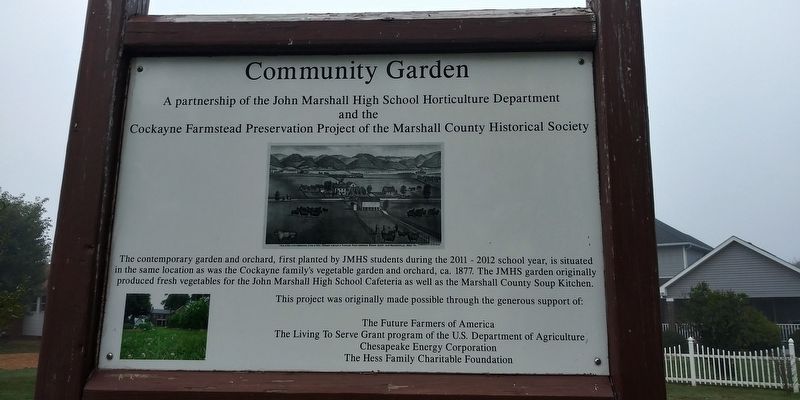
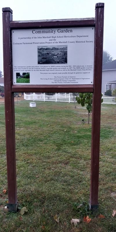
Community Garden
A partnership of the John Marshall High School Horticulture Department and the Cockayne Farmstead Preservation Project of the Marshall County Historical Society.
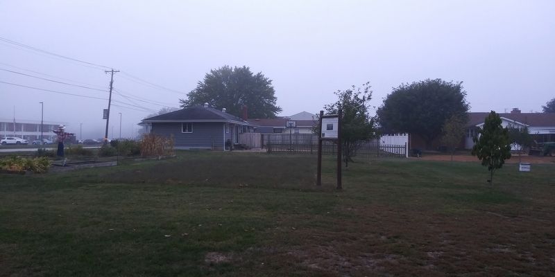
The contemporary garden and orchard, first planted by JMHS students during the 2011 - 2012 school year, is situated in the same location as was the Cockayne family's vegetable garden and orchard, ca. 1877. The JMHS garden originally produced fresh vegetables for the John Marshall High School Cafeteria as well as the Marshall County Soup Kitchen.
Erected by The Future Farmers Of America.
Topics. This historical marker is listed in these topic lists: Agriculture • Education • Horticulture & Forestry. A significant historical year for this entry is 2011.
Location. 39° 56.533′ N, 80° 45.283′ W. Marker is in Glen Dale, West Virginia, in Marshall County. Marker is on Wheeling Avenue (U.S. 250) 0.1 miles north of 13th Street, on the left when traveling north. Touch for map. Marker is at or near this postal address: 310 13th St, Glen Dale WV 26038, United States of America. Touch for directions.
Other nearby markers. At least 8 other markers are within 2 miles of this marker, measured as the crow flies. Cockayne Privy (within shouting distance of this marker); Native American Earthen Mound (within shouting distance of this marker); Bennett Cockane House
Credits. This page was last revised on January 15, 2021. It was originally submitted on January 15, 2021, by Craig Doda of Napoleon, Ohio. This page has been viewed 101 times since then and 13 times this year. Photos: 1, 2, 3. submitted on January 15, 2021, by Craig Doda of Napoleon, Ohio. • Devry Becker Jones was the editor who published this page.


