Ferris in Ellis County, Texas — The American South (West South Central)
City of Ferris
Photographed by James Hulse, January 11, 2021
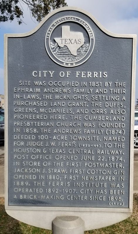
1. City of Ferris Marker
Site was occupied in 1851 by the Ephraim Andrews family and their in-laws, the McKnights, settling a purchased land grant. The Duffs, Greens, McDaniels, and Orrs also pioneered here. The Cumberland Presbyterian Church was founded in 1858. The Andrews family (1874) deeded 100-acre townsite, named for Judge J.W. Ferris (1823-99), to the Houston & Texas Central Railway. Post office opened June 22, 1874, in store of the first Postmaster, Jackson J. Straw. First cotton gin opened in 1880; first newspaper in 1889. The Ferris Institute was operated 1892-1907. City has been a brick-making center since 1895.
Erected 1974 by Texas Historical Commission. (Marker Number 7099.)
Topics. This historical marker is listed in these topic lists: Industry & Commerce • Railroads & Streetcars • Religion & Religious Structures • Settlements & Settlers. A significant historical date for this entry is June 22, 1874.
Location. 32° 32.038′ N, 96° 39.937′ W. Marker is in Ferris, Texas, in Ellis County. It is at the intersection of West Sixth Street and Town Plaza, on the right when traveling west on West Sixth Street. The marker is located southwest of the Ferris City Hall building. Touch for map. Marker is at or near this postal address: 100 Town Plaza, Ferris TX 75125, United States of America. Touch for directions.

Regionally, this marker is in the Prairies & Lakes Region and in the Dallas-Fort Worth Metropolitan Area. Globally, it is in North America, a Gulf of Mexico state, the Western Hemisphere, the Western World, and the Anglosphere. Historically, it finds itself in what was once New Spain, the Republic of Texas, and one of the Confederate States of America.
Other nearby markers. At least 8 other markers are within 7 miles of this marker, measured as the crow flies: First Presbyterian Church of Ferris (approx.
this page online
Photographed by James Hulse, January 11, 2021
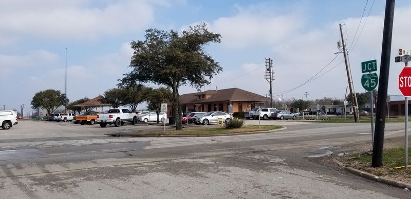
2. A view of the City of Ferris Marker from the road.
Credits. This page was last revised on January 16, 2021. It was originally submitted on January 15, 2021, by James Hulse of Medina, Texas. This page has been viewed 564 times since then and 77 times this year. Photos: 1, 2. submitted on January 16, 2021, by James Hulse of Medina, Texas. • J. Makali Bruton was the editor who published this page.
