Near Townsend in Blount County, Tennessee — The American South (East South Central)
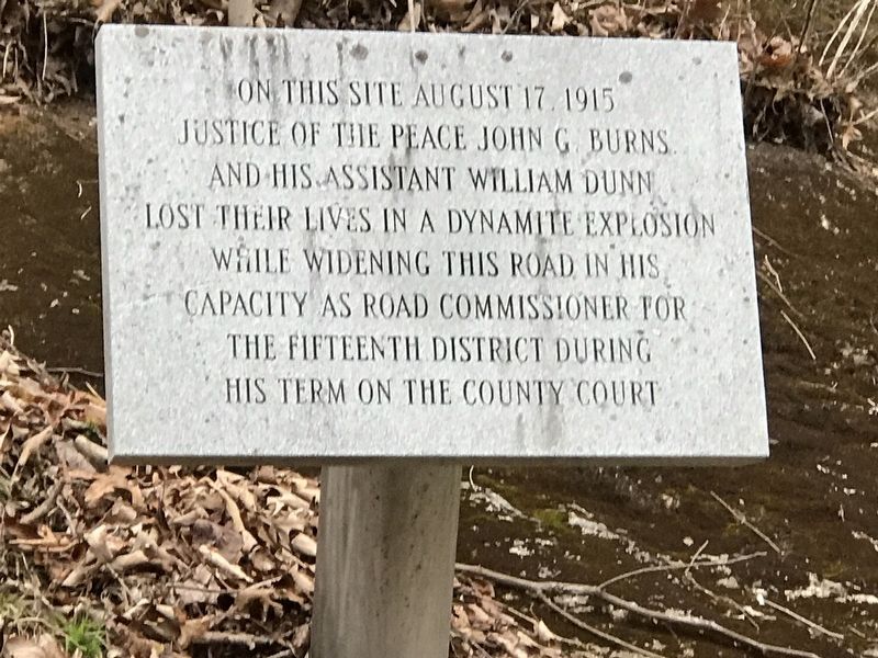
On this site August 17, 1915
Topics. This historical marker is listed in these topic lists: Disasters • Roads & Vehicles. A significant historical date for this entry is August 17, 1915.
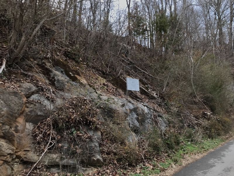
Location. 35° 41.105′ N, 83° 44.472′ W. Marker is near Townsend, Tennessee, in Blount County. Marker is on Cedar Creek Road, 0.6 miles north of U.S. 321, on the right when traveling west. Touch for map. Marker is at or near this postal address: 8117 Cedar Creek Road, Townsend TN 37882, United States of America. Touch for directions.
Other nearby markers. At least 8 other markers are within 9 miles of this marker, measured as the crow flies. John Mitchel (approx. 0.6 miles away); The Little River Lumber Company (approx. 0.8 miles away); Tuckaleechee Villages (approx. 2˝ miles away); Gamble's Station (approx. 5.2 miles away); Civilian Conservation Corps (approx. 7.2 miles away); The Bethlehem Methodist Church (approx. 8.2 miles away); Site of Fort Gamble (approx. 8.6 miles away); Wonderland Hotel (approx. 8.7 miles away). Touch for a list and map of all markers in Townsend.
Credits. This page was last revised on January 17, 2021. It was originally submitted on January 17, 2021, by Duane and Tracy Marsteller of Murfreesboro, Tennessee. This page has been viewed 184 times since then and 25 times this year. Photos: 1, 2. submitted on January 17, 2021, by Duane and Tracy Marsteller of Murfreesboro, Tennessee.

