Near Bridgeton in Parke County, Indiana — The American Midwest (Great Lakes)
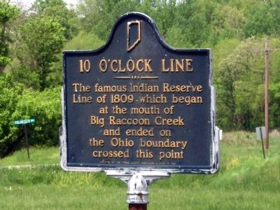
10 O'Clock Line
Treaty with Potawatomi, Delaware, and Miami Indians
Erected 1968 by Parke Co. Historical Society. (Marker Number 61.1968.2.)
Topics and series. This historical marker is listed in these topic lists: Bridges & Viaducts • Native Americans • Notable Events • Notable Places. In addition, it is included in the Indiana Historical Bureau Markers series list. A significant historical year for this entry is 1809.
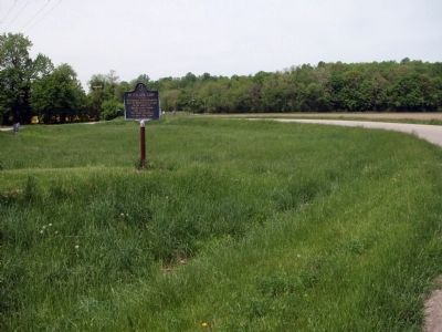
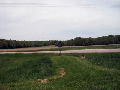
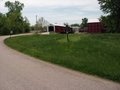
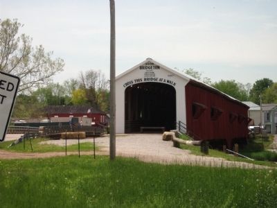
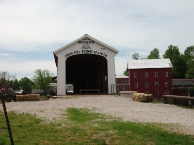
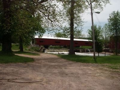
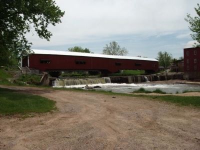
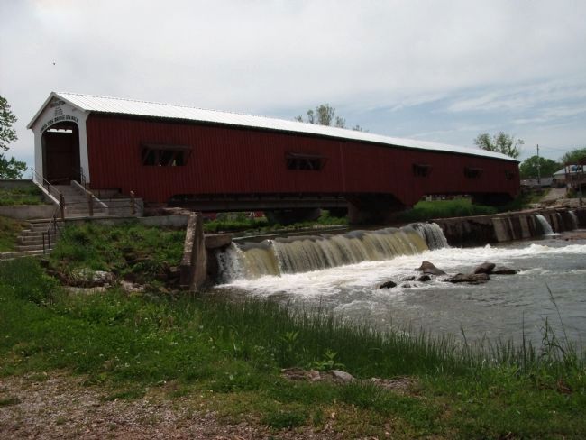
Location. 39° 39.032′ N, 87° 10.559′ W. Marker is near Bridgeton, Indiana, in Parke County. Marker is on County Road E780S north of Road S350E, on the left when traveling north. This Marker is North of the Bridgeton Covered Bridge. Touch for map. Marker is at or near this postal address: 8132 Bridgeton Rd, Rockville IN 47872, United States of America. Touch for directions.
Other nearby markers. At least 8 other markers are within 9 miles of this marker, measured as the crow flies. Mansfield circa 1820 (approx. 4.3 miles away); Roseville (approx. 6.3 miles away); Gov. Joseph A. Wright (approx. 7.9 miles away); Rockville Cemetery (approx. 8 miles away); 1883 Railroad Depot (approx. 8.1 miles away); Old 1832 Jail (approx. 8.1 miles away); World War Memorial (approx. 8.2 miles away); Rockville Chautauqua Pavilion (approx. 8.2 miles away).
Additional keywords. Covered Bridge Festival
Credits. This page was last revised on January 19, 2021. It was originally submitted on May 12, 2009, by Al Wolf of Veedersburg, Indiana. This page has been viewed 3,041 times since then and 40 times this year. Last updated on January 17, 2021, by Craig Doda of Napoleon, Ohio. Photos: 1, 2, 3, 4, 5, 6, 7, 8, 9. submitted on May 12, 2009, by Al Wolf of Veedersburg, Indiana. • Devry Becker Jones was the editor who published this page.
