College Grove in Williamson County, Tennessee — The American South (East South Central)
Rucker Cemetery
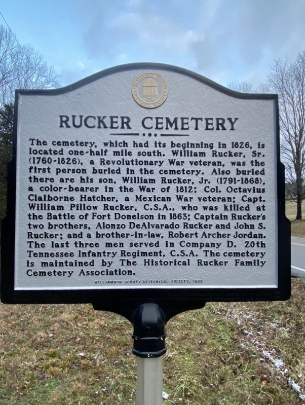
Photographed by Darren Jefferson Clay, January 16, 2021
1. Rucker Cemetery Marker
The cemetery, which had its beginning in 1826, is located one-half mile south. William Rucker, Sr. (1760-1826), a Revolutionary War veteran, was the first person buried in the cemetery. Also buried there are his son, William Rucker, Jr. (1791-1868), a color-bearer in the War of 1812; Col. Octavius Claiborne Hatcher, a Mexican War veteran; Capt. William Pillow Rucker, C.S.A., who was killed at the Battle of Fort Donelson in 1863; Captain Rucker's two brothers, Alonzo De Alvarado Rucker and John S. Rucker; and a brother-in-law, Robert Archer Jordan. The last three men served in Company D, 20th Tennessee Infantry Regiment, C.S.A. The cemetery is maintained by The Historical Rucker Family Cemetery Association.
Erected 1998 by Williamson County Historical Society.
Topics and series. This historical marker is listed in this topic list: Cemeteries & Burial Sites. In addition, it is included in the Tennessee – Williamson County Historical Society series list.
Location. 35° 47.252′ N, 86° 44.533′ W. Marker is in College Grove, Tennessee, in Williamson County.
this page online

Regionally, this marker is in Middle Tennessee and in Greater Nashville. It is also in the American South and specifically in the Upper South. Globally, it is in North America, the Western Hemisphere, the Western World, and the Anglosphere. Historically, it finds itself in what was once the territory of the Mississippian Culture, one of the Confederate States of America, and the Antebellum South.
Other nearby markers. At least 8 other markers are within 4 miles of this marker, measured as the crow flies: Arno Community/Wesley Chapel Methodist Church (approx. 1½ miles away); The Cove (approx. 1.6 miles away); Sam and Kirk McGee (approx. 1.8 miles away); Owen Hill (approx. 1.9 miles away); Cross Keys (approx. 2.6 miles away); Peytonsville (approx. 2.9 miles away); Ogilvie Farm (approx. 3.4 miles away); Bethesda (approx. 3½ miles away). Touch for a list and map of all markers in College Grove.
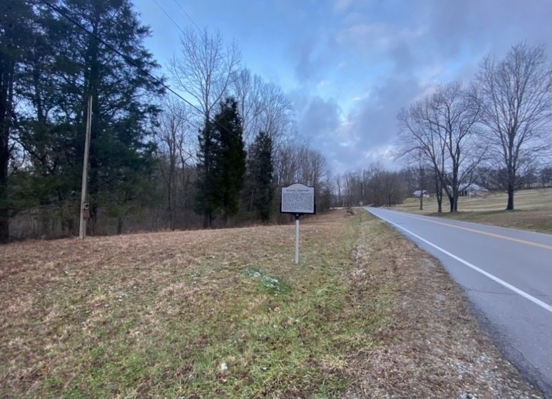
Photographed by Darren Jefferson Clay, January 16, 2021
2. Rucker Cemetery Marker
Credits. This page was last revised on April 17, 2022. It was originally submitted on January 18, 2021, by Darren Jefferson Clay of Duluth, Georgia. This page has been viewed 1,184 times since then and 81 times this year. Photos: 1, 2. submitted on January 18, 2021, by Darren Jefferson Clay of Duluth, Georgia. • J. Makali Bruton was the editor who published this page.
