Quinwood in Greenbrier County, West Virginia — The American South (Appalachia)
Nicholas County / Greenbrier County
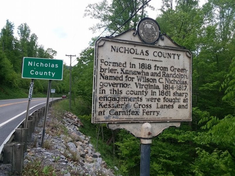
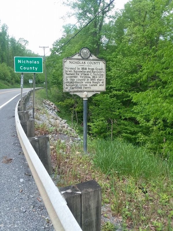
Nicholas County. Formed in 1818 from Greenbrier, Kanawha and Randolph. Named for Wilson C. Nicholas, governor, Virginia, 1814-1817. In this countư in 1861 sharp engagements were fought at Kessler's Cross Lanes and at Carnifex Ferry.
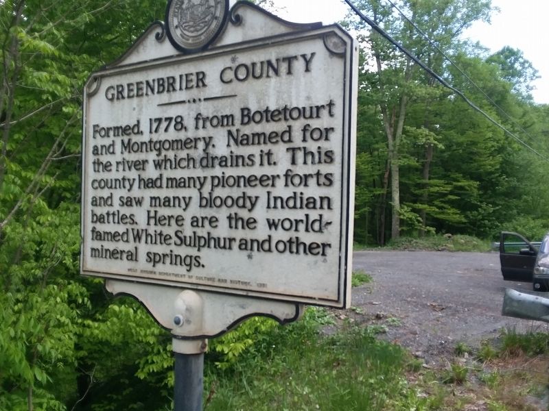
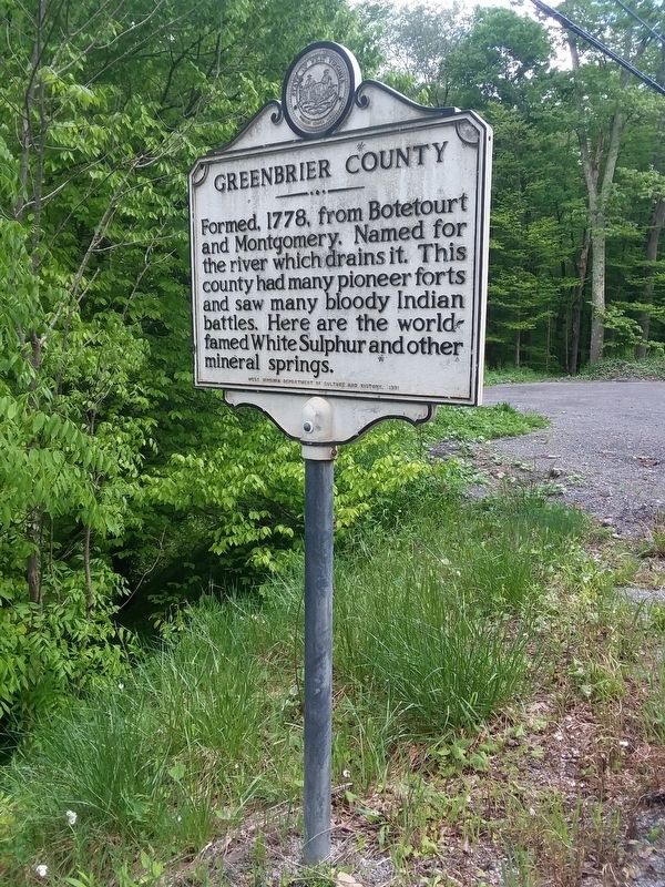
Greenbrier County. Formed, 1778, from Botetourt and Montgomery. Named for the river which drains it. This county had many pioneer forts and saw many bloody Indian battles. Here are the world-famed White Sulphur and other mineral springs.
Erected 1981 by West Virginia Department of Culture and History.
Topics and series. This historical marker is listed in these topic lists: Political Subdivisions • War, US Civil • Wars, US Indian. In addition, it is included in the West Virginia Archives and History series list. A significant historical year for this entry is 1818.
Location. 38° 4.938′ N, 80° 42.492′ W. Marker is in Quinwood, West Virginia, in Greenbrier County. Marker is on Coalfield Trail (West Virginia Route 20), on the right when traveling north. On the side of the road. With small pull off spot. Touch for map. Marker is in this post office area: Quinwood WV 25981, United States of America. Touch for directions.
Other nearby markers. At least 8 other markers are within 10 miles of this marker, measured as the crow flies. Coal Miners Memorial & Heritage Park (approx. 1.7 miles away); Coal Miners Memorial (approx. 1.7 miles away); Miracle at Hominy Falls (approx. 5 miles away); Leivasy (approx. 5½ miles away); Meadow River Lumber Company / United Methodist Church (approx. 8.8 miles away); Rupert (approx. 9.2 miles away); Nallen / Wilderness Lumber Company (approx. 9½ miles away); Gen. Robert E. Lee (approx. 9½ miles away). Touch for a list and map of all markers in Quinwood.
Credits. This page was last revised on December 25, 2023. It was originally submitted on January 18, 2021, by Craig Doda of Napoleon, Ohio. This page has been viewed 179 times since then and 31 times this year. Last updated on December 22, 2023, by Carl Gordon Moore Jr. of North East, Maryland. Photos: 1, 2, 3, 4. submitted on January 18, 2021, by Craig Doda of Napoleon, Ohio. • Devry Becker Jones was the editor who published this page.


