Princess Anne in Somerset County, Maryland — The American Northeast (Mid-Atlantic)
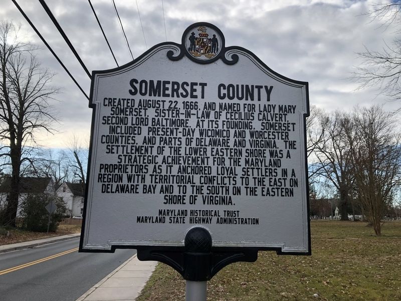
Somerset County
Erected by Maryland Historical Trust, Maryland State Highway Administration.
Topics. This historical marker is listed in these topic lists: Colonial Era • Political Subdivisions • Settlements & Settlers. A significant historical date for this entry is August 22, 1666.
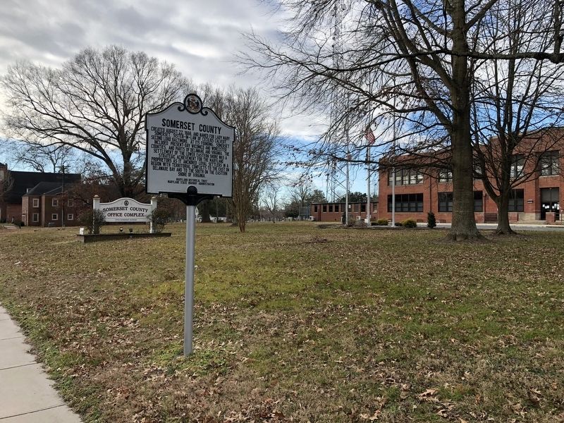
Location. 38° 12.533′ N, 75° 41.695′ W. Marker is in Princess Anne, Maryland, in Somerset County. Marker is on Somerset Avenue (Maryland Route 675) just south of Washington High School Back Road, on the right when traveling south. Touch for map. Marker is at or near this postal address: 11916 Somerset Ave, Princess Anne MD 21853, United States of America. Touch for directions.
Other nearby markers. At least 8 other markers are within walking distance of this marker. Manokin Presbyterian Church (about 600 feet away, measured in a direct line); Princess Anne Town (approx. 0.2 miles away); Somerset County Circuit Courthouse (approx. 0.3 miles away); Teackle Mansion (approx. 0.4 miles away); Birthplace of Samuel Chase (approx. 0.4 miles away); St. Andrew's Episcopal Church (approx. 0.4 miles away); Historic Boxwood Gardens (approx. 0.4 miles away); University of Maryland Eastern Shore (approx. 0.6 miles away). Touch for a list and map of all markers in Princess Anne.
Credits. This page was last revised on January 19, 2021. It was originally submitted on January 19, 2021, by Devry Becker Jones of Washington, District of Columbia. This page has been viewed 173 times since then and 20 times this year. Photos: 1, 2. submitted on January 19, 2021, by Devry Becker Jones of Washington, District of Columbia.

