The Shapes of Ships
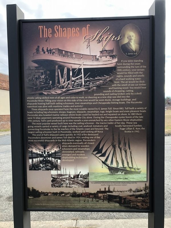
If you were standing here during the years surrounding the turn of the 20th century, your senses would be filled with the sights, sounds and smells of a hard working waterfront. The air would be thick with the smell of cut raw timber and burning wood. You would hear sounds of chopping, cutting, pounding and nailing broken only by a shrill whistle calling skilled men of all ages and color to work, or cheering as a new ship was slid into the Pocomoke River. Filling your vision on this side of the river would be worn docks, storage buildings, and shipyards hosting half built sailing schooners, river steamships and Chesapeake fishing boats. The Pocomoke waterfront was alive with maritime trades and activity!
Three shipyards once operated here the most notable owned by E. James Tull. Since 1882, Tull built a variety of boats including big schooners, sloops, bugeyes, skipjacks, tugs, freight boats and even pleasure boats. Pocomoke also boasted marine railways where boats could be hauled out and repaired on shore. In 1883 there were 54 ship carpenters operating around Pocomoke City alone. During the Chesapeake oyster boom
this page online
The most popular vessel built here was the sailing schooner — the tractor trailer of her day. These sea going vessels carried a variety of cargo including coal, seafood, tomatoes and locally harvested lumber, connecting Pocomoke to the far reaches of the Atlantic coast and beyond. The huge Lillian E. Kerr, the largest sailing schooner built in Pocomoke, worked until sinking off Nova Scotia in 1942.
The end of Tull's shipyard came quickly. In 1922 a fire destroyed Pocomoke's downtown and James Tull died in 1924, ending one of the most successful shipyards in the Mid-Atlantic region. Pocomoke's shipyards eventually all closed when demand for wooden schooners and steamships diminished, railroads emerged and modern shipbuilding techniques developed.
Erected by Worcester County Tourism.
Topics. This historical marker is listed in these topic lists: Animals • Industry & Commerce • Waterways & Vessels. A significant historical year for this entry is 1882.
Location. 38° 4.548′ N, 75° 34.248′ W.
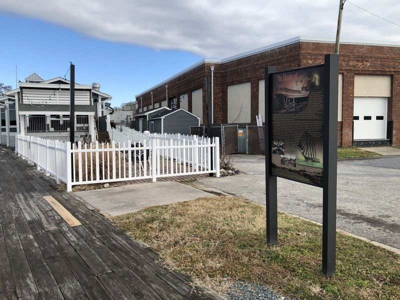

Regionally, this marker is on the Eastern Shore. It is also in the American Mid-Atlantic, on the Delmarva Peninsula, in the Tidewater, and on the Eastern Seaboard. Globally, it is in the North Atlantic Region, North America, the Western Hemisphere, the Western World, and the Anglosphere. Historically, it finds itself in what was once one of the original Thirteen Colonies and also the Antebellum South.
Other nearby markers. At least 8 other markers are within walking distance of this marker: Sturgis One-Room School Museum (within shouting distance of this marker); River Trades & Traditions / River Lore & Legend (about 400 feet away); Mar-Va Theater (about 500 feet away); Loblolly Pine (about 500 feet away); Olive Marie Lippoldt (about 500 feet away); In Memory of the Deceased Who Served to Protect Our Country (about 700 feet away); Costen House (approx. 0.2 miles away); Pocomoke City Historic Railroad Station (approx. half a mile away). Touch for a list and map of all markers in Pocomoke City.
Another marker is no longer nearby. Sturgis One Room School (was about 300 feet away, measured in a direct line but has been replaced with another marker now near it).
Credits. This page was last revised on January 19, 2021. It was originally submitted on January 19, 2021, by Devry Becker Jones of Washington, District of Columbia. This page has been viewed 825 times since then and 63 times this year. Photos: 1, 2. submitted on January 19, 2021, by Devry Becker Jones of Washington, District of Columbia.
