Beckley in Raleigh County, West Virginia — The American South (Appalachia)
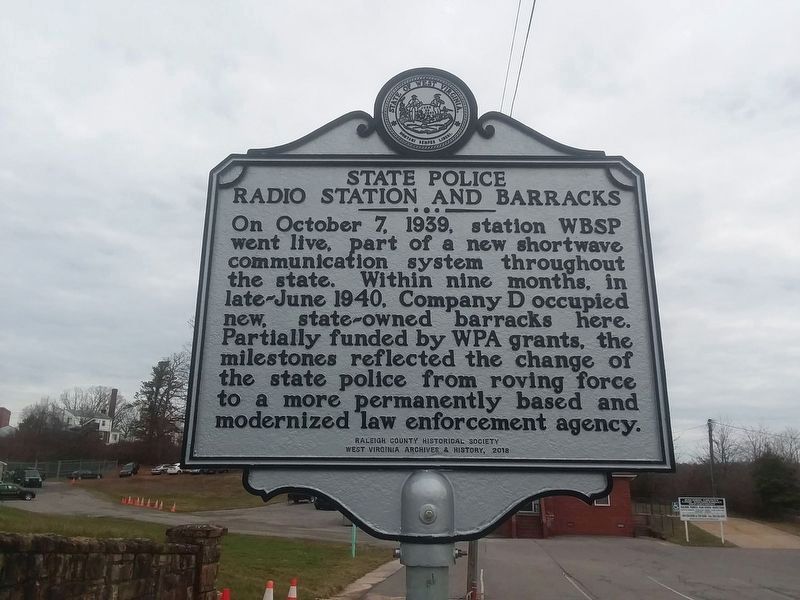
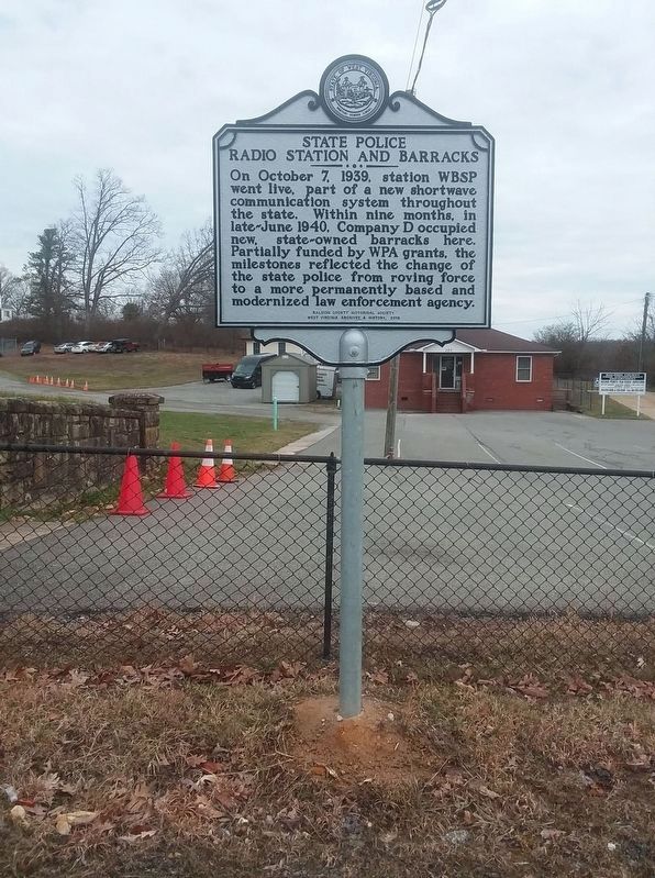
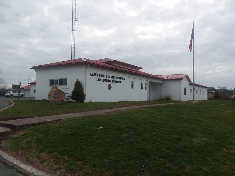
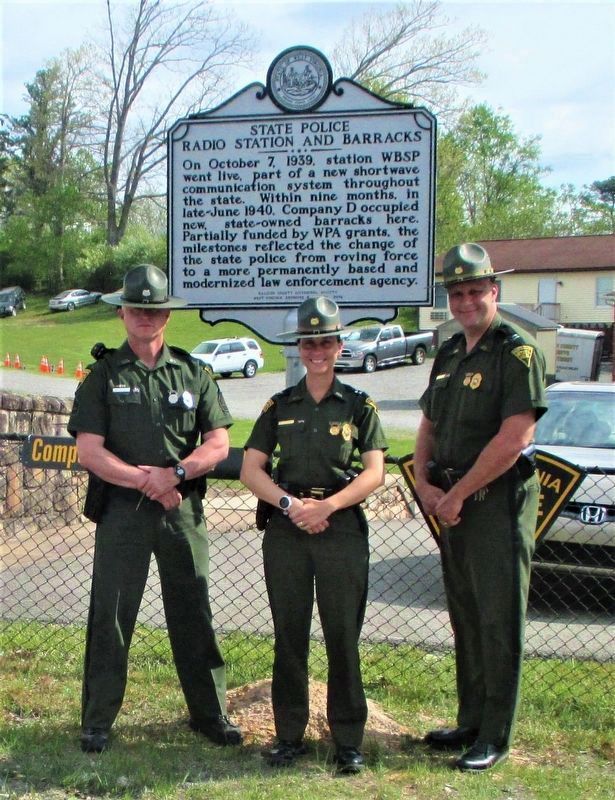
State Police Radio Station And Barracks
Erected 2019 by West Virginia Archives & History.
Topics and series. This historical marker is listed in these topic lists: Communications • Law Enforcement. In addition, it is included in the West Virginia Archives and History, and the Works Progress Administration (WPA) projects series lists. A significant historical date for this entry is October 7, 1939.
Location. 37° 46.822′ N, 81° 9.984′ W. Marker is in Beckley, West Virginia, in Raleigh County. Marker is on S. Eisenhower Drive (U.S. 19), on the right when traveling north. Touch for map. Marker is in this post office area: Beckley WV 25801, United States of America. Touch for directions.
Other nearby markers. At least 8 other markers are within walking distance of this marker. Green Beret Birthplace (approx. 0.2 miles away); Pinecrest Sanitarium (approx. ¼ mile away); Airport Hangar and Office (approx. 0.3 miles away); Beckley Mill (approx. 0.6 miles away); Civil War Site (approx. 0.7 miles away); Clarence W. Meadows (approx. 0.7 miles away); Alfred Beckley / Wildwood (approx. 0.7 miles away); The Mysterious Ferguson Rock (approx. 0.7 miles away). Touch for a list and map of all markers in Beckley.
Credits. This page was last revised on July 25, 2021. It was originally submitted on January 19, 2021, by Craig Doda of Napoleon, Ohio. This page has been viewed 230 times since then and 46 times this year. Photos: 1, 2, 3. submitted on January 19, 2021, by Craig Doda of Napoleon, Ohio. 4. submitted on July 10, 2021, by Merle T. Cole of Daniels, West Virginia. • Bill Pfingsten was the editor who published this page.


