Onancock in Accomack County, Virginia — The American South (Mid-Atlantic)
Steering the Annie C…
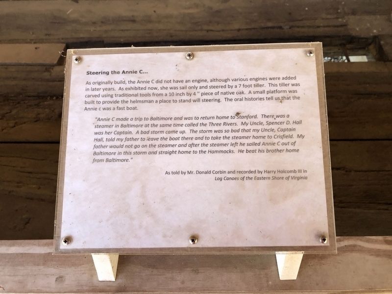
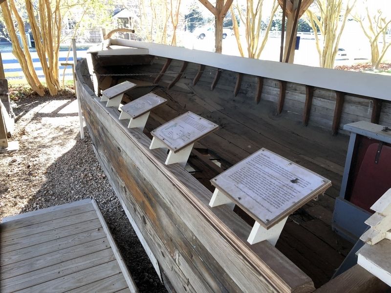
As originally build, the Annie C did not have an engine, although various engines were added in later years. As exhibited now, she was sail only and steered by a 7 foot tiller. This tiller was carved using traditional tools from a 10 inch by 4" piece of native oak. A small platforms was built to provide the helmsman a place to stand with steering. The oral histories tell us that the Annie c was a fast boat.
"Annie C made a trip to Baltimore and was to return home to Stanford. There was a steamer in Baltimore at the same time called the Three Rivers. My Uncle, Spencer D. Hall was her Captain. A bad storm came up. The storm was so bad that my Uncle, Captain Hall, told my father to leave the boat there and to take the steamer home to Crisfield. My father would not go on the steamer and after the steamer left he sailed Annie C out of Baltimore in this storm and straight home to the Hammocks. He beat his brother home from Baltimore."As told by Mr. Donald Corbin and recorded by Harry Holcomb III in Log Canoes of the Eastern Shore of Virginia
Erected by Eastern Shore of Virginia Historical Society.
Topics.
this page online
Location. 37° 42.761′ N, 75° 44.772′ W. Marker is in Onancock, Virginia, in Accomack County. It can be reached from the intersection of Market Street and College Avenue, on the right when traveling west. Touch for map. Marker is in this post office area: Onancock VA 23417, United States of America. Touch for directions.

Regionally, this marker is on Virginia’s Eastern Shore. It is also in the American South, specifically in the Upper South, on the Delmarva Peninsula, in the Tidewater, and on the Eastern Seaboard. Globally, it is in the North Atlantic Region, North America, the Western Hemisphere, the Western World, and the Anglosphere. Historically, it finds itself in what was once the territory of the Mississippian Culture, one of the original Thirteen Colonies, one of the Confederate States of America, and the Antebellum South.
Other nearby markers. At least 8 other markers are within walking distance of this marker: The knees and washboards… (here, next to this marker); Log Canoe Annie C
Credits. This page was last revised on January 19, 2021. It was originally submitted on January 19, 2021, by Devry Becker Jones of Washington, District of Columbia. This page has been viewed 357 times since then and 14 times this year. Photos: 1, 2. submitted on January 19, 2021, by Devry Becker Jones of Washington, District of Columbia.
