Onancock in Accomack County, Virginia — The American South (Mid-Atlantic)
The Logs…
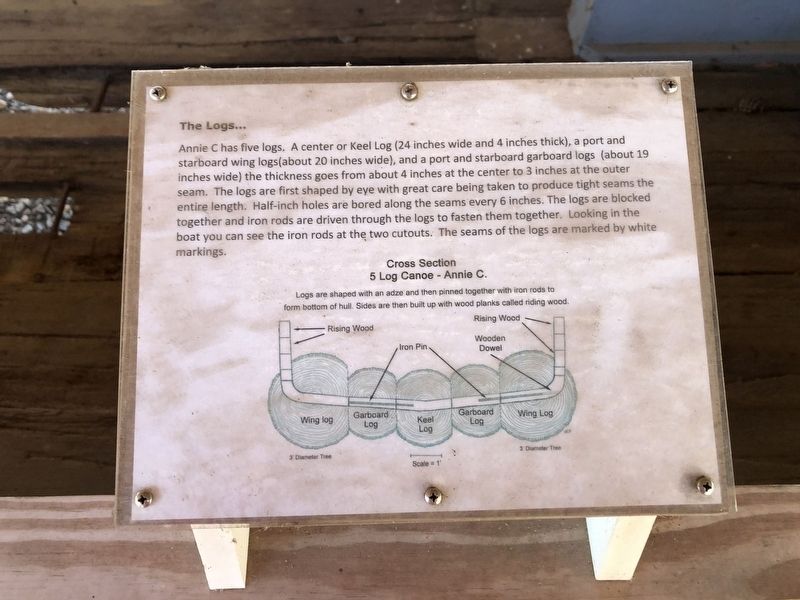
Annie C has five logs. A center or Keel Log (24 inches wide and 4 inches thick), a port and starboard wind logs (about 20 inches wide), and a port and starboard garboard logs (about 19 inches wide) the thickness goes from about 4 inches at the center to 3 inches at the outer seam. The logs are first shaped by eye and great care being taken to produce tight seams the entire length. Half-inch holes are bored along the seams every 6 inches. The logs are blocked together and iron rods are driven through the logs to fasten them together. Looking in the boat you can see the iron rods at the two cutouts. The seams of the logs are marked by white markings.
[Caption:]
5 Log Canoe - Annie C.
Erected by Eastern Shore of Virginia Historical Society.
Topics. This historical marker is listed in this topic list: Waterways & Vessels.
Location. 37° 42.761′ N, 75° 44.772′ W. Marker is in Onancock, Virginia, in
this page online

Regionally, this marker is on the Eastern Shore. It is also in the American South, specifically in the Upper South, on the Delmarva Peninsula, in the Tidewater, and on the Eastern Seaboard. Globally, it is in the North Atlantic Region, North America, the Western Hemisphere, the Western World, and the Anglosphere. Historically, it finds itself in what was once the territory of the Mississippian Culture, one of the original Thirteen Colonies, one of the Confederate States of America, and the Antebellum South.
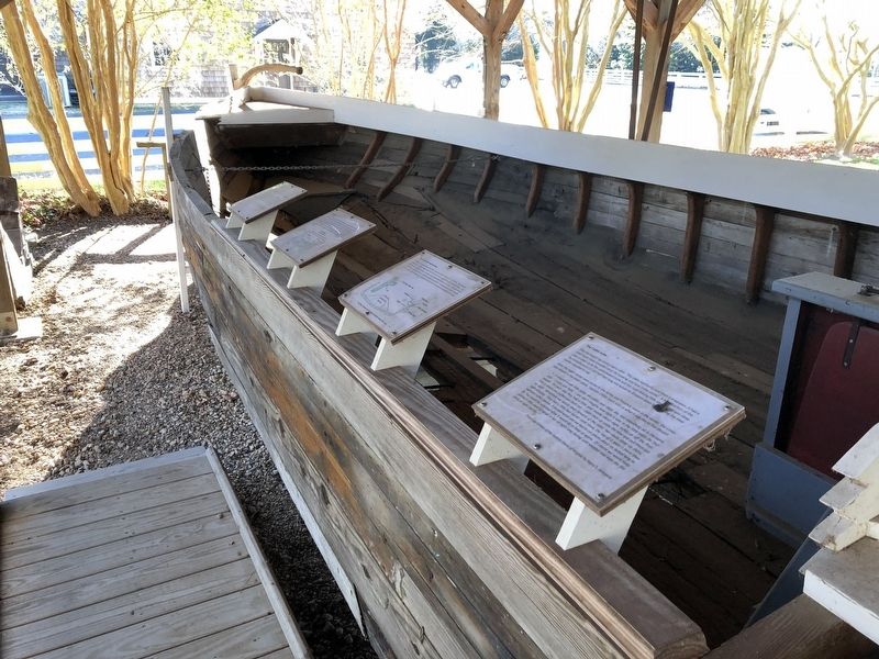
Other nearby markers. At least 8 other markers are within walking distance of this marker: Steering the Annie C… (here, next to this marker); The knees and washboards… (here, next to this marker); Log Canoe Annie C (here, next to this marker); The Cabin area… (here, next to this marker); Annie C. (here, next to this marker); Kerr Place (about 400 feet away, measured in a
Credits. This page was last revised on January 19, 2021. It was originally submitted on January 19, 2021, by Devry Becker Jones of Washington, District of Columbia. This page has been viewed 272 times since then and 23 times this year. Photos: 1, 2. submitted on January 19, 2021, by Devry Becker Jones of Washington, District of Columbia.
