
Machipongo in Northampton County, Virginia — The American South (Mid-Atlantic)
Edward Franklin and Dorothy "Dot" Wise Gibb
Photographed by Devry Becker Jones (CC0), January 17, 2021
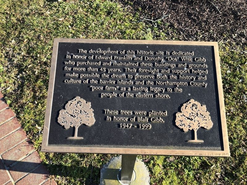
1. Edward Franklin and Dorothy "Dot" Wise Gibb Marker
The development of this historic site is dedicated in honor of Edward Franklin and Dorothy "Dot" Wise Gibb who purchased and maintained these buildings and grounds for more than 45 years. Their foresight and support helped make possible the dream to preserve both the history and culture of the barrier islands and the Northampton County "poor farm" as a lasting legacy to the people of the eastern shore.
These trees were planted in honor of Blair Gibb 1947 - 1999.
Topics. This historical marker is listed in these topic lists: Agriculture • Charity & Public Work • Education. A significant historical year for this entry is 1947.
Location. 37° 24.266′ N, 75° 54.312′ W. Marker is in Machipongo, Virginia, in Northampton County. It can be reached from Young Street (County Road 627) just west of Lankford Highway (U.S. 13), on the right when traveling west. Touch for map. Marker is at or near this postal address: 7295 Young St, Machipongo VA 23405, United States of America. Touch for directions.
Regionally, this marker is on Virginia’s Eastern Shore. It is also in the American South, specifically in the Upper
this page online
Other nearby markers. At least 8 other markers are within walking distance of this marker: Grace and William Eyre (here, next to this marker); Site of the Almshouse Farm at Machipongo (a few steps from this marker); The Barrier Islands Center (a few steps from this marker); Wooden Remnant (within shouting distance of this marker); Northampton County Almshouse At Machipongo (within shouting distance of this marker); Relic from Spanish Steamship (within shouting distance of this marker); a different marker also named The African American Almshouse (within shouting distance of this marker); The Quarter Kitchen (1844) (within shouting distance of this marker). Touch for a list and map of all markers in Machipongo.
Other markers
Photographed by Devry Becker Jones (CC0), January 17, 2021
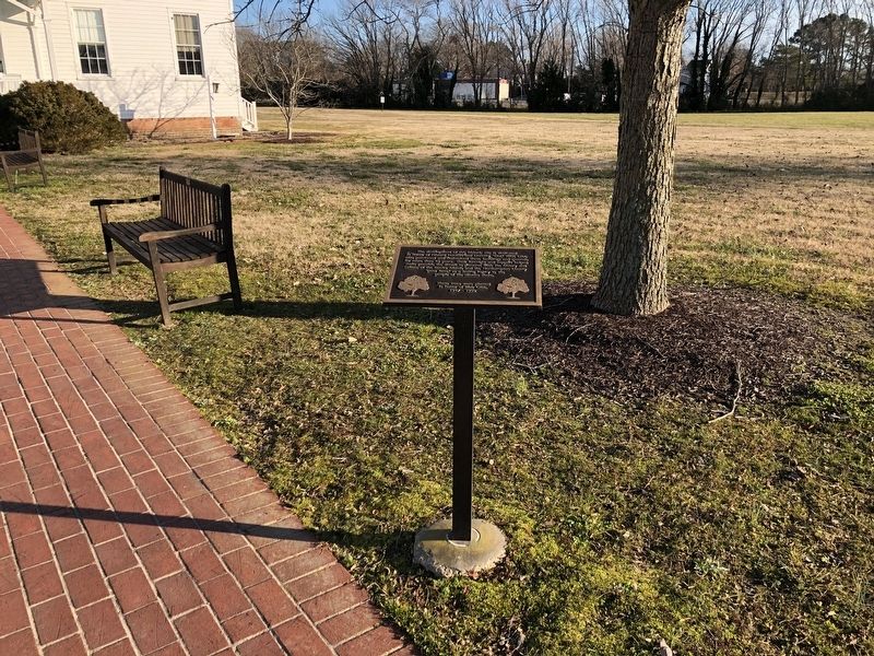
2. Edward Franklin and Dorothy "Dot" Wise Gibb Marker
Credits. This page was last revised on January 20, 2021. It was originally submitted on January 20, 2021, by Devry Becker Jones of Washington, District of Columbia. This page has been viewed 379 times since then and 22 times this year. Photos: 1, 2. submitted on January 20, 2021, by Devry Becker Jones of Washington, District of Columbia.
