Hinton in Summers County, West Virginia — The American South (Appalachia)
Lilly
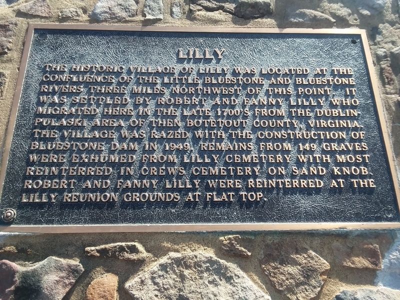
Photographed by Craig Doda, March 16, 2019
1. Lilly Marker
Topics. This historical marker is listed in these topic lists: Cemeteries & Burial Sites • Settlements & Settlers. A significant historical year for this entry is 1949.
Location. 37° 36.888′ N, 80° 54.993′ W. Marker is in Hinton, West Virginia, in Summers County. It is on West Virginia Route 20, on the right when traveling north. Touch for map. Marker is in this post office area: Hinton WV 25951, United States of America. Touch for directions.

Regionally, this marker is in the Southern Coalfields. It is also in the American South, specifically in the Upper South, in Appalachia,
this page online
Other nearby markers. At least 8 other markers are within 4 miles of this marker, measured as the crow flies: Follow the River to Freedom (about 500 feet away, measured in a direct line); Lilly Bridge (about 600 feet away); Pack's Ferry (approx. 0.4 miles away); Giles, Fayette & Kanawha Turnpike (approx. 1.2 miles away); Status of Construction (approx. 2½ miles away); Home of Jack Warhop (approx. 2.8 miles away); Fort Culbertson (approx. 3.1 miles away); Wreck on the C&O (approx. 3.3 miles away). Touch for a list and map of all markers in Hinton.
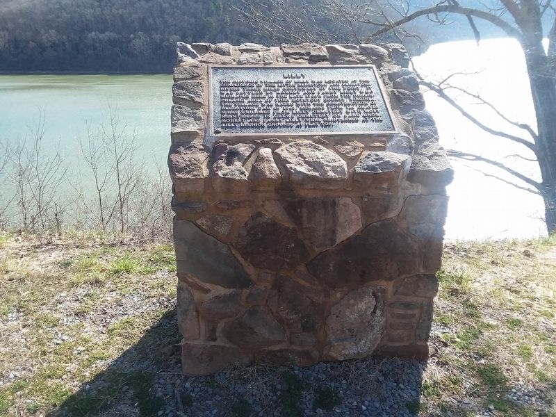
Photographed by Craig Doda, March 16, 2019
2. Lilly Marker
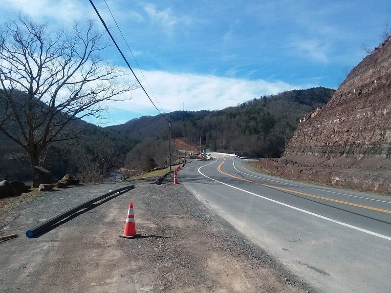
Photographed by Craig Doda, March 16, 2019
3. Lilly Marker
Credits. This page was last revised on January 22, 2021. It was originally submitted on January 20, 2021, by Craig Doda of Napoleon, Ohio. This page has been viewed 1,218 times since then and 138 times this year. Photos: 1, 2, 3. submitted on January 20, 2021, by Craig Doda of Napoleon, Ohio. • J. Makali Bruton was the editor who published this page.
