Eastern North Carolina
Civil War Trails
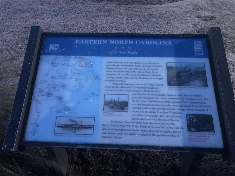
North Carolina's Civil War stories are as diverse as its landscape. Northeastern North Carolina, including Camden County, the Outer Banks, and the coastal rivers, saw action early in the war as Union forces occupied it. Stories abound of naval battles, blockade running, Federal raids, and the Confederacy's struggle to supply its armies.
Manmade waterways such as the Dismal Swamp Canal and the Albemarle & Chesapeake Canal tied rivers and sounds to cities in eastern North Carolina and Virginia. Union occupation began in 1862, and the Federals gradually extended their control westward with campaigns and raids up the rivers. Confederate guerillas attacked Union transportation and communication lines along the rivers and canals. Federal punitive expeditions drove the guerillas into the swamps, freed thousands of slaves, and cut supply lines from Wilmington and other coastal ports. The cat-and-mouse games continued until the end of the war.
Experience thee and many more stories as your tour the North Carolina Civil War Trails. Please drive carefully as you visit sites where ironclads and wooden ships, spies and smugglers,
this page online
Erected by North Carolina Civil War Trails.
Topics and series. This historical marker is listed in this topic list: War, US Civil. In addition, it is included in the North Carolina Civil War Trails series list. A significant historical year for this entry is 1862.
Location. 36° 30.412′ N, 76° 21.347′ W. Marker is in Camden, North Carolina, in Camden County. It is on McPherson Road (State Highway 1231) 0.1 miles south of U.S. 17, on the right when traveling south. Touch for map. Marker is at or near this postal address: 2362 US-17, South Mills NC 27976, United States of America. Touch for directions.

Regionally, this marker is in the Coastal Plain and in the Hampton Roads Metropolitan Area. It is also in the American South, specifically in the Upper South, in the Tidewater, and on the Eastern Seaboard. Globally, it is in the North Atlantic Region, North America, the Western Hemisphere, the Western World, and the Anglosphere. Historically, it finds itself in what was once the territory of the Mississippian Culture, one of the
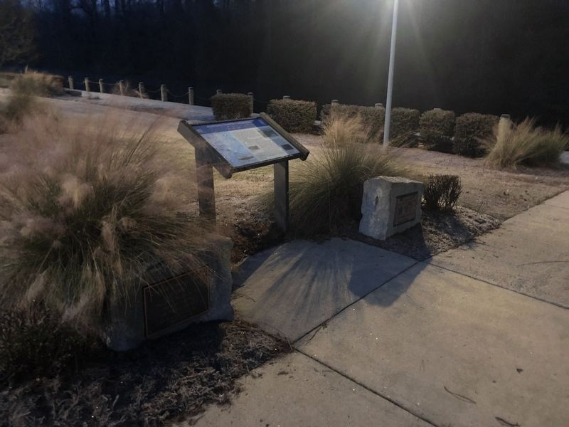
Other nearby markers. At least 8 other markers are within 7 miles of this marker, measured as the crow flies: Dismal Swamp Canal (here, next to this marker); McBride Church (approx. 4.4 miles away); a different marker also named Dismal Swamp Canal (approx. 4.4 miles away); a different marker also named Dismal Swamp Canal (approx. 4.8 miles away); McBride Colored School (approx. 5 miles away); North West Canal (approx. 6.9 miles away in Virginia); a different marker also named Battle of South Mills (approx. 7 miles away); Wallaceton (approx. 7 miles away in Virginia). Touch for a list and map of all markers in Camden.
Another marker is no longer nearby. Battle of South Mills (was approx. 4.8 miles away but has been replaced with another marker now near it).
Additional commentary.
1. Location of the marker
Camden, North Carolina is a consolidated city-county and is considered a single municipality with the exception of the portion of Elizabeth City that lies within the county border. The rural communities are part of Camden.
Credits. This page was last revised on January 20, 2021. It was originally submitted on January 20, 2021, by Devry Becker Jones of Washington, District of Columbia. This page has been viewed 436 times since then and 29 times this year. Photos: 1, 2. submitted on January 20, 2021, by Devry Becker Jones of Washington, District of Columbia.
Editor’s want-list for this marker. Clear daylight photos of the marker • Can you help?
