South Hills in Camden in Camden County, North Carolina — The American South (South Atlantic)
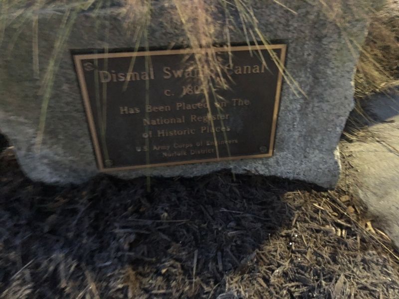
Dismal Swamp Canal
2362 Highway 17
c. 1805
Has Been Placed on The
National Register
of Historic Places
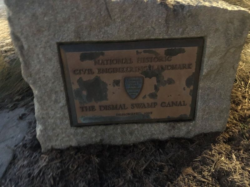
[Additional block to the right:]
Civil Engineering Landmark
The Dismal Swamp Canal
Designated 1987
Erected by U.S. Army Corps of Engineers, Norfolk District.
Topics and series. This historical marker is listed in these topic lists: Industry & Commerce • Waterways & Vessels. In addition, it is included in the ASCE Civil Engineering Landmarks series list. A significant historical year for this entry is 1805.
Location. 36° 30.413′ N, 76° 21.346′ W. Marker is in Camden, North Carolina, in Camden County. It is in South Hills. Marker is on McPherson Road (State Highway 1231) 0.1 miles west of U.S. 17, on the right when traveling south. Touch for map. Marker is at or near this postal address: 2362 US-17, South Mills NC 27976, United States of America. Touch for directions.
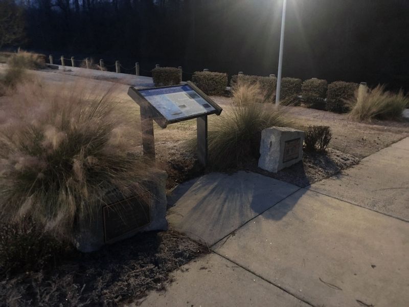
Other nearby markers. At least 8 other markers are within 7 miles of this marker, measured as the crow flies. Eastern North Carolina (here, next to this marker); McBride Church (approx. 4.4 miles away); a different marker also named Dismal Swamp Canal (approx. 4.4 miles away); Battle of South Mills (approx. 4.8 miles away); McBride Colored School (approx. 5 miles away); North West Canal (approx. 6.9 miles away in Virginia); a different marker also named Battle of South Mills (approx. 7 miles away); Glencoe (approx. 7 miles away in Virginia). Touch for a list and map of all markers in Camden.
Additional commentary.
1. Location of the marker
Camden, North Carolina is a consolidated city-county and is considered a single municipality with the exception of the portion of Elizabeth City that lies within the county border. The rural communities are part of Camden.
— Submitted January 20, 2021, by Devry Becker Jones of Washington, District of Columbia.
Credits. This page was last revised on May 17, 2023. It was originally submitted on January 20, 2021, by Devry Becker Jones of Washington, District of Columbia. This page has been viewed 178 times since then and 9 times this year. Photos: 1, 2, 3. submitted on January 20, 2021, by Devry Becker Jones of Washington, District of Columbia.
Editor’s want-list for this marker. Clear daylight photos of the plaques. • Can you help?


