Fayetteville in Fayette County, West Virginia — The American South (Appalachia)
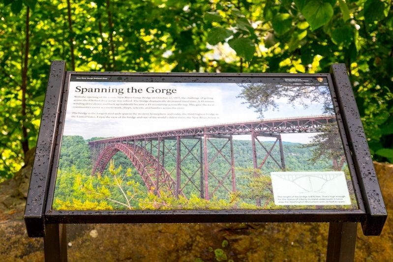
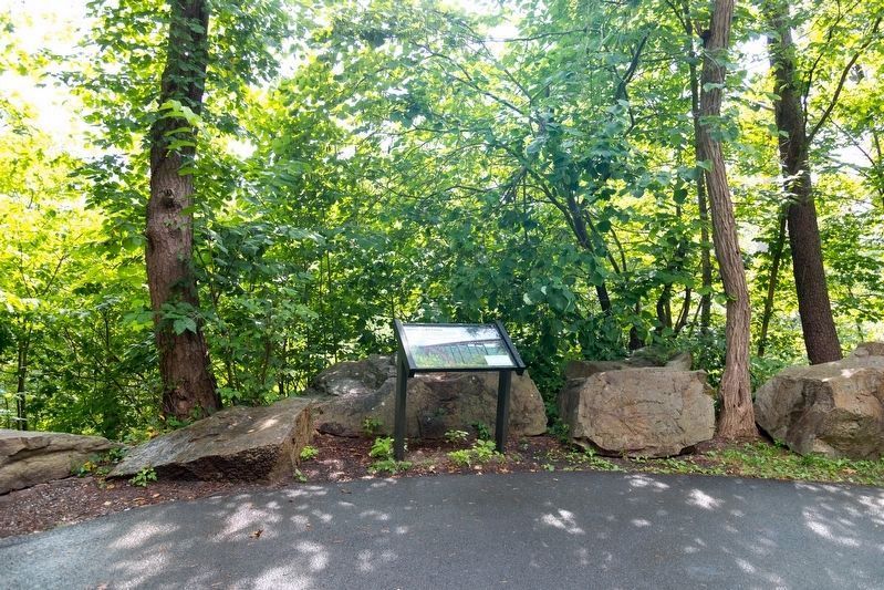
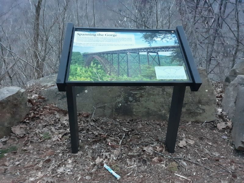
Spanning the Gorge
New River Gorge National River
— National Park Service, U.S. Department of the Interior —
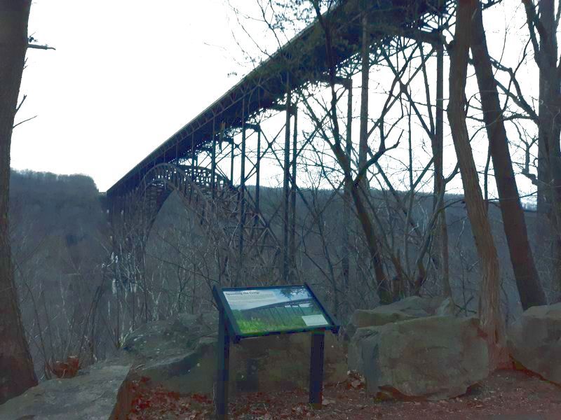
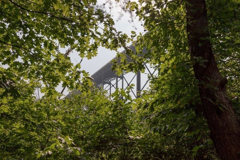
With the opening of the iconic New River Gorge Bridge on October 22, 1977, the challenge of getting across the 876 foot deep gorge was solved. The bridge dramatically decreased travel time. A 45 minute winding drive down and back up suddenly became a 45 second trip across the top. This gave the local communities easier access to work, shops, schools, and families across the river. The bridge is the longest steel arch span in the western hemisphere and today, the third highest bridge in the United States. Enjoy the view of the bridge and one of the world's oldest rivers, the New River, below it.
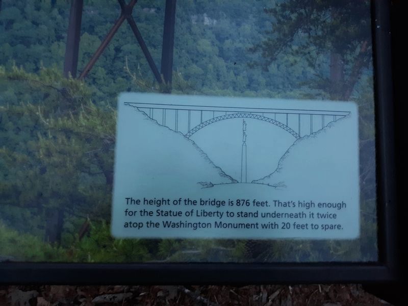
The height of the bridge is 876 feet. That's high enough for the Statue of Liberty to stand underneath it twice atop the Washington Monument with 20 feet to spare.
Erected by National Park Service, U.S. Department of the Interior.
Topics. This historical marker is listed in these topic lists: Bridges & Viaducts • Waterways & Vessels. A significant historical date for this entry is October 22, 1977.
Location. 38° 4.2′ N, 81° 4.733′ W. Marker is in Fayetteville, West Virginia, in Fayette County. Marker is on Fayette Station Road (County Road 82), on the right when traveling east. The marker is along the Fayette Station Road Audio Tour. Touch for map. Marker is in this post office area: Fayetteville WV 25840, United States of America. Touch for directions.
Other nearby markers. At least 8 other markers are within walking distance of this marker. Layers of History (within shouting distance of this marker); The Bridge (within shouting distance of this marker); Growth of an Era (within shouting distance of this marker); a different marker also named The Bridge (about 300 feet away, measured in a direct line); From Coal Mining to Rock Climbing (about 400 feet away); New River Gorge Bridge (about 700 feet away); Smoke, Coke, Coal, and Kaymoor (approx. 0.2 miles away); New River Gorge Scenic Drives (approx. 0.2 miles away). Touch for a list and map of all markers in Fayetteville.
Credits. This page was last revised on August 13, 2021. It was originally submitted on January 20, 2021, by Craig Doda of Napoleon, Ohio. This page has been viewed 144 times since then and 14 times this year. Photos: 1, 2. submitted on August 13, 2021, by J. J. Prats of Powell, Ohio. 3, 4, 5. submitted on January 20, 2021, by Craig Doda of Napoleon, Ohio. 6, 7. submitted on August 13, 2021, by J. J. Prats of Powell, Ohio. • Devry Becker Jones was the editor who published this page.
