Summersville in Nicholas County, West Virginia — The American South (Appalachia)
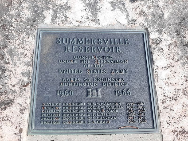
Summersville Reservoir
Constructed
Under the Supervision
of the United States Army
Corps of Engineers
Huntington District
1960 - 1966
District Engineer: Col. S. Malevich 1959-1962
District Engineer: Col. H. W. Cochran 1962-1965
District Engineer: Col. W. D. Falcn 1965-1966
District Engineer: C. F. Little 1960-1961
District Engineer: T. L. Chapman 1961-1965
District Engineer: T. C. Craig 1965-1966
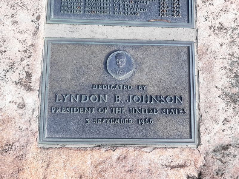
Lyndon B. Johnson
President of the United States
3 September 1966
Topics and series. This historical marker is listed in these topic lists: Architecture • Natural Resources • Waterways & Vessels. In addition, it is included in the Former U.S. Presidents: #36 Lyndon B. Johnson series list. A significant historical date for this entry is September 3, 1966.
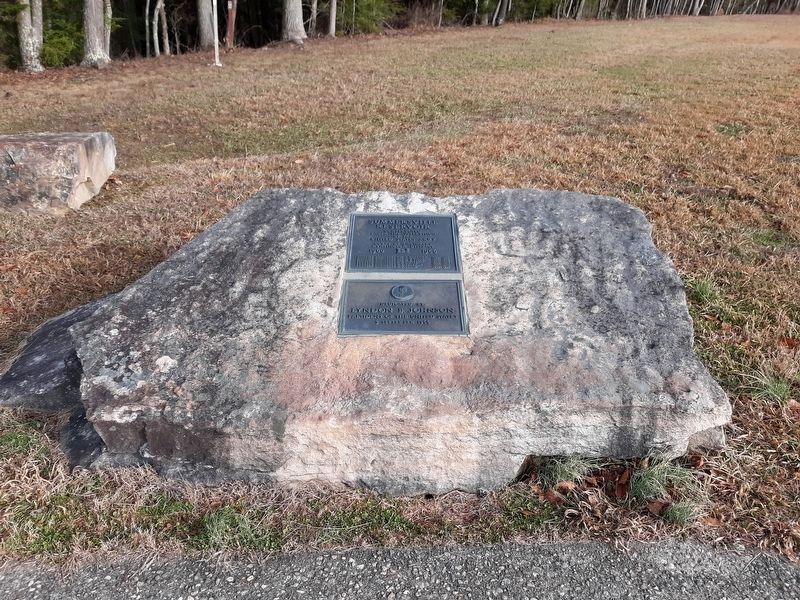
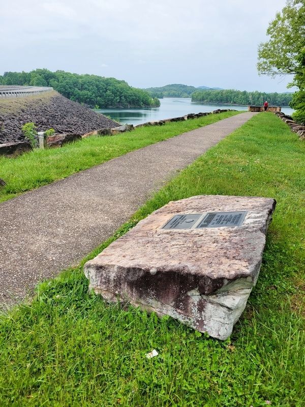
Location. 38° 13.383′ N, 80° 53.217′ W. Marker is in Summersville, West Virginia, in Nicholas County. Marker is on Summersville Lake Road (West Virginia Route 129) 0.3 miles west of Reservoir Street, on the right when traveling west. Touch for map. Marker is at or near this postal address: 2253 Summersville Lake Road, Summersville WV 26651, United States of America. Touch for directions.
Other nearby markers. At least 8 other markers are within 3 miles of this marker, measured as the crow flies. Running the River (within shouting distance of this marker); Flood Control (within shouting distance of this marker); Hawks Nest Workers Memorial and Grave Site (approx. 2 miles away); Hawks Nest Tunnel Disaster Workers Grave Site (approx. 2.1 miles away); Hughes Ferry / Bridge (approx. 2.2 miles away); Fight At Ramsey’s Fort (approx. 2.4 miles away); Kesslers Cross Lanes (approx. 2˝ miles away); Cross Lanes Battle (approx. 2.7 miles away).
Credits. This page was last revised on May 21, 2023. It was originally submitted on January 21, 2021, by Craig Doda of Napoleon, Ohio. This page has been viewed 94 times since then and 13 times this year. Photos: 1, 2, 3. submitted on January 21, 2021, by Craig Doda of Napoleon, Ohio. 4. submitted on May 21, 2023, by J. J. Prats of Powell, Ohio. • Devry Becker Jones was the editor who published this page.


