Poquoson, Virginia — The American South (Mid-Atlantic)
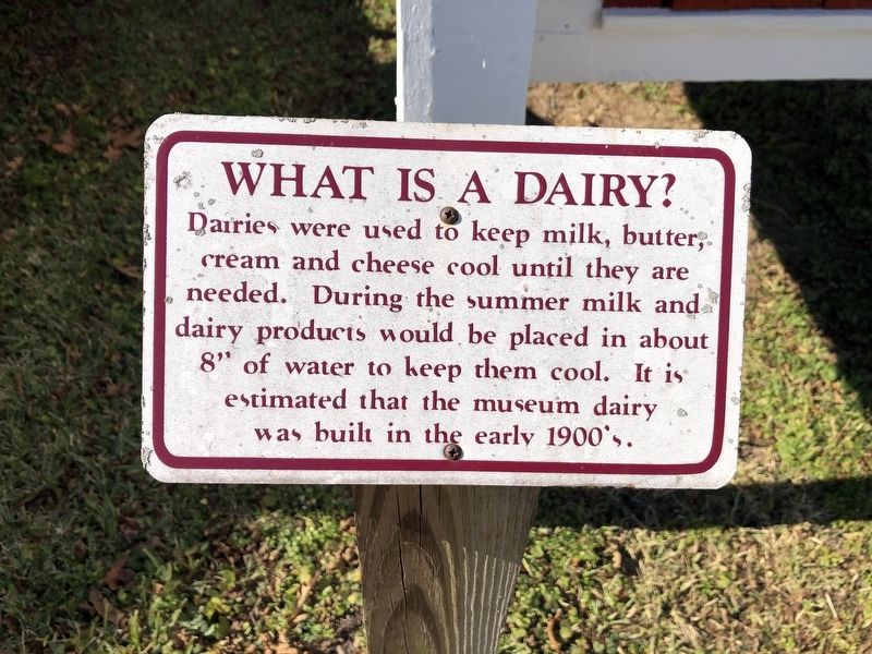
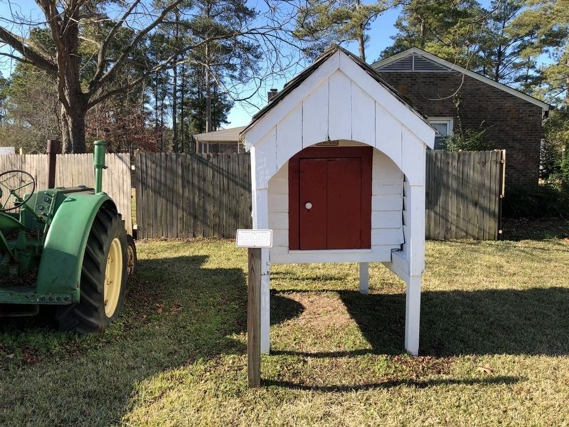
What Is A Dairy?
Erected by Poquoson Museum.
Topics. This historical marker is listed in this topic list: Agriculture.
Location. 37° 7.673′ N, 76° 21.983′ W. Marker is in Poquoson, Virginia. It is on Poquoson Avenue (Virginia Route 171) east of Route 171, on the right when traveling east. Touch for map. Marker is at or near this postal address: 968 Poquoson Ave, Poquoson VA 23662, United States of America. Touch for directions.

Regionally, this marker is on Virginia’s Peninsula, in Coastal Virginia, and in the Hampton Roads Metropolitan Area. It is also in the American South, specifically in the Upper South, in the Tidewater, and on the Eastern Seaboard. Globally, it is in the North Atlantic Region, North America, the Western Hemisphere, the Western World, and the Anglosphere. Historically, it finds itself in what was
this page online
Other nearby markers. At least 8 other markers are within walking distance of this marker: The Dryden Farmhouse (here, next to this marker); John Deere Tractor (here, next to this marker); Tom Hunt Store (a few steps from this marker); Barn (a few steps from this marker); Chesapeake Bay Two Log Canoe (a few steps from this marker); Wash House Restoration (a few steps from this marker); Miss Becky's Store (within shouting distance of this marker); Native American Three Sisters Garden (within shouting distance of this marker). Touch for a list and map of all markers in Poquoson.
Credits. This page was last revised on January 21, 2021. It was originally submitted on January 21, 2021, by Devry Becker Jones of Washington, District of Columbia. This page has been viewed 237 times since then and 17 times this year. Photos: 1, 2. submitted on January 21, 2021, by Devry Becker Jones of Washington, District of Columbia.
