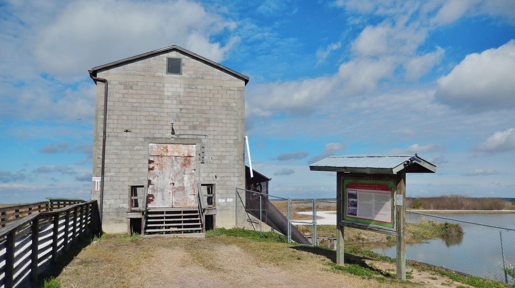
Apopka in Orange County, Florida — The American South (South Atlantic)
Farm Workers Enrich the Cultural History of Lake Apopka
Inscription.
The history of people and the environment intertwine at Lake Apopka.
Lake Apopka has a long history as a farming community. Beginning in the 1940s, about 20,000 acres of wetlands along the north shore of Lake Apopka were drained and diked to create farmland in the lake's rich marsh soil. This "muck" soil, in addition to a long growing season, produced a variety of vegetables, making the area one of the top vegetable producing regions in the United States.
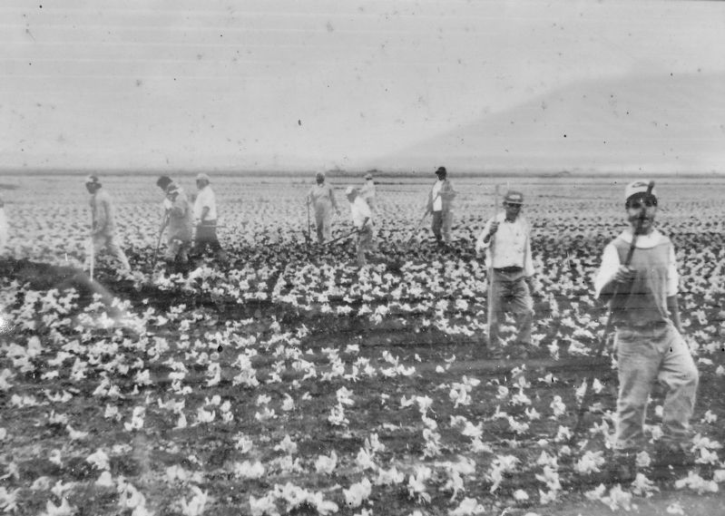
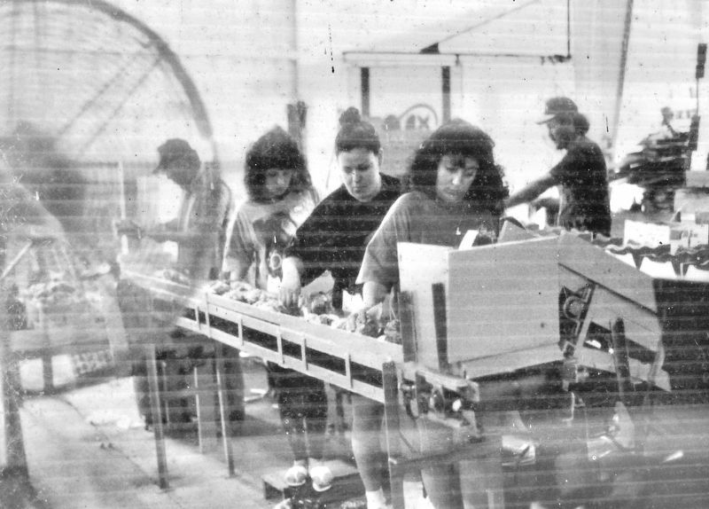
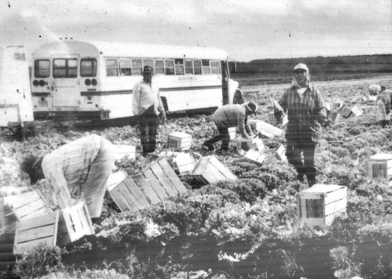
A rich and diverse human and cultural history grew on the farms around Lake Apopka, alongside the abundant and verdant crops that fed the nation for decades. The area's farm workers took pride in their work, which helped support the war effort of the mid-1940s. For some, it meant they could settle in the area and no longer needed to migrate with the seasons in order to make a living. Workers who moved to central Florida for farming jobs created a diverse workforce in the region. The diversity of workers included people from the Philippines, the Bahamas, Mexico, Jamaica, Guatemala, El Salvador, Haiti, and even German prisoners of war during World War II.
The farm work was arduous, requiring skill, dexterity and speed. Workers endured the Florida sun, heat, humidity, snakes and numerous biting insects. In the winter, they worked through the biting frost and cold. They spent hours stooped or crawling on hands and knees in the fields as they harvested rows of crops.
Farming directly along Lake Apopka's north shore ended in the late 1990s when a massive restoration effort began. The St. Johns River Water Management District purchased farms along the lake to protect water resources and began returning the fields to wetlands. This work reduced the discharges of fertilizers and pesticides that had caused the water to turn pea green and which had impacted area wildlife.
For information about restoration work at Lake Apopka, visit www.sjrwmd.com/lakeapopka.
Photos courtesy of the Farmworker Association of Florida and Crealde School of Art, funded by the Florida Humanities Council.
Erected by St. Johns River Water Management District.
Topics. This historical marker is listed in these topic lists: Agriculture • Environment • Industry & Commerce • Settlements & Settlers.
Location. 28° 40.084′ N, 81° 35.629′ W. Marker is in Apopka, Florida, in Orange County. Marker can be reached from Lust Road, 0.1 miles west of Welland Road. Marker is located along the Lake Apopka Loop Trail, on the south side of the old Pump House. Access is from the Lake Apopka Loop Trail or via Lusk Road on the Lake Apopka North Shore Wildlife Drive. Touch for map. Marker is in this post office area: Apopka FL 32703, United States of America. Touch for directions.
Other nearby markers. At least 8 other markers are within 7 miles of this marker, measured as the crow flies. Lake Apopka North Shore (here, next to this marker); The White House of Zellwood Station (approx. 3.3 miles away); Lovell's Landing at Lake Apopka (approx. 3½ miles away); Episcopal Church of the Holy Spirit (approx. 5.4 miles away); Armed Forces Memorial Apopka (approx. 5.6 miles away); Apopka Schoolhouse (approx. 5.6 miles away); Oldest Masonic Lodge Building in Continuous Use in Florida (approx. 5.6 miles away); Harper House (approx. 6½ miles away). Touch for a list and map of all markers in Apopka.
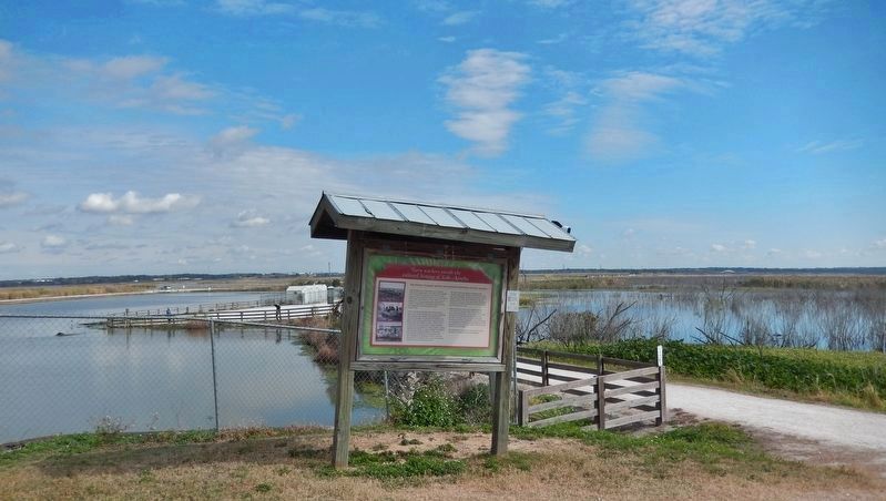
More about this marker. Marker is on the west side of a two-sided interpretive kiosk.
Also see . . . Lake Apopka Basin. Lake Apopka’s water quality restoration has been based on a multipronged approach of diet and exercise. “Diet” has focused on reducing the amount of phosphorus entering the lake. The largest “diet” improvement occurred following the Florida Legislature’s 1996 direction to the district to buy out the farms on the lake’s north shore. This area, formerly a floodplain marsh, was diked, drained and put into agricultural production in the 1940s. Phosphorus from these farms fueled the continuous algal bloom that shaded the lake’s vegetation and caused the bass fishery to collapse. (Submitted on January 22, 2021, by Cosmos Mariner of Cape Canaveral, Florida.)
Credits. This page was last revised on January 22, 2021. It was originally submitted on January 22, 2021, by Cosmos Mariner of Cape Canaveral, Florida. This page has been viewed 254 times since then and 29 times this year. Photos: 1, 2, 3, 4, 5, 6. submitted on January 22, 2021, by Cosmos Mariner of Cape Canaveral, Florida.

