Pascagoula in Jackson County, Mississippi — The American South (East South Central)
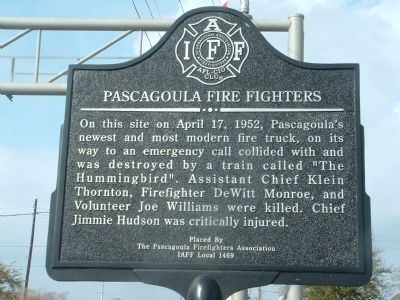
Pascagoula Fire Fighters
Photographed by Stephen Bell, February 27, 2009
1. Pascagoula Fire Fighters Marker
Erected by Pascagoula Firefighters Association IAFF Local 1469.
Topics. This historical marker is listed in this topic list: Notable Events. A significant historical month for this entry is April 1907.
Location. 30° 22.018′ N, 88° 33.389′ W. Marker is in Pascagoula, Mississippi, in Jackson County. It is at the intersection of Pascagoula Street and Railroad Avenue, on the right when traveling north on Pascagoula Street. Located next to the railroad tracks. Touch for map. Marker is in this post office area: Pascagoula MS 39567, United States of America. Touch for directions.

Regionally, this marker is in the American South, specifically in the Deep South, and on the Gulf Coast. Globally, it is in North America, a Gulf of Mexico state, the Western Hemisphere, the Western World, and the Anglosphere.
this page online
Other nearby markers. At least 8 other markers are within walking distance of this marker: Scranton's (about 600 feet away, measured in a direct line); Jackson County Government (approx. 0.2 miles away); Round Island Lighthouse (approx. ¼ mile away); a different marker also named Round Island Lighthouse (approx. ¼ mile away); a different marker also named Round Island Lighthouse (approx. ¼ mile away); Orange Avenue Historic District (approx. 0.3 miles away); DeJean House (approx. 0.3 miles away); Colle Company Housing (approx. 0.3 miles away). Touch for a list and map of all markers in Pascagoula.
Photographed by Stephen Bell, February 27, 2009
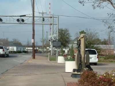
2. Pascagoula Fire Fighters Marker
The marker stands near the railroad crossing where the accident took place.
Photographed by Tommy Glen Goss, August 21, 2019
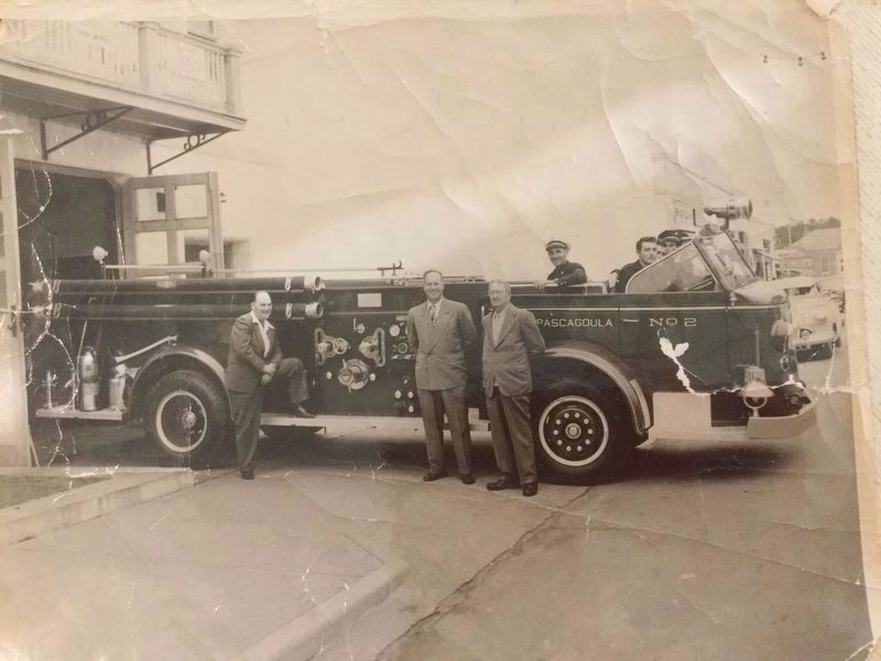
3. Pascagoula Fire Fighters Marker
The New Fire Truck with DeWitt Monroe sitting in the passenger seat.
Credits. This page was last revised on August 28, 2019. It was originally submitted on February 28, 2009, by Stephen Bell of Biloxi, Mississippi. This page has been viewed 1,927 times since then and 40 times this year. Last updated on February 28, 2009, by Stephen Bell of Biloxi, Mississippi. Photos: 1, 2. submitted on February 28, 2009, by Stephen Bell of Biloxi, Mississippi. 3. submitted on August 21, 2019, by Tommy Glen Goss of Arlington, Texas. • Craig Swain was the editor who published this page.
