Near Custer in Yellowstone County, Montana — The American West (Mountains)
Buffalo Country
Photographed by Barry Swackhamer, September 14, 2020
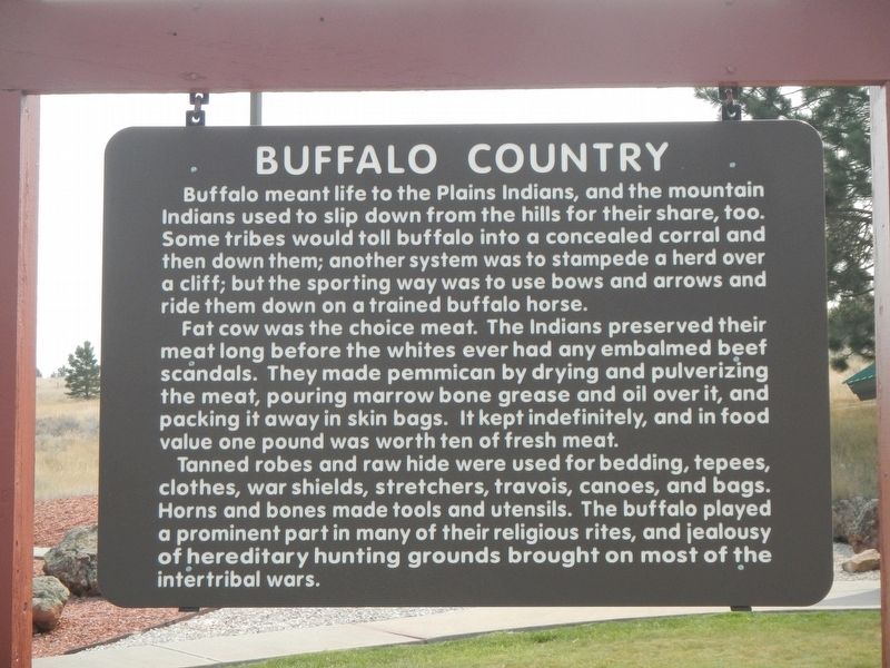
1. Buffalo Country Marker
Buffalo meant life to the Plains Indians, and the mountain Indians used to slip down from the hills for their share, too. Some tribes would toll buffalo into a concealed corral and then down them; another system was to stampede a herd over a cliff; but the sporting way was to use bows and arrows and ride them down on a trained buffalo horse.
Fat cow was the choice meat. The Indians preserved their meat long before the whites ever had any embalmed beef scandals. They made pemmican by drying and pulverizing the meat, pouring marrow bone grease and oil over it, and packing it away in skin bags. It kept indefinitely, and in food value one pound was worth ten in fresh meat.
Tanned robes and rawhide were used for bedding, tepees, clothes, war shields, stretchers, travois, canoes, and bags. Horn and bones made tools and utensils. The buffalo played a prominent part in many of their religious rites, and jealousy of hereditary hunting grounds brought on most of the intertribal wars.
Erected by Montana Department of Transportation.
Topics. This historical marker is listed in these topic lists: Animals •
this page online
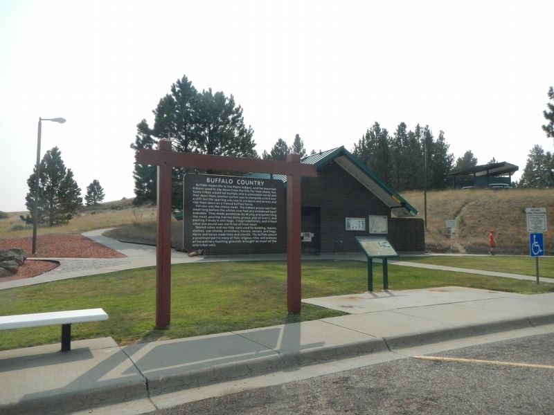
Location. 46° 5.391′ N, 107° 39.601′ W. Marker is near Custer, Montana, in Yellowstone County. It is on Interstate 94 at milepost 41, on the right when traveling west. The marker is located in the Custer Rest Area Westbound. Touch for map. Marker is in this post office area: Custer MT 59024, United States of America. Touch for directions.

Regionally, this marker is in Yellowstone Country and in Greater Billings. It is also in the American Mountain West and in the Lewis & Clark Corridor. Globally, it is in North America, the Western Hemisphere, the Western World, and the Anglosphere. Historically, it finds itself in what was once Rupert’s Land and also the Louisiana Purchase.
Other nearby markers. At least 5 other markers are within 12 miles of this marker, measured as the crow flies: The Great Highway of the Northwest: The Yellowstone Trail (here, next to this marker); Junction of Bighorn and Yellowstone Rivers (a few steps from this marker); a different marker also named Junction of Bighorn and Yellowstone Rivers
Photographed by Barry Swackhamer, September 14, 2020
2. Buffalo Country Marker
Also see . . . The Plains Indians – Surviving With the Buffalo. Legends of America website entry (Submitted on June 3, 2024, by Larry Gertner of New York, New York.)
Credits. This page was last revised on June 3, 2024. It was originally submitted on January 24, 2021, by Barry Swackhamer of Brentwood, California. This page has been viewed 885 times since then and 123 times this year. Last updated on January 24, 2021, by Bradley Owen of Morgantown, West Virginia. Photos: 1, 2. submitted on January 24, 2021, by Barry Swackhamer of Brentwood, California.
