Riviera in Kleberg County, Texas — The American South (West South Central)
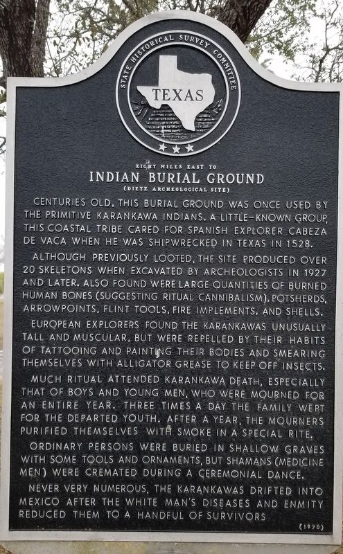
Indian Burial Ground
Eight Miles East to
— (Dietz Archeological Site) —
Centuries old, this burial ground was once used by the primitive Karankawa Indians. A little-known group, this coastal tribe cared for Spanish explorer Cabeza de Vaca when he was shipwrecked in Texas in 1528.
Although previously looted, the site produced over 20 skeletons when excavated by archeologists in 1927 and later. Also found were large quantities of burned human bones (suggesting ritual cannibalism), potsherds, arrowpoints, flint tools, fire implements, and shells.
European explorers found the Karankawas unusually tall and muscular, but were repelled by their habits of tattooing and painting their bodies and smearing themselves with alligator grease to keep off insects.
Much ritual attended Karankawa death, especially that of boys and young men, who were mourned for an entire year. Three times a day the family wept for the departed youth. After a year, the mourners purified themselves with smoke in a special rite.
Ordinary persons were buried in shallow graves with some tools and ornaments, but shamans (medicine men) were cremated during a ceremonial dance.
Never very numerous, the Karankawas drifted into Mexico after the white man's diseases and enmity reduced them to a handful of survivors.
Erected 1970 by State Historical Survey Committee . (Marker Number 2640.)
Topics. This historical marker is listed in these topic lists: Anthropology & Archaeology • Native Americans. A significant historical year for this entry is 1528.
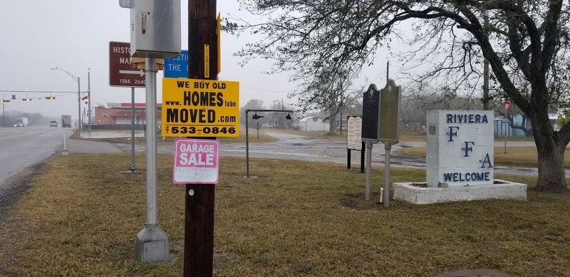
Location. 27° 17.919′ N, 97° 48.898′ W. Marker is in Riviera, Texas, in Kleberg County. Marker is at the intersection of U.S. 77 and East South Boulevard, on the left when traveling south on U.S. 77. Touch for map. Marker is in this post office area: Riviera TX 78379, United States of America. Touch for directions.
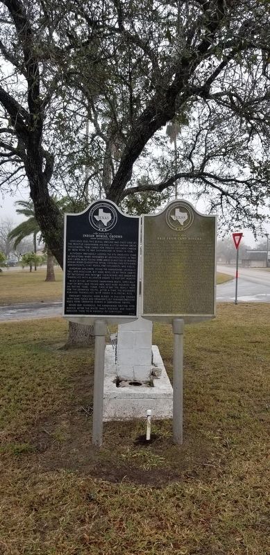
Other nearby markers. At least 8 other markers are within 6 miles of this marker, measured as the crow flies. Civil War Raid From Camp Boveda (here, next to this marker); Riviera United Methodist Church (approx. 0.2 miles away); Riviera Cemetery (approx. 0.4 miles away); 1766 Exploration of Diego Ortiz Parilla (approx. 3.9 miles away); U.S. Army March to Rio Grande, 1846 (approx. 3.9 miles away); Riviera - 1687 (approx. 5½ miles away); Kenedy County (approx. 5½ miles away); Kenedy County Courthouse Construction (approx. 5½ miles away). Touch for a list and map of all markers in Riviera.
Also see . . . Karankawa Indians. Texas State Historical Association entry:
The Karankawa Indians are an American Indian cultural group whose traditional homelands are located along Texas’s Gulf Coast from Galveston Bay southwestwardly to Corpus Christi Bay. The name Karankawa became the accepted designation for several groups of coastal people who shared a common language and culture. Those groups, identified in early historic times, included the Carancahuas, Coapites, Cocos, Cujanes, and Copanes. All of these Indians spoke a language called Karankawan, of which around 500 words are preserved. The significance of the name Karankawa has not been definitely established, although it is generally believed to mean "dog-lovers" or "dog-raisers." That translation seems plausible, since the Karankawas reportedly kept dogs that were described as a fox-like or coyote-like breed. Source: The Handbook of Texas(Submitted on January 26, 2021, by James Hulse of Medina, Texas.)
Credits. This page was last revised on January 26, 2021. It was originally submitted on January 25, 2021, by James Hulse of Medina, Texas. This page has been viewed 907 times since then and 148 times this year. Photos: 1, 2, 3. submitted on January 26, 2021, by James Hulse of Medina, Texas. • J. Makali Bruton was the editor who published this page.


