Downtown Austin in Travis County, Texas — The American South (West South Central)
Wood Street Settlement at Shoal Creek
Photographed by QuesterMark, August 31, 2025
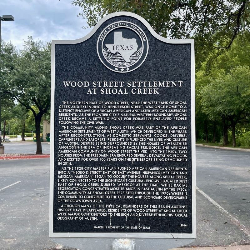
1. Wood Street Settlement at Shoal Creek Marker - New Location
The northern half of Wood Street, near the west bank of Shoal Creek and extending to Henderson Street, was once home to a distinct enclave of African American and later Mexican American residents. As the frontier city's natural western boundary, Shoal Creek became a settling point for formerly enslaved people following the Civil War.
The community along Shoal Creek was part of the African American settlements of West Austin which developed in the years after Reconstruction. As domestic servants, cooks, drivers, carpenters and laborers, residents influenced the lives and culture of Austin. Despite being surrounded by the homes of wealthier Anglos in the era of increasing racial prejudice, the African American community on Wood Street thrived into the 1920s. Two houses from the freedmen era endured several devastating floods and existed for over 100 years on the site before being demolished in 2014.
As the 1928 city master plan pushed African American residents into a "Negro district" east of East Avenue, Hispanics (Mexican and Mexican American) began to occupy the houses along Shoal Creek, likely connected to the significant
this page online
Although many of the physical reminders of this era in Austin's history have disappeared, residents of Wood Street at Shoal Creek were major contributors to the rich and diverse ethnic historical geography of Austin.
Marker is property of the State of Texas
Erected 2016 by Texas Historical Commission. (Marker Number 18576.)
Topics. This historical marker is listed in these topic lists: African Americans • Hispanic Americans • Settlements & Settlers. A significant historical year for this entry is 2014.
Location. 30° 16.243′ N, 97° 45.092′ W. Marker is in Austin, Texas, in Travis County. It is in Downtown Austin. It is on West 6th Street west of West Ave, on the right when traveling west. Touch for map. Marker is in this post office area: Austin TX 78703, United States of America. Touch for directions.

Regionally,
Photographed by QuesterMark, August 31, 2025
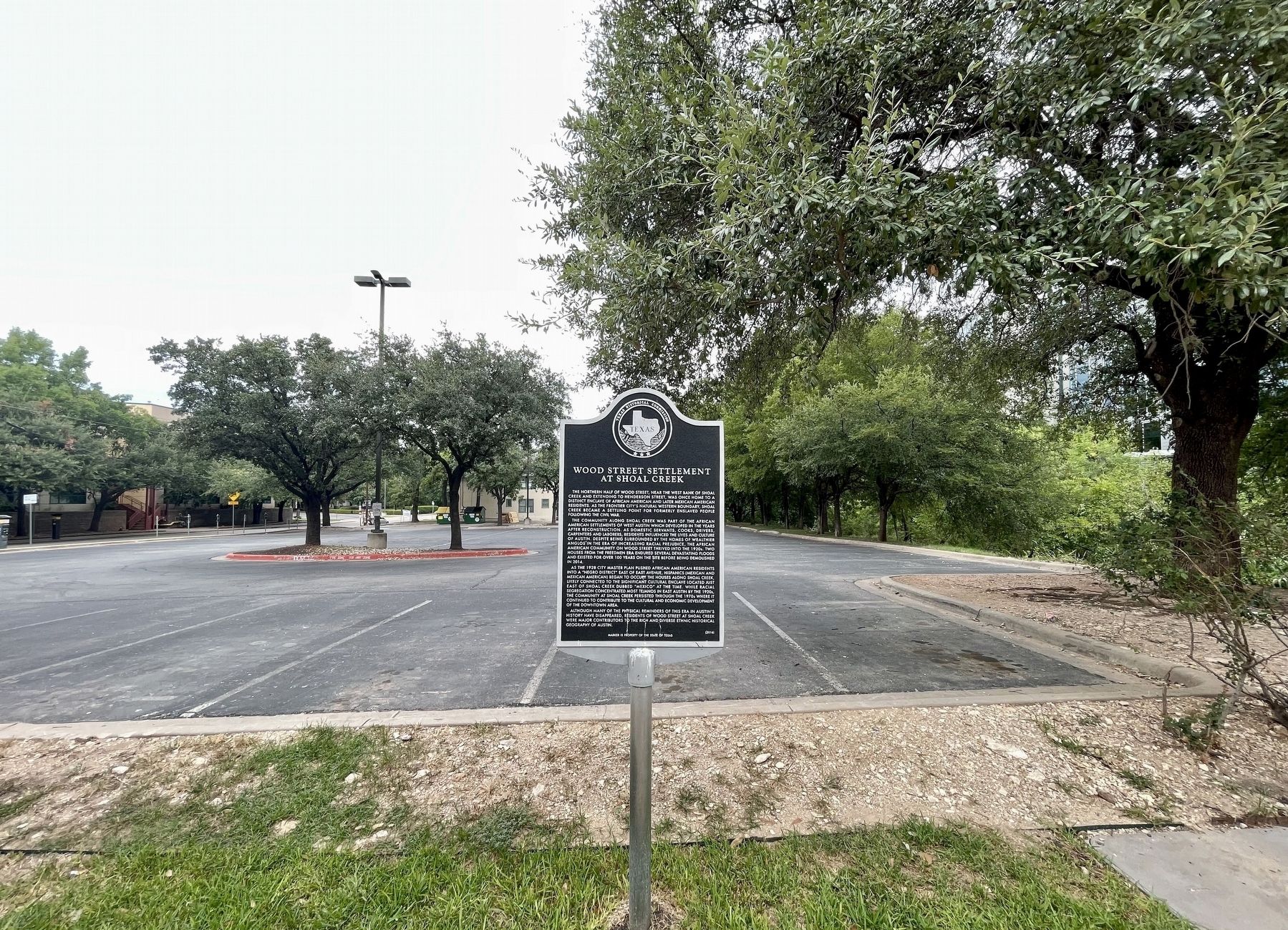
2. Wood Street Settlement at Shoal Creek Marker vicinity
Other nearby markers. At least 8 other markers are within walking distance of this marker: Robinson-Macken House (about 800 feet away, measured in a direct line); Joseph and Mary Robinson Martin House (approx. 0.2 miles away); West-Bremond Cottage (approx. 0.2 miles away); Emma West Flats (approx. 0.2 miles away); Gilfillan House (approx. 0.2 miles away); Moore-Flack House (approx. ¼ mile away); The Caldwell Treaty Oak Park (approx. ¼ mile away); The Boardman-Webb House (approx. ¼ mile away). Touch for a list and map of all markers in Austin.
More about this marker. The marker has been moved to a new location by the street
February 23, 2018
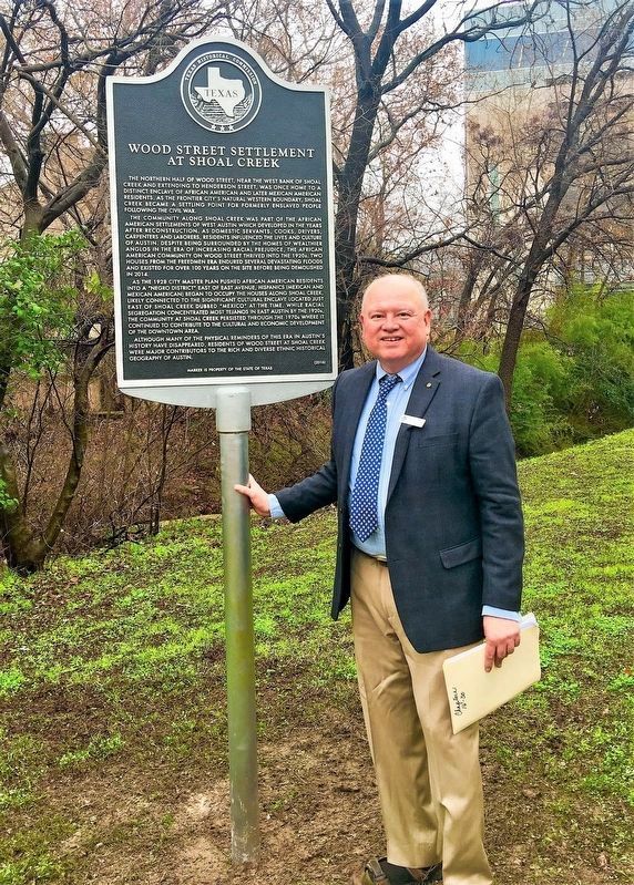
3. Wood Street Settlement at Shoal Creek Marker - Old Location
Seen here is Travis County Historical Commission member Joe Ramirez standing with the marker during marker dedication. Shoal Creek is visible in the background.
February 23, 2018
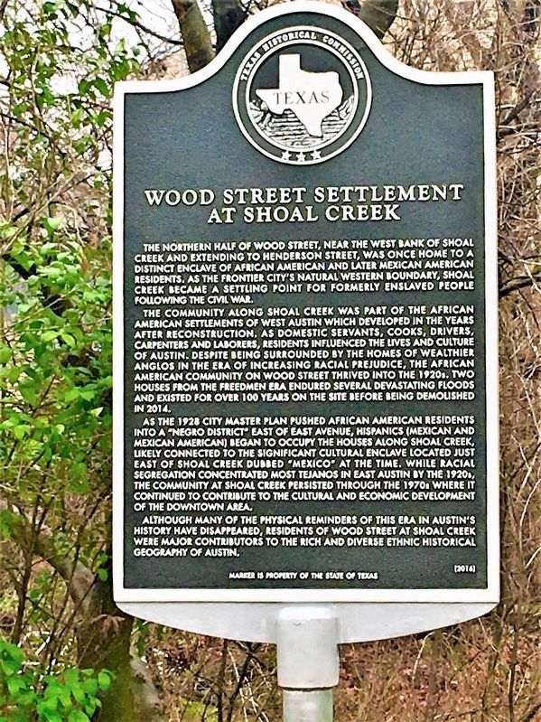
4. Wood Street Settlement at Shoal Creek Marker - Old Location
Credits. This page was last revised on September 14, 2025. It was originally submitted on January 26, 2021, by Richard Denney of Austin, Texas. This page has been viewed 1,161 times since then and 150 times this year. Photos: 1, 2. submitted on September 10, 2025, by QuesterMark of Fort Worth, Texas. 3, 4. submitted on January 26, 2021, by Richard Denney of Austin, Texas. • J. Makali Bruton was the editor who published this page.
