Port Isabel in Cameron County, Texas — The American South (West South Central)
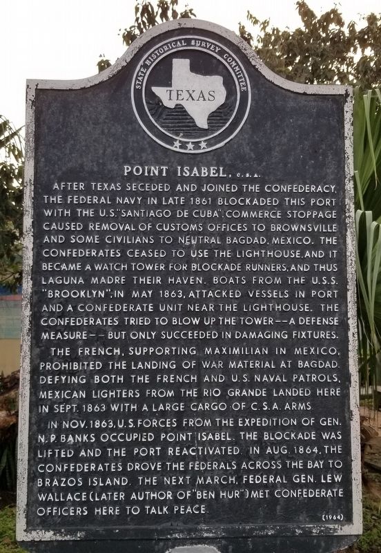
Port Isabel, C.S.A.
After Texas seceded and joined the Confederacy, the Federal Navy in late 1861 blockaded this port with the U.S. "Santiago de Cuba". Commerce stoppage caused removal of customs offices to Brownsville and some civilians to neutral Bagdad, Mexico. The Confederates ceased to use the lighthouse, and it became a watch tower for blockade runners, and thus Laguna Madre their haven. Boats from the U.S.S. "Brooklyn", in May 1863, attacked vessels in port and a Confederate unit near the lighthouse. The Confederates tried to blow up the tower - a defense measure - but only succeeded in damaging fixtures.
The French, supporting Maximilian in Mexico, prohibited the landing of war material at Bagdad. Defying both the French and U.S. Naval patrols, Mexican lighters from the Rio Grande landed here in Sept. 1863 with a large cargo of C.S.A. arms.
In Nov. 1863, U.S. forces from the expedition of Gen. N.P. Banks occupied Point Isabel. The blockade was lifted and the port reactivated. In Aug. 1864, the Confederates drove the Federals across the bay to Brazos Island. The next March, Federal Gen. Lew Wallace (later author of "Ben Hur") met Confederate officers here to talk peace.
Erected 1964 by State Historical Survey Committee. (Marker Number 4063.)
Topics. This historical marker is listed in this topic list: War, US Civil. A significant historical month for this entry is May 1863.
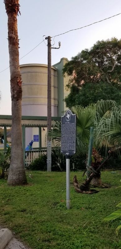
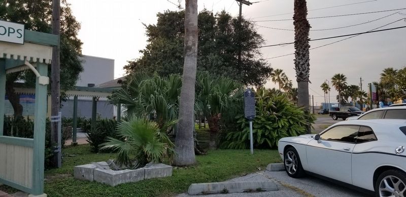
Location. 26° 4.586′ N, 97° 12.438′ W. Marker is in Port Isabel, Texas, in Cameron County. Marker is at the intersection of South Tarnava Street and Railroad Street, on the left when traveling north on South Tarnava Street. Touch for map. Marker is in this post office area: Port Isabel TX 78578, United States of America. Touch for directions.
Other nearby markers. At least 8 other markers are within walking distance of this marker. Charles Champion (within shouting distance of this marker); Site of Fort Polk (about 400 feet away, measured in a direct line); Old Point Isabel Lighthouse (about 500 feet away); A View from the Top (about 500 feet away); Point Isabel Lighthouse (about 600 feet away); Port of Matamoros (about 700 feet away); Queen Isabel Inn (about 700 feet away); Port Isabel Cemetery (approx. ¼ mile away). Touch for a list and map of all markers in Port Isabel.
Credits. This page was last revised on January 27, 2021. It was originally submitted on January 26, 2021, by James Hulse of Medina, Texas. This page has been viewed 229 times since then and 29 times this year. Photos: 1, 2, 3. submitted on January 26, 2021, by James Hulse of Medina, Texas. • J. Makali Bruton was the editor who published this page.


