Cumberland Township near Gettysburg in Adams County, Pennsylvania — The American Northeast (Mid-Atlantic)
A Useless Slaughter
July 1, 2:00 pm
| — | Gettysburg National Military Park | — |
Photographed by Karl Stelly, January 23, 2021
1. A Useless Slaughter Marker
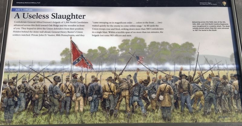
Confederate General Alfred Iverson's brigade of 1,300 North Carolinians advanced across this field toward Oak Ridge and the woodlot in front of you. They hoped to drive the Union defenders from their position. Hidden behind the stone wall ahead, General Henry Baxter's Union soldiers watched. Private John D. Vautier, 88th Pennsylvania, said they "came sweeping on in magnificent order...colors to the front...(we) waited quietly for the enemy to come within range." At 80 yards the Union troops rose and fired, striking down more than 500 Confederates in a single blast. Within a terrible span of no more than 10 minutes, the brigade lost some 903 officers and men.
(caption)
Advancing across this field, men of the 5th, 12th, 20th, and 23rd North Carolina regiments were slaughtered in a surprise attack. The dead, initially buried where they fell, were exhumed in 1871 for burial in the South.
Erected 2021 by the National Park Service, U.S. Department of the Interior.
Topics. This historical marker is listed in this topic list: War, US Civil. A significant historical date for this entry is July 1, 1863.
Location. 39° 50.736′ N, 77° 14.781′ W.
this page online

Regionally, this marker is in South-Central Pennsylvania. It is also in the American Northeast, in the Mid-Atlantic, in Appalachia, and specifically in Northern Appalachia. Globally, it is in North America, the Western Hemisphere, the Western World, and the Anglosphere. Historically, it finds itself in what was once the Haudenosaunee (Iroquois) Confederacy and also one of the original Thirteen Colonies.
Other nearby markers. At least 8 other markers are within walking distance of this marker: 9th New York Cavalry (within shouting distance of this marker); Second Brigade (within shouting distance of this marker); 6th New York Cavalry (about 400 feet away, measured in a direct line); 17th Pennsylvania Cavalry
Photographed by Karl Stelly, January 25, 2021
2. A Useless Slaughter Marker
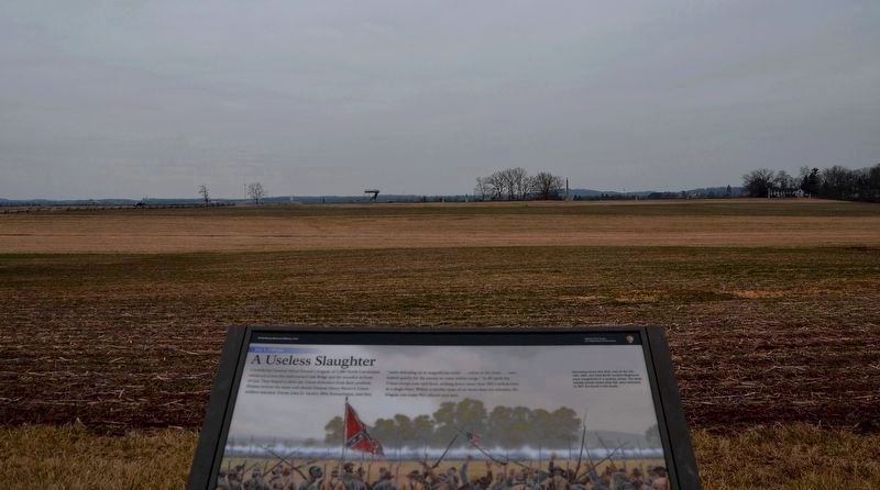
This view looks to the southeast. The Oak Ridge Tower at Auto Tour Stop 3 can be seen on the horizon just left of center.
Another marker is no longer nearby. The Cavalry Buys Time (was here, next to this marker but has been reported to have been replaced with another marker now near it).
Also see . . . Old Marker at this Location. This marker replaced an older one at this location titled “The Cavalry Buys Time". (Submitted on January 25, 2021.)
Photographed by Karl Stelly, January 25, 2021
3. A Useless Slaughter Marker
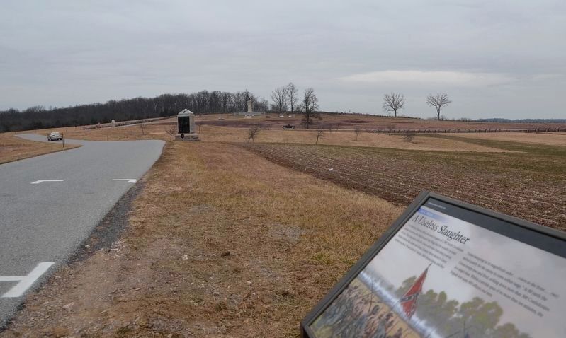
This view looks northeast towards the summit of Oak Ridge. The monument to the 9th New York Cavalry is near the center of the photo where the park road bends.
Photographed by Karl Stelly, January 25, 2021
4. A Useless Slaughter Marker
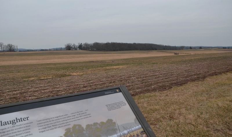
This view looks toward the southeast.
Credits. This page was last revised on February 7, 2023. It was originally submitted on January 23, 2021, by Karl Stelly of Gettysburg, Pennsylvania. This page has been viewed 1,333 times since then and 104 times this year. Last updated on January 26, 2021, by Karl Stelly of Gettysburg, Pennsylvania. Photos: 1. submitted on January 23, 2021, by Karl Stelly of Gettysburg, Pennsylvania. 2, 3, 4. submitted on January 26, 2021, by Karl Stelly of Gettysburg, Pennsylvania. • Bill Pfingsten was the editor who published this page.
