Ranchito in Cameron County, Texas — The American South (West South Central)
Esparza Cemetery
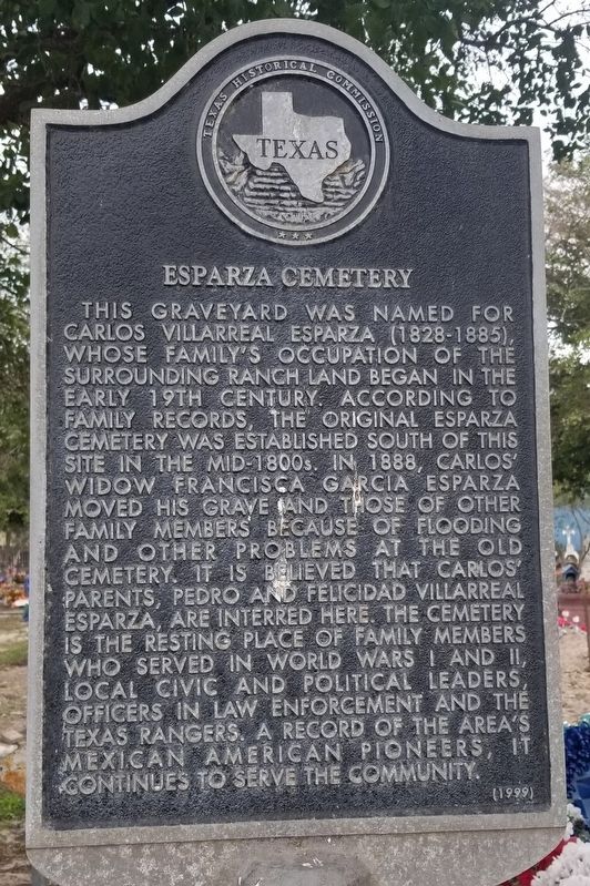
This graveyard was named for Carlos Villarreal Esparza (1828-1885), whose family's occupation of the surrounding ranch land began in the early 19th century. According to family records, the original Esparza Cemetery was established south of this site in the mid-1800s. In 1888, Carlos' widow Francisca Garcia Esparza moved his grave and those of other family members because of flooding and other problems at the old cemetery. It is believed that Carlos' parents, Pedro and Felicidad Villarreal Esparza, are interred here. The cemetery is the resting place of family members who served in World Wars I and II, local civic and political leaders, officers in law enforcement and the Texas Rangers. A record of the area's Mexican American pioneers, it continues to serve the community.
Erected 1999 by Texas Historical Commission. (Marker Number 11779.)
Topics. This historical marker is listed in this topic list: Cemeteries & Burial Sites. A significant historical year for this entry is 1888.
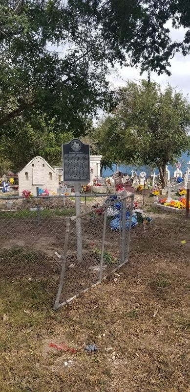
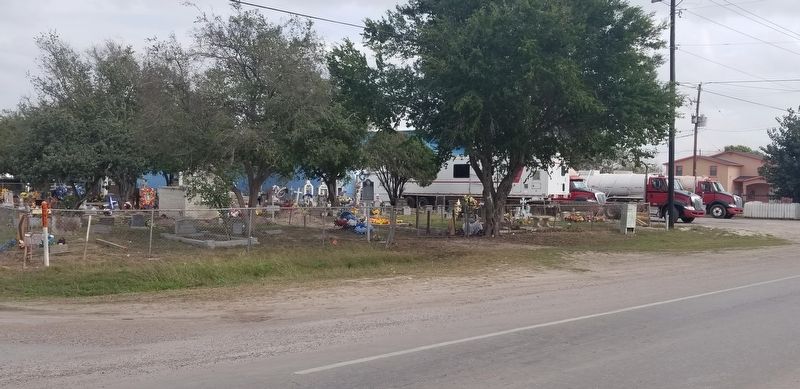
Location. 26° 1.484′ N, 97° 37.636′ W. Marker is in Ranchito, Texas, in Cameron County. Marker is at the intersection of Military Highway (U.S. 281) and Encantada Circle, on the right when traveling west on Military Highway. Touch for map. Marker is in this post office area: San Benito TX 78586, United States of America. Touch for directions.
Other nearby markers. At least 8 other markers are within 8 miles of this marker, measured as the crow flies. Sabas Cavazos Cemetery (approx. 3.4 miles away); Estéfana Goseascochea Cemetery (approx. 5.3 miles away); Matanza of 1915 (approx. 5.7 miles away); Here Was Santa Rita (approx. 6.7 miles away); "Rancho Viejo" (approx. 7.2 miles away); Water District Building (approx. 7.3 miles away); St. Benedict’s Church (approx. 7.3 miles away); The San Benito Bank and Trust Company (approx. 7.4 miles away).
Credits. This page was last revised on January 27, 2021. It was originally submitted on January 26, 2021, by James Hulse of Medina, Texas. This page has been viewed 388 times since then and 64 times this year. Photos: 1, 2, 3. submitted on January 26, 2021, by James Hulse of Medina, Texas. • J. Makali Bruton was the editor who published this page.


