Fort Jefferson in Darke County, Ohio — The American Midwest (Great Lakes)
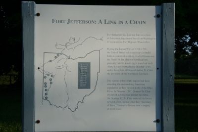
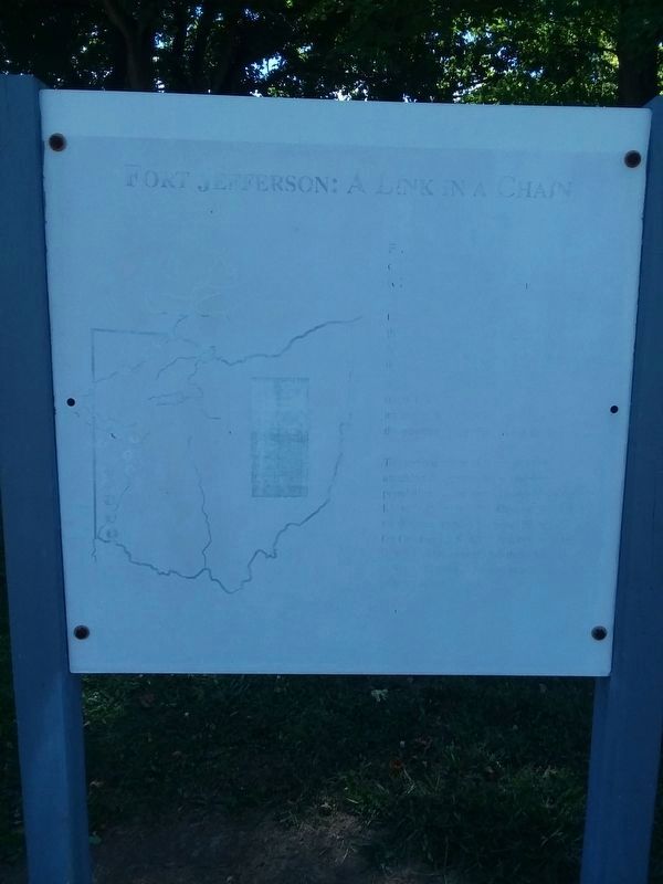
Fort Jefferson: A Link in a Chain
Fort Jefferson was just a link in a chain of forts stretching north from Fort Washington (Cincinnati) to Fort Deposit (Waterville).
During the Indian War of 1790-1795, the United States felt it necessary to build forts in contested territory. Fort Jefferson was the fourth in that chain of fortifications, generally within a hard day's march of each other. It was constructed in October 1791 under the orders of General Arthur St. Clair, the governor of the Northwest Territory.
The various tribes of the region had been attacking the encroaching American population as they moved north of the Ohio River. In October 1791, General St. Clair set out on a mission to punish the tribes. On October 12, St. Clair ordered his forces to build a fort, named after then - Secretary of State, Thomas Jefferson, near a supply of fresh water.
Erected by Ohio Historical Society.
Topics and series. This historical marker is listed in these topic lists: Forts and Castles • Native Americans • Wars, US Indian. In addition, it is included in the Former U.S. Presidents: #03 Thomas Jefferson series list. A significant historical month for this entry is October 1791.
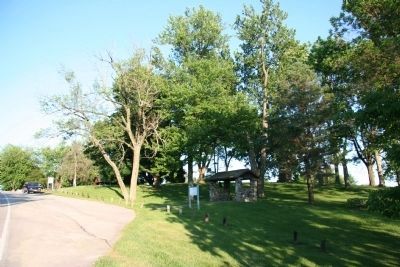
Location. 40° 1.562′ N, 84° 39.379′ W. Marker has been reported damaged. Marker is in Fort Jefferson, Ohio, in Darke County. Marker is on Weavers-Fort Jefferson Road, 0.1 miles west of Ohio Route 121, on the left when traveling west. Touch for map. Marker is at or near this postal address: 3981 Weavers-Fort Jefferson Rd, Greenville OH 45331, United States of America. Touch for directions.
Other nearby markers. At least 8 other markers are within walking distance of this location. Fort Jefferson / St. Clair’s Defeat (a few steps from this marker); Trench (a few steps from this marker); Underground Passage (within shouting distance of this marker); Ash Pit (within shouting distance of this marker); Fort Jefferson (within shouting distance of this marker); Excavation (within shouting distance of this marker); Firepit (within shouting distance of this marker); Well or Magazine Pit (within shouting distance of this marker). Touch for a list and map of all markers in Fort Jefferson.
Credits. This page was last revised on January 27, 2021. It was originally submitted on September 20, 2009, by Dale K. Benington of Toledo, Ohio. This page has been viewed 1,084 times since then and 21 times this year. Last updated on January 27, 2021, by Craig Doda of Napoleon, Ohio. Photos: 1. submitted on September 20, 2009, by Dale K. Benington of Toledo, Ohio. 2. submitted on January 27, 2021, by Craig Doda of Napoleon, Ohio. 3. submitted on September 20, 2009, by Dale K. Benington of Toledo, Ohio. • Devry Becker Jones was the editor who published this page.


