Newtown Falls in Trumbull County, Ohio — The American Midwest (Great Lakes)
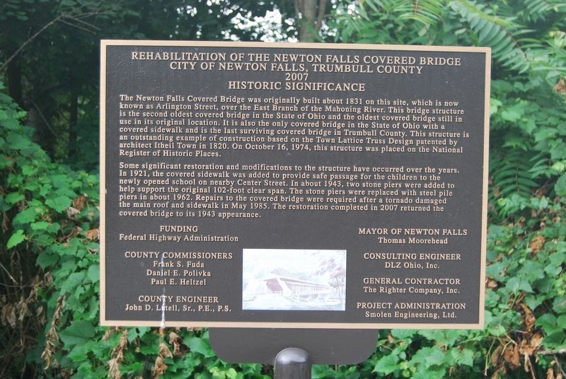
Rehabilitation of the Newtown Falls Covered Bridge
City of Newtown Falls, Trumbull County 2007
— Historic Significance —
Inscription.
The Newtown Falls Covered Bridge was originally built about 1831 on this site, which is now known as Arlington Street, over the East Branch of the Mahoning River. This bridge structure is the second oldest covered bridge in the State of Ohio and the oldest covered bridge still in use in its original location. It is also the only covered bridge in the State of Ohio with a covered sidewalk and is the last surviving covered bridge in Trumbull County. This structure is an extanding example of construction based on the Town Lattice Truss Design patented by architect Itheil Town in 1820. On October 16, 1974, this sturcture was placed on the National Register of Historic Places.
Some significant restoration and modifications to the structure have occurred over the years. In 1921, the covered sidewalk was added to provide safe passage for the children to the newly opened school on nearby Center Street. In about 1943, two stone piers were added to help support the original 102-foot clear span. The stone piers were replaced with steel pile piers in about 1962. Repairs to the covered bridge were required after a tornado damaged the main roof and sidewalk in May 1985. The restoration completed in 2007 returned the covered bridge to its 1943 appearance.
Erected 2007 by City of Newtown Falls,
Topics and series. This historical marker is listed in these topic lists: Architecture • Bridges & Viaducts • Education • Roads & Vehicles. In addition, it is included in the Covered Bridges series list. A significant historical month for this entry is May 1985.
Location. 41° 11.284′ N, 80° 58.263′ W. Marker is in Newtown Falls, Ohio, in Trumbull County. Marker is on River Street just west of North Milton Boulevard, on the right when traveling east. Touch for map. Marker is at or near this postal address: 115 N Milton Blvd, Newton Falls OH 44444, United States of America. Touch for directions.
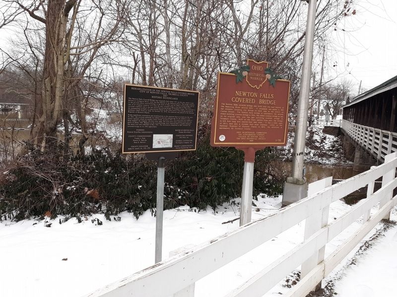
Other nearby markers. At least 8 other markers are within 8 miles of this marker, measured as the crow flies. Newton Falls Covered Bridge (here, next to this marker); Settled by Alexander and Sarah Sutherland / Newton Township Duck Creek Settlement (approx. 4.1 miles away); "Dino" Sings at Craig Beach (approx. 4.9 miles away); Pennsylvania & Ohio Canal In Leavittsburg (approx. 5.9 miles away); Leavittsburg Vietnam Conflict Memorial (approx. 6 miles away); Warren Township World War I & II Memorial (approx. 6 miles away); Leavittsburg Korean Conflict Memorial (approx. 6 miles away); Old Stagecoach Inn / Historic Palmyra Center (approx. 7.4 miles away).
Credits. This page was last revised on January 27, 2021. It was originally submitted on January 27, 2021, by Mike Wintermantel of Pittsburgh, Pennsylvania. This page has been viewed 112 times since then and 13 times this year. Photos: 1. submitted on August 11, 2018, by Mike Wintermantel of Pittsburgh, Pennsylvania. 2. submitted on January 27, 2021, by Craig Doda of Napoleon, Ohio. • Devry Becker Jones was the editor who published this page.

