Near Worden in Yellowstone County, Montana — The American West (Mountains)
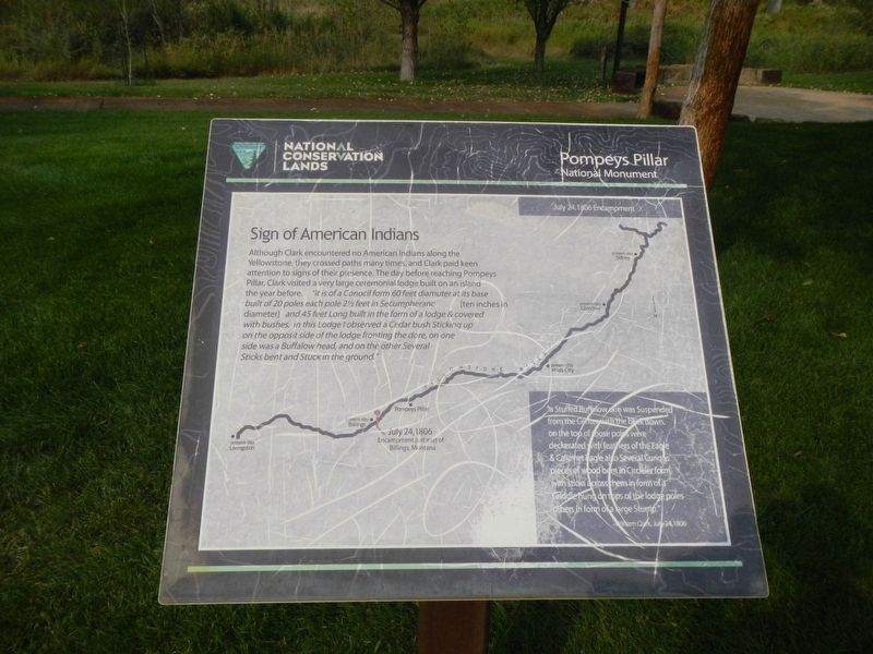
Sign of American Indians
July 24, 1809 Encampment
" a Stuffed Buffalow skin Suspended fro the Center with the back down. on the top of those poles were deckerated with feathers of the Eagle & Calumet Eagle also Several Curious pieces of wood bent in Circleler form with sticks across them in form of a Griddle hung on tops of the lodge poles other in form of a large Stump." -William Clark, July 24, 1806
Erected by Bureau of Land Management and National Conservation Lands.
Topics and series. This historical marker is listed in these topic lists: Exploration • Native Americans . In addition, it is included in the Lewis & Clark Expedition series list. A significant historical date for this entry is July 24, 1806.
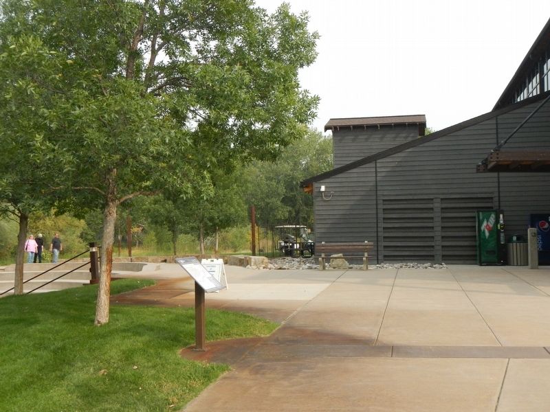
Location. 45° 59.689′ N, 108° 0.153′ W. Marker is near Worden, Montana, in Yellowstone County. Marker can be reached from State Highway 312 near South 31st Road, on the right when traveling west. This marker is on The "Yellowstone River" Walkway at Pompeys Pillar National Monument. Touch for map. Marker is at or near this postal address: 3001 Highway 312, Worden MT 59088, United States of America. Touch for directions.
Other nearby markers. At least 8 other markers are within walking distance of this marker. Making Canoes, Then and Now (here, next to this marker); Clark's Canoe Camp on the Yellowstone, Archaeology Study (a few steps from this marker); Using Modern Mapping Technology to Help Solve a 200 Year-Old Mystery (a few steps from this marker); Injury Forces a Halt to Build Canoes (a few steps from this marker); Preparations of Continuing the Trip (a few steps from this marker); Transportation: Hoofing It (within shouting distance of this marker); Transportation: Traveling Downstream (within shouting distance of this marker); Three Forks: Clark's Party Splits (within shouting distance of this marker). Touch for a list and map of all markers in Worden.
Credits. This page was last revised on January 27, 2021. It was originally submitted on January 27, 2021, by Barry Swackhamer of Brentwood, California. This page has been viewed 89 times since then and 9 times this year. Photos: 1, 2. submitted on January 27, 2021, by Barry Swackhamer of Brentwood, California.

