Near Worden in Yellowstone County, Montana — The American West (Mountains)
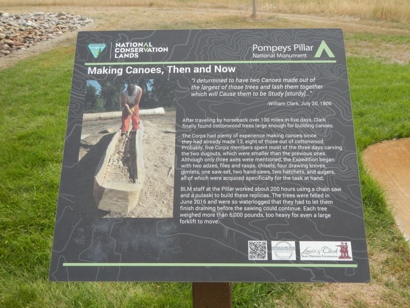
Making Canoes, Then and Now
After traveling by horseback over 100 miles in five days, Clark finally found cottonwood trees large enough for building canoes.
The Corps had plenty of experience making canoes since they had already made 13, eight of those out of cottonwood. Probably, five Corps members spent most of the three days carving the two dugouts, which were smaller that the previous ones. Although only three axes were mentioned, the Expdediton began with two adzes, files and rasps, chisels, four drawing knives, gimlets, one saw-set, two hand-saws, two hatchets, and augers, all of which were acquired specifically for the task at hand.
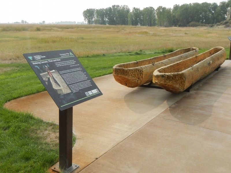
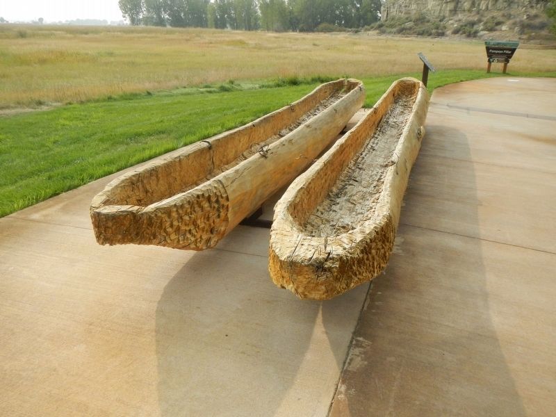
BLM staff at the Pillar worked about 200 house using a chain saw and a pulaski to build these replicas. The trees were felled in June 1916 and were so waterlogged that they had to let them finish draining before the sawing could continue. Each tree weighed more than 6,000 pounds, too heavy for even a large forklift to move.
Erected by Bureau of Land Management and National Conservation Lands.
Topics and series. This historical marker is listed in these topic lists: Exploration • Waterways & Vessels. In addition, it is included in the Lewis & Clark Expedition series list. A significant historical date for this entry is July 20, 1806.
Location. 45° 59.689′ N, 108° 0.156′ W. Marker is near Worden, Montana, in Yellowstone County. Marker is on State Highway 312 near South 31st Road. This marker is on The "Yellowstone River" Walkway at Pompeys Pillar National Monument. Touch for map. Marker is at or near this postal address: 3001 Highway 312, Worden MT 59088, United States of America. Touch for directions.
Other nearby markers. At least 8 other markers are within walking distance of this marker. Sign of American Indians (here, next to this marker); Clark's Canoe Camp on the Yellowstone, Archaeology Study (a few steps from this marker); Using Modern Mapping Technology to Help Solve a 200 Year-Old Mystery (a few steps from this marker); Injury Forces a Halt to Build Canoes (a few steps from this marker); Preparations of Continuing the Trip (a few steps from this marker); Transportation: Hoofing It (within shouting distance of this marker); Transportation: Traveling Downstream (within shouting distance of this marker); Three Forks: Clark's Party Splits (within shouting distance of this marker). Touch for a list and map of all markers in Worden.
Credits. This page was last revised on January 27, 2021. It was originally submitted on January 27, 2021, by Barry Swackhamer of Brentwood, California. This page has been viewed 132 times since then and 11 times this year. Photos: 1, 2, 3. submitted on January 27, 2021, by Barry Swackhamer of Brentwood, California.


