Progreso in Hidalgo County, Texas — The American South (West South Central)
Progreso
Photographed by James Hulse, January 24, 2021
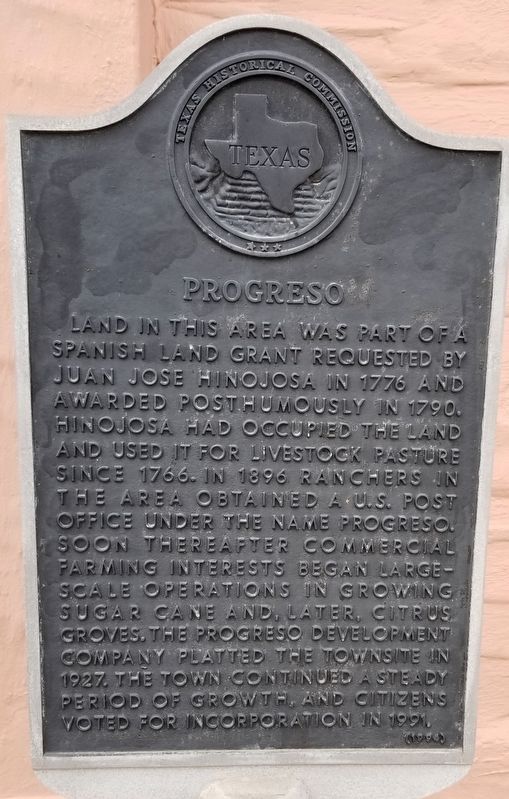
1. Progreso Marker
Land in this area was part of a Spanish land grant requested by Juan Jose Hinojosa in 1776 and awarded posthumously in 1790. Hinojosa had occupied the land and used it for livestock pasture since 1766. In 1896 ranchers in the area obtained a U.S. Post Office under the name Progreso. Soon thereafter commercial farming interests began large scale operations in growing sugar cane and, later, citrus groves. The Progreso Development Company platted the townsite in 1927. The town continued a steady period of growth, and citizens voted for incorporation in 1991.
Erected 1994 by Texas Historical Commission. (Marker Number 4132.)
Topics. This historical marker is listed in these topic lists: Agriculture • Industry & Commerce. A significant historical year for this entry is 1776.
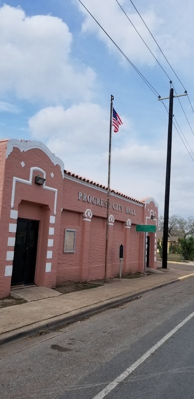
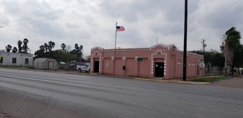
Location. 26° 5.532′ N, 97° 57.52′ W. Marker is in Progreso, Texas, in Hidalgo County. It is at the intersection of Business Farm to Market Road 1015 and Palm Avenue, on the left when traveling north on Highway 1015Business . The marker is located on the front wall of the Progreso City Hall. Touch for map. Marker is at or near this postal address: 300 FM 1015, Progreso TX 78579, United States of America. Touch for directions.

Regionally, this marker is in South Texas. It is also in the American Borderlands and in the South. Globally, it is in North America, a Gulf of Mexico state, the Western Hemisphere, the Western World, and the Anglosphere. Historically, it finds itself in what was once New Spain, the Republic of Texas, and one of the Confederate States of America.
Other nearby markers. At least 8 other markers are within 5 miles of this marker, measured as the crow flies: Former Station Site of Spiderweb Railroad (about 600 feet away, measured in a direct line); Battle of La Bolsa (approx. 1.1 miles away); Military Highway of the Lower Rio Grande Valley
this page online
Also see . . . Progreso, Texas.
During World War I the Borderland Sugar Company developed sugarcane plantations in the area. In 1920 W. M. Bancroft of the sugar company sold 6,271 acres, including all of the site of Progreso and Progreso Lakes, to the Llano Grande Plantation Company for growing sugarcane. For a time the area experienced a small boom. Source: The Handbook of Texas(Submitted on January 27, 2021, by James Hulse of Medina, Texas.)
Photographed by James Hulse, January 24, 2021
2. Progreso Marker
Photographed by James Hulse, January 24, 2021
3. Progreso City Hall and Marker
Credits. This page was last revised on January 28, 2021. It was originally submitted on January 27, 2021, by James Hulse of Medina, Texas. This page has been viewed 656 times since then and 51 times this year. Photos: 1, 2, 3. submitted on January 27, 2021, by James Hulse of Medina, Texas. • J. Makali Bruton was the editor who published this page.
