St. Augustine in St. Johns County, Florida — The American South (South Atlantic)
Site of El Pozo
Photographed by Brandon D Cross, July 25, 2020
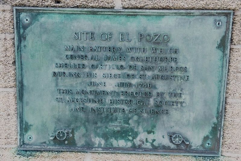
1. Site of El Pozo Marker
Main Battery with which General James Oglethorpe shelled Castillo de San Marcos
June – July 1740
This monument erected by the St. Augustine Historical Society and Institute of Science.
Additional panels
Besieging forces including Georgia and Carolina Provincial Militia, Indians and an English Fleet failed to reduce the city after 29 days siege and withdrew.
Governor Manuel de Montiano made wise defence – city’s inhabitants and garrison crowded in the fort faced starvation until relief eluded the English blockade.
This park is property of the St. Augustine Historical Society and the Institute of Science.
A.D. 1938
Erected 1938 by St. Augustine Historical Society and Institute of Science.
Topics. This memorial is listed in these topic lists: Colonial Era • Forts and Castles • Parks & Recreational Areas.
Location. 29° 53.701′ N, 81° 17.969′ W. Memorial is in St. Augustine, Florida, in St. Johns County. It is at the intersection of Oglethorpe Boulevard and Arredondo Avenue, on the right when traveling east on Oglethorpe Boulevard.
this page online

Regionally, this memorial is in First Coast and in Greater Jacksonville. It is also in the American South and on the Eastern Seaboard. Globally, it is in the North Atlantic Region, North America, a Gulf of Mexico state, the Western Hemisphere, the Western World, and the Anglosphere. Historically, it finds itself in what was once New Spain, the territory of the Mississippian Culture, one of the Confederate States of America, and the Antebellum South.
Other nearby markers. At least 8 other markers are within walking distance of this marker: Oglethorpe Battery Park (a few steps from this marker); Medici Lions (approx. 0.3 miles away); Davis Shores (approx. 0.3 miles away); Atlantic Intracoastal Waterway (approx. 0.7 miles away); St. Augustine Sea Wall (approx. 0.7 miles away); The Boat Basin (approx. 0.7 miles away); Saving the Seawall / Salvando el malecón (approx. 0.7 miles away); The Historic St. Augustine Seawall
Photographed by Brandon D Cross, July 25, 2020
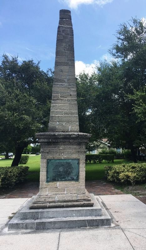
2. Site of El Pozo Monument and Marker
Photographed by Brandon D Cross, July 25, 2020
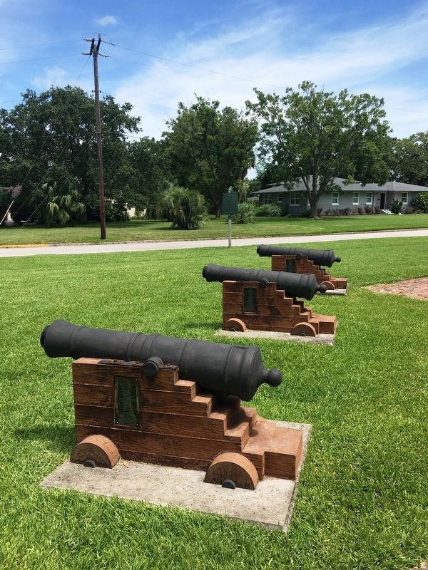
3. Cannon emplacements at Oglethorpe Battery Park
Credits. This page was last revised on January 28, 2021. It was originally submitted on January 28, 2021, by Brandon D Cross of Flagler Beach, Florida. This page has been viewed 1,024 times since then and 42 times this year. Photos: 1, 2, 3. submitted on January 28, 2021, by Brandon D Cross of Flagler Beach, Florida. • J. Makali Bruton was the editor who published this page.
